

Kali Gandaki
Also known as: Kali Gandaki / Krishna Gandaki
One of the world deepest gorges; views of Dhaulagiri and Annapurna; temples and villages
Is there water?
Whether there is a river here on your dates, and what kind of water it is.
Snow and monsoon fed; big volume post-monsoon, low clear in spring
Post-monsoon Oct-Nov highest water; spring lower and warmer. Confirm.
Oct to early Dec and Mar to Apr
Cool to mild mountain water; wetsuit advised in high season (est)
Monsoon flooding and landslides Jun-Sep; flash rises possible. Confirm.
Grade & who can come
A river changes grade with its level. These grades describe a normal flow - in flood the same run is harder, and often a different run entirely. Check the gauge before you commit.
Nepali grade 3-4 (grade 4+ in high water)
Rafting and kayaking
Usually one 3-day trip; shorter 2-day options in low water
For fit intermediate to advanced paddlers; committing gorge, limited road bail-out
The run
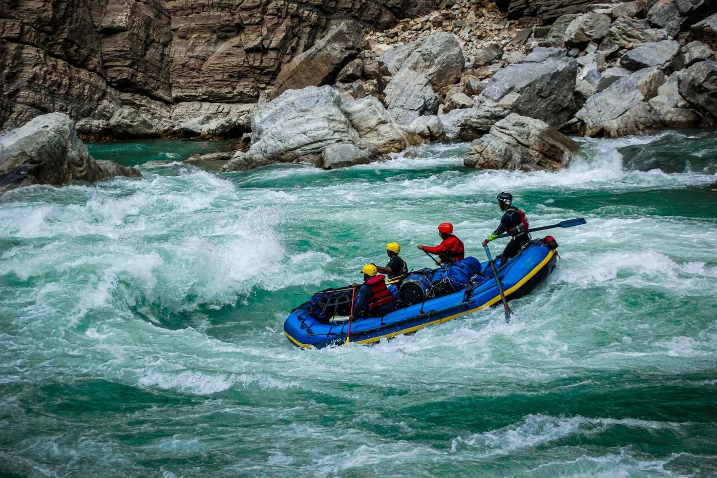
Named class 4 rapids Big Brother, Rafters Refund, Morning Glory; continuous from day one. Confirm.
Generally read-and-run; scout big drops; hydro dam at Mirmi ends the run. Confirm.
Kali Gandaki (Baglung/Nayapul to Andhi Khola confluence)
Moderate; classic multiday, quieter than Trisuli
Access & shuttle
No government river permit since 1999; operator fees only. Confirm.
Permits and operators change - confirm before booking.
Put-in near Nayapul/Maldunga (Baglung); take-out near Setibeni/Andhi Khola confluence above Mirmi dam
About 3 hr drive from Pokhara to put-in; road take-out for return. Confirm.
Wild white-sand beach camps; camps below Modi Khola and near Purtighat bridge
Operator provides camping and gear; little to no mobile coverage in gorge
Pokhara and Baglung hubs; Ultimate Descents, GRG, Nepal River Runner (est)
Hazards & exits
Committing gorge with big-water rapids; dam at Mirmi and low water can shorten route. Confirm.
Limited road access mid-gorge; trails to hill villages for evac; road at take-out
Commercial guided raft with safety kayak; NARA-registered operator required
This profile is desk research, compiled from public sources - not a first-hand river run report. Coordinates are approximate.