

Paro Chhu
Also known as: Paro River, Pa Chhu
Meanders through Paro Valley past Paro town (Bhutan's only international airport); highlight Tachog Lhakhang 15th-century iron chain bridge; Chuzom three-chorten confluence; Rinpung Dzong and Taktsang nearby
Is there water?
Whether there is a river here on your dates, and what kind of water it is.
Glacier/snowmelt fed, rising on the south side of Mt Jomolhari (7326 m); monsoon Jun-Aug peak flows; no gauge. Confirm.
Spring snowmelt and post-monsoon autumn at low-to-medium flow; monsoon too high, winter too cold; no gauge. Confirm.
Spring (Mar-May) and Autumn (Sep-Nov); NWRC runs Bhutan in November. Confirm.
Cold - glacier/snowmelt sourced high-Himalayan origin; winter too cold; drysuit/thermal outside peak warmth
Monsoon rains make it too high/dangerous mid-summer; flash rises possible; low water also forces portages
Grade & who can come
A river changes grade with its level. These grades describe a normal flow - in flood the same run is harder, and often a different run entirely. Check the gauge before you commit.
Class III+ overall with one Class V (Boulder Choke); gradient 49 fpm. Upper Paro Chhu nearly continuous Class IV with Class V+ gorges
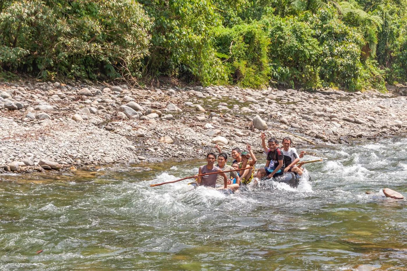
Kayaking; Rafting
Multiple put-ins (Wire Rope Sling Bridge; alt at ~mile 1.2; bridge access ~mile 4.1 just above Boulder Choke); experts can continue past Chuzom onto the Wang Chhu
Beginner/intermediate kayakers plus guided rafts except the Class V Boulder Choke (portaged by less-experienced parties); river is small; Upper run expert/exploratory kayak only
The run
Boulder Choke V at ~mile 5 is the crux - long complex rapid with high pin potential, normally portaged river-right; Hungry Ghost left channel a tight squeeze
Typical portage at Boulder Choke V river-right (pin risk); Hungry Ghost tight squeeze; footbridges span river; possible strainers; Upper run has multiple portages and Class V+ gorges
Lower Paro Chhu (Paro to Chuzom); Upper Paro Chhu (Shana, first-descent ~2014, expert-only)
Very low paddling traffic (high-value low-volume policy); Lower run parallels the busy Paro-Thimphu road; Upper genuinely remote
Access & shuttle
Sustainable Development Fee USD 100 pp per night (ages 6-11 USD 50; incentive rate Sep 2023-Aug 2027) + USD 40 visa; must book via licensed Bhutanese operator; no river-specific concession found. Confirm.
Permits and operators change - confirm before booking.
Excellent road access - Paro-Thimphu highway follows the river giving several roadside put-ins; Chuzom take-out needs hiking boats up to the road; Upper put-in at Shana past Drukgyel Dzong
Simple road shuttle along Paro-Thimphu highway; support vehicles; on Upper, road close enough to truck-portage
Day trip - lodging in Paro/Thimphu hotels; no riverside huts; Upper trip combined with Jomolhari trek base-camp infrastructure
Cold-water gear (drysuit/thermals, helmet, PFD); outfitters supply boats and safety kit; reasonable coverage in Paro-Thimphu corridor, Upper off-grid (est)
Paro (put-in, airport) and Thimphu (~30 km); Chuzom junction; ground operator Xplore Bhutan
Hazards & exits
Boulder Choke V pin risk with swift lead-in; cold glacial water; monsoon flood danger; low water exposes rocks; small boulder-choked character; Upper expert-only Class V+ gorges
Highway parallels Lower run for road egress at many points; Paro hospital and airport nearby; Upper far more committing with limited egress
Licensed guide/operator required; run with an established outfitter (e.g. NWRC with partner Xplore Bhutan); independent expert self-support effectively unavailable to foreigners
This profile is desk research, compiled from public sources - not a first-hand river run report. Coordinates are approximate.