

Gwydir River
Also known as: Gwydir Gorge
Massive granite bedrock and boulder gorge; tall eucalypts and granite cliffs; sliding rock near finish
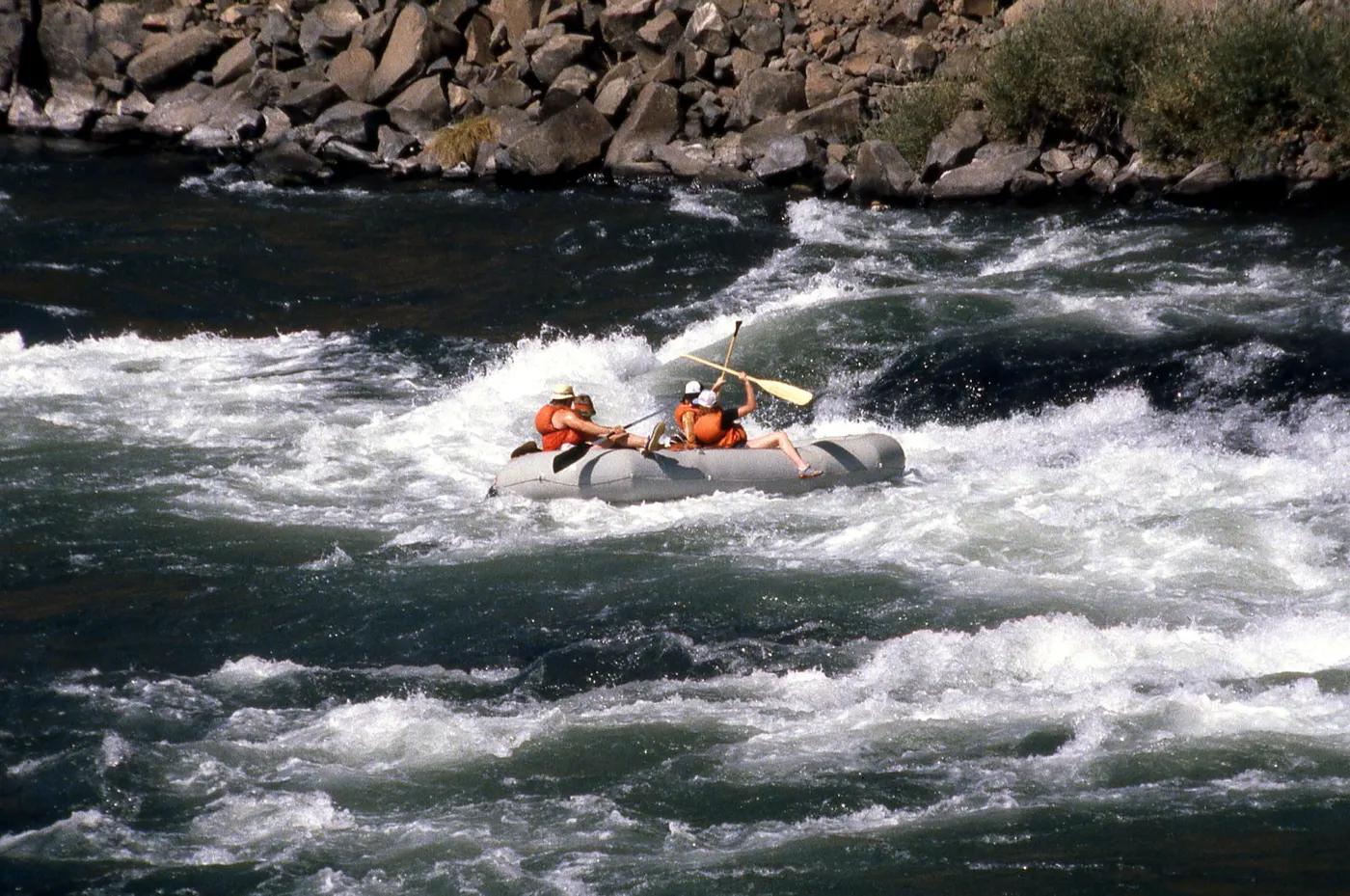
Is there water?
Whether there is a river here on your dates, and what kind of water it is.
Dam-release (Copeton Dam) for downstream irrigation; level set by water availability and orders
Summer irrigation-release window, flows ~2000-6000 ML/d; run described at ~4000 ML/d (Confirm.)
Summer (Dec-Feb), peak levels late January
Released dam water can be cool; warm summer air
Releases weather/allocation dependent; hot summer conditions; flood spill rare
Grade & who can come
A river changes grade with its level. These grades describe a normal flow - in flood the same run is harder, and often a different run entirely. Check the gauge before you commit.
Average Grade IV, highest Grade V (Grade VI falls portaged); Class III-VI
Rafting; kayak
Can split into two days; portage lines avoid the hardest drops
Very capable groups only; must roll proficiently and handle high-water; not for novices
The run
Opening sequence Double Trouble/More Trouble/Real Trouble/ABC (Grade V); Dead End Falls and Sapphire Falls (Grade VI) portaged
Advised/compulsory portages at ABC stopper, Dead End Falls (VI), Sapphire Falls (VI); weir-like suckback stoppers
Copeton Dam to Horse Stealers Creek (Gwydir Gorge)
Low crowds; specialist run; occasional club/commercial groups
Access & shuttle
No park fee noted; access/permission from take-out landowner required
Permits and operators change - confirm before booking.
Put-in below Copeton Dam floodgates; take-out at Horse Stealers Creek on private land
Car shuttle; take-out access via private property - contact landowner, conditions change (Confirm.)
Day run; camping possible if run over 2 days
Whitewater kit, helmet, reliable roll; limited-to-no mobile coverage in gorge
Inverell; Bingara; Copeton Dam recreation area
Hazards & exits
Grade VI falls; powerful suckback stoppers; tree race hazard
Road access limited; self-rescue capability essential; nearest help Inverell
Self-supported expert groups or commercial rafting; guide recommended
This profile is desk research, compiled from public sources - not a first-hand river run report. Coordinates are approximate.