

Khao Yai MTB (Thiang / Da)
Also known as: Khao Yai MTB
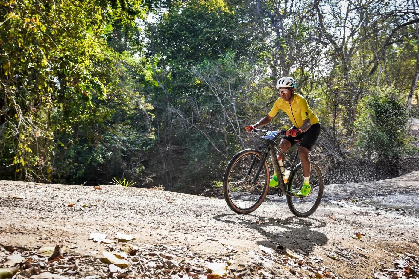
Forest canopy singletrack, views over Lam Takhong Reservoir, Khao Yai foothills
Who in your group rides what
Whether everyone in your group gets a day at Khao Yai MTB (Thiang / Da) - the grades on offer, the named zones, and how mixed abilities split up.
Thiang: mostly flowy singletrack, Trail D most challenging (steep rocky, drops, plank bridge). Khao Yai Da DH: red/black technical DH, one of Thailand's harder DH tracks.
GROUP SPLIT: beginners/intermediates ride Khao Yai Thiang flowy Trails A/B/C (approx 3 km, gentle); advanced riders take Thiang Trail D or drive to the technical Khao Yai Da downhill (short approx 1.2-2 km DH full of drops/jumps, DH bike required).
Thiang caters to all abilities (XC and enduro); Khao Yai Da strictly experienced DH riders. Popular with Bangkok riders on weekends.
The riding
Forest singletrack, rock gardens, roots, dirt, wooden plank bridges; Khao Yai Da rocky with dry stream-bed gaps
Thiang: rock gardens, jumps, berms, mostly under forest canopy, gentle gradient; Trail D steep rocky drops and plank bridge. Khao Yai Da DH: jumps 6ft+, drop-offs, rock garden, slippery roots/rocks, requires DH bike and safety kit.
Thiang community-built and signed by local riders (trails labelled); Khao Yai Da well-marked with 'Channel 5/7' signage. No formal Trailforks GPX yet - VERIFY.
Popular weekend destination for Bangkok mountain bikers; quieter midweek
Season & conditions
Year-round; no snow. Green/wet May-Oct (slippery).
Nov-Feb (cool dry season, best trail conditions)
Local community events and weekend gatherings; harvest/green-season reservoir views. VERIFY specific events.
SW monsoon rains May-Oct make rocky/rooty sections slick; heat and humidity; occasional thunderstorms
Getting there & gear
Community trails, no formal fee found; trails are outside Khao Yai NP core (so no park entry fee for these). VERIFY.
Permits and operators change - confirm before booking.
Khao Yai Thiang: from Bangkok take Highway 2 past Pak Chong, watch for Lam Takhong Dam; approx 200 km NE of Bangkok. Khao Yai Da DH (Rayong): road alongside Wat Khao Samphao Thong near Ban Phae, approx 200 m to reservoir/pavilion car park.
Self-drive from Bangkok most common; no formal shuttle. Khao Yai Da riders push/pedal up approx 2 km climb then descend. VERIFY.
Carry own water; DH bike and safety kit for Trail D / Khao Yai Da; mobile coverage generally available. VERIFY connectivity in forest.
Minimal at trailheads (pond/car park at Khao Yai Da); food/lodging in Pak Chong town
Bangkok/Pak Chong local MTB community; Trailhead Thailand (guide/info); Action Sport Asia (info hub). Hub: Pak Chong / Khao Yai.
Hazards & rescue
Naming discrepancy: task groups 'Khao Yai Da DH' with Pak Chong Khao Yai, but sources place the Khao Yai Da downhill trail in RAYONG province (approx 3 hrs from Bangkok, near Ban Phae), not the Khao Yai NP/Pak Chong area. Treat as two distinct venues. Large gaps over dry stream beds; slippery when wet.
None required; local knowledge helpful
Pak Chong town services; standard 1669 emergency. Remote forest sections - self-reliance needed. VERIFY.
This profile is desk research, compiled from public sources - not a first-hand mountain-bike network report. Coordinates are approximate.