

Bikepark Chur
Also known as: Chur / Brambruesch
Chur's local mountain (Brambruesch/Dreibuendenstein area) rising directly above Graubuenden's capital; forest and alpine views over the Rhine valley.
Who in your group rides what
Whether everyone in your group gets a day at Bikepark Chur - the grades on offer, the named zones, and how mixed abilities split up.
Three levels: blue (Brambi Flow, Chur Flow), red (Alpenride), black (Rock'n'Roll, Vertigo).
Group split at Brambruesch: beginners take Brambi Flow / Chur Flow or the 5 km nature trail to the Kaenzeli middle station; intermediates take Alpenride (red); advanced/expert take Rock'n'Roll or Vertigo (black). Bike transport onward to Kaenzeli / Churwalden from 11:00 offers extra uplift options.
Good group fit - beginners can ride the blue flow trails and the mellow nature trail while advanced riders take the black lines; shared cableway uplift keeps groups together.
The riding
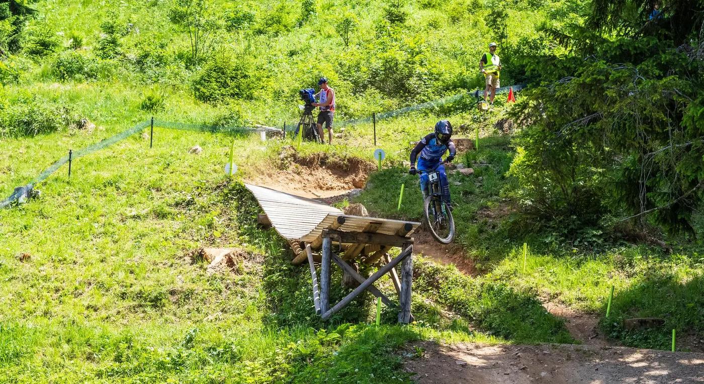
Mix of machine-built flow (berms, jumps) and natural/technical forest singletrack with wall-curves, northshore, drops and root/stone passages.
Steep wall-curves, jumps, northshore, drops and root/stone passages; black trails include a steep S-curve and jump series (Vertigo). Blue flow trails are rollable for beginners. Exposure moderate on the forested slopes. (est)
Signed, difficulty-graded bikepark trails from the cableway; Trailforks region map available. Low navigation burden within the park.
A well-known Graubuenden park that draws steady weekend traffic; generally quieter midweek. (est)
Season & conditions
2026 cableway summer operation approx 5 June to 25 October (daily), with Saturday evening operation mid-June to end of August.
Summer to mid-autumn; driest, most reliable conditions roughly July through September. (est)
Saturday evening cableway operation (continuous until approx 20:00) mid-June to end of August enables evening riding.
Alpine weather - afternoon thunderstorms, rain making rock/root sections slick, and possible cableway wind holds. (est)
Getting there & gear
Cableway ticket plus a small bike surcharge required; no lottery/permit system. Fares via churbergbahnen.ch.
Permits and operators change - confirm before booking.
Cableway valley station in central Chur (Kasernenstrasse 15), walkable from Chur rail/bus hub - unusually good public-transport access for a bikepark.
Chur-Kaenzeli-Brambruesch cableway provides uplift (approx 1000 m); bikes carried on the gondola (max 25 kg on the Kaenzeli-Brambruesch section); onward bike transport from 11:00. Small bike surcharge at the ticket counter.
Full-face and protection recommended for the black lines; food/water at valley and mountain stations; good mobile coverage given the city-adjacent location. (est)
Cableway stations with catering; city-of-Chur amenities at the base. Bike-specific wash/service facilities likely at the park but not confirmed in sources. (est)
Operated with Bergbahnen Chur-Dreibuendenstein AG / Sportanlagen Chur and the Alpenbikepark association; part of the Bike Kingdom Graubuenden ecosystem; city of Chur is the hub.
Hazards & rescue
Steep S-curves, jump series and technical rock/root sections on the black trails; rider-caused injury the main risk. Note: the Alpenbikepark's future has been tied to Chur votes on a new/replacement cableway - long-term operation may depend on that infrastructure decision.
None required; self-guided lift-served riding.
Cableway and mountain service roads allow exit/evacuation; Swiss rescue via 144 / Rega 1414. (est)
This profile is desk research, compiled from public sources - not a first-hand mountain-bike network report. Coordinates are approximate.