

Craigieburn Trails
Also known as: Craigieburn Forest Park MTB, Castle Hill trails
Dramatic Castle Hill Basin limestone country, beech forest, tussock tops and alpine viewpoints (e.g. Dracophyllum Flat); links Craigieburn Ski Area to Castle Hill Village.
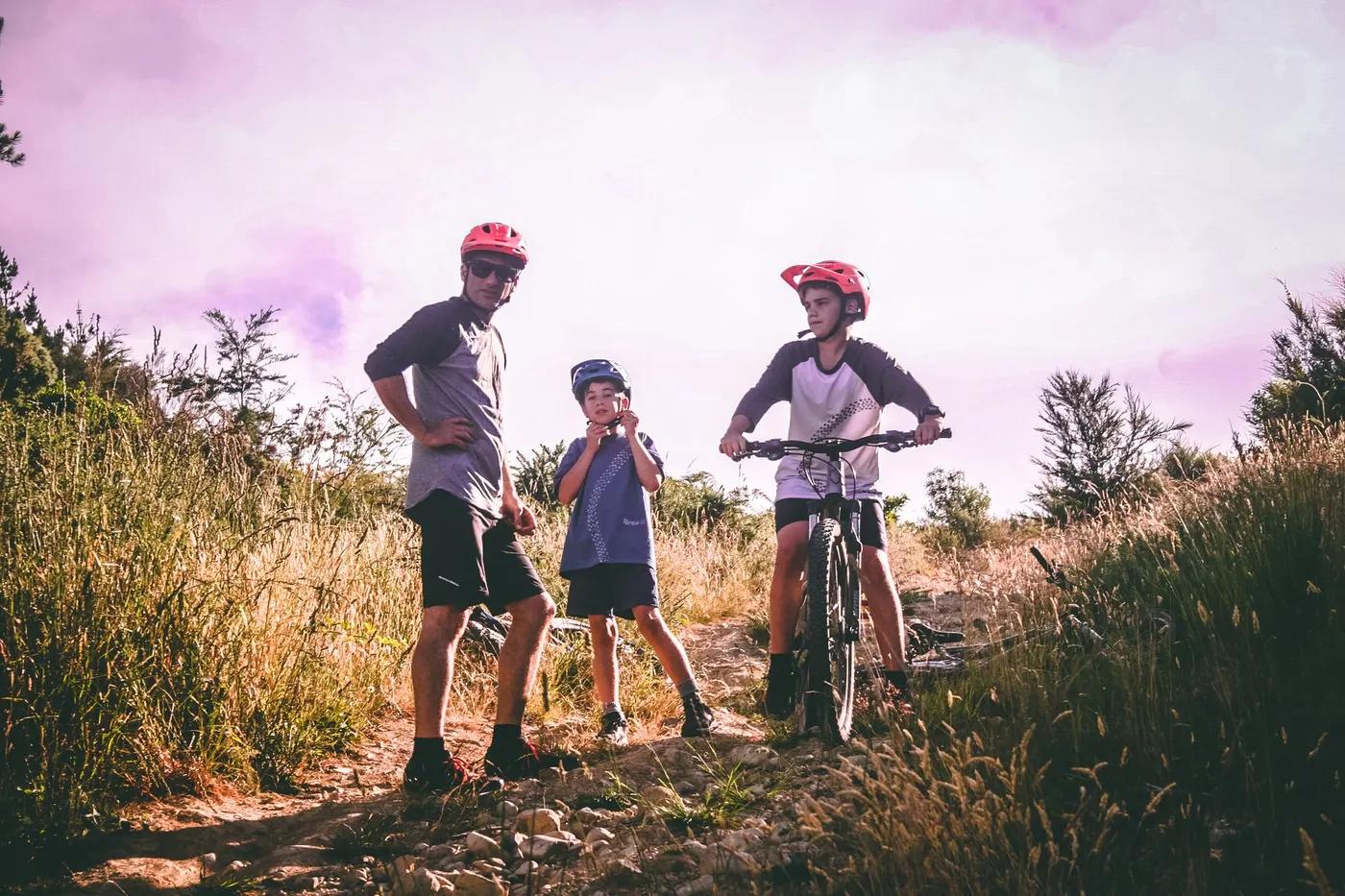
Who in your group rides what
Whether everyone in your group gets a day at Craigieburn Trails - the grades on offer, the named zones, and how mixed abilities split up.
Mostly NZ Grade 3-4 (intermediate to advanced); best suited to intermediate/advanced riders. Steepest sections (e.g. Lyndon Saddle ~13.6% avg).
Group split: less-experienced riders do shorter out-and-back sections (e.g. Dracophyllum Flat) or single descents from the ski-field road; strong riders link the full Hill-to-Hill Craigieburn Trail from Flock Hill to Castle Hill.
Best for fit intermediate-to-advanced riders comfortable in the backcountry; not a beginner network.
The riding
Alpine and beech-forest singletrack over rock, roots, tussock and scree with short ski-field road links.
Alpine singletrack with rocky, rooty and off-camber sidles, exposed tussock traverses and steep descents; genuine backcountry exposure.
DoC/community-signed dual-use tracks in Craigieburn Forest and Korowai/Torlesse parks; Trailforks and a map advised given remoteness.
Relatively quiet and remote compared with city networks; more solitude, busier on fine summer weekends.
Season & conditions
Approximately late spring to autumn; the ski-area elevation carries winter snow, so upper trails close/are unsafe in winter.
Summer and autumn (roughly Nov-Apr) when the alpine trails are snow-free and settled.
Alpine tussock and Dracophyllum in summer; the area doubles as a ski field in winter.
Rapid alpine weather changes, cold, wind and exposure above the bushline; snow lingers early/late season. Limited shelter.
Getting there & gear
Free access to the DoC/park trails; no permit for riding.
Permits and operators change - confirm before booking.
Off SH73 (Arthur's Pass corridor) at Castle Hill Village and Flock Hill; ski-field road (gravel, can be rough) gives high access.
Self-shuttle via the Craigieburn ski-field road for high starts; ~1.5h from Christchurch. No scheduled uplift.
Full-suspension MTB, spares, warm/wet layers and plenty of water; cell coverage patchy to nil in the backcountry - carry a PLB.
Basic; village services at Castle Hill, cafe/lodge options nearby. Minimal facilities on-trail.
Castle Hill Village, Flock Hill Lodge; Christchurch bike shops as the main hub; Ground Effect (local) supports trails.
Hazards & rescue
Alpine exposure, fast weather changes, steep loose descents, dual-use tracks and remoteness; check DoC/Craigieburn Trails for closures and conditions.
None required, but backcountry self-sufficiency advised; ride in a group and carry emergency kit.
Remote alpine terrain with limited coverage; exits to SH73 or ski-field road. Carry a PLB; dial 111 where possible.
This profile is desk research, compiled from public sources - not a first-hand mountain-bike network report. Coordinates are approximate.