

FRIM Kepong MTB Trails
Also known as: Forest Research Institute Malaysia, FRIM Loop, FRIM Kepong
Oldest large man-made tropical forest (UNESCO-noted), canopy walkway area, streams and tall planted forest stands.
Who in your group rides what
Whether everyone in your group gets a day at FRIM Kepong MTB Trails - the grades on offer, the named zones, and how mixed abilities split up.
Easy to hard per FRIM's own trail signage
Group split: novices stay on FRIM Loop / valley trails, stronger riders add Bukit Steroid or Puncak Pinus climbs.
Good for beginners, families and mixed-ability groups; easy urban access from KL.
The riding
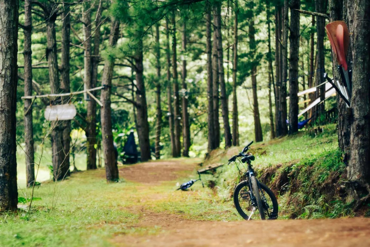
Dirt singletrack, forestry gravel road, roots, some rock; lush dipterocarp forest floor.
Mostly low technicality; roots, some rocky and steeper singletrack on Bukit Steroid / Tongkat Ali sections. Low exposure.
Marked, FRIM-approved trails limited to Bukit Bujang, Simpang K, Perah Campsite, Tongkat Ali/Bukit Steroid and Puncak Pinus.
Busy on weekends with joggers, hikers and cyclists; quieter weekday mornings.
Season & conditions
Year-round, snow-free (tropical)
Year-round; drier and firmer roughly Feb-Sep
Afternoon thunderstorms; trails slick and leech-prone when wet; flash runoff on lower forest paths.
Getting there & gear
Modest park entrance/vehicle fee; own bike allowed. Confirm current rates at gate.
Permits and operators change - confirm before booking.
Drive-in from Kepong; open daily approx 6am-7pm for jogging, cycling and MTB.
Self-drive or e-hailing from KL; no dedicated shuttle.
Bring water; carry basics/tools. Mobile coverage generally available near entrance, patchy deeper in forest.
Visitor parking, toilets, cafes/warung, canopy walkway and info centre near entrance.
KL bike shops and community MTB groups; FRIM visitor services.
Hazards & rescue
Slippery roots/rocks when wet, leeches, sharing trails with pedestrians; stay only on FRIM-approved MTB trails.
Not required; self-guided on marked trails.
Trails loop back to main forest road network and staffed entrance; road access for evacuation.
This profile is desk research, compiled from public sources - not a first-hand mountain-bike network report. Coordinates are approximate.