

Val d'Isere
Also known as: Espace Killy
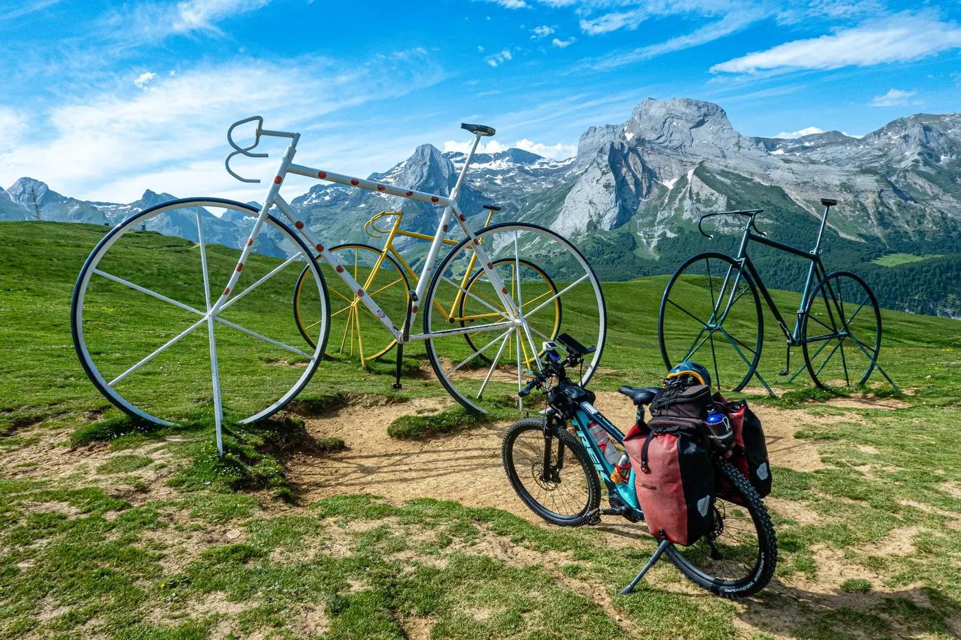
High-alpine panoramas around Bellevarde, Solaise and the Tignes basin; glacier views.
Who in your group rides what
Whether everyone in your group gets a day at Val d'Isere - the grades on offer, the named zones, and how mixed abilities split up.
Green, Blue, Red, Black (French bike park scale)
Group split: beginners lap green/blue near lift tops; advanced take red/black DH and enduro; all uplift by lift so groups reconverge at lift bases.
Beginner to advanced; DH, XC, enduro and E-MTB plus Fauteuil Tout Terrain (FTT) accessibility; suits mixed-ability groups.
The riding
Machine-built flow, natural rock, alpine singletrack, scree sections on upper mountain.
Full spectrum from flowy green lines to technical DH and rocky alpine enduro; upper trails exposed high-alpine terrain.
Colour-graded, signposted pistes; trails geolocated in the Val d'Isere Ski app with GPS routes and on Trailforks.
Busy in peak summer at lift bases; upper enduro links quieter.
Season & conditions
Approx 4 July to 30 August 2026 (resort summer lift dates).
Summer (July to late August).
Linked pass with Tignes; E-MTB-specific enduro trails; multi-activity Val Pass.
High-alpine afternoon thunderstorms, rapid temperature drops, exposure above treeline.
Getting there & gear
Summer MTB lift pass required; day and multi-day passes sold by resort. No lottery.
Permits and operators change - confirm before booking.
Val d'Isere village; Olympique cable car and other summer lifts depart from resort.
Lift-served uplift (Olympique, Borsat, Toviere, Tufs, Fresse, Palafour); bus links to Bourg-Saint-Maurice/rail.
Full-face helmet and protection recommended for DH; carry water; mobile coverage good in village, patchy on high mountain.
Bike shops, rentals, repair, mountain restaurants, medical services in village.
Val d'Isere/Tignes MTB schools and bike shops; hub with Tignes.
Hazards & rescue
Speed on flow trails, rock/exposure on upper enduro, weather changes; helmet compulsory.
None required; guiding/coaching available via local schools.
Lift stations and pisteurs; mountain rescue via 112.
This profile is desk research, compiled from public sources - not a first-hand mountain-bike network report. Coordinates are approximate.