

Sunshine Coast (Parklands)
Also known as: Parkies, Nambour Parklands
Dense native forest adjacent to Parklands Conservation Park rainforest; future Olympic venue.
Who in your group rides what
Whether everyone in your group gets a day at Sunshine Coast (Parklands) - the grades on offer, the named zones, and how mixed abilities split up.
Green (family loop) through blue and black; majority intermediate-to-advanced.
Group split: beginners ride the ~5 km IMBA green loop from Radar Hill car park; advanced riders take the newer black run and longer intermediate loops, regrouping at the car park.
A few good beginner options plus strong intermediate/advanced network; suits mixed groups. Future Olympic-standard XCO facility planned.
The riding
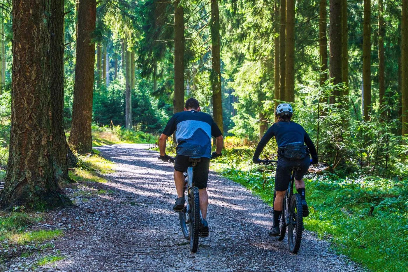
Dense forest singletrack over dirt, clay and rock; rockier terrain on the Atkinson Rd side.
Twisty forest singletrack with rocky and rooty sections; Atkinson Rd side is drier and rockier. Low-to-moderate exposure.
Trailhead information board and signed junctions; Trailforks app recommended, especially for first visits.
Popular Sunshine Coast network; busier weekends, moderate midweek.
Season & conditions
Open year-round; no snow (subtropical hinterland).
Year-round; ride-log data shows September (spring) as peak. Autumn-spring most comfortable.
Slated to become the Sunshine Coast Mountain Bike Centre and the mountain bike venue for the Brisbane 2032 Olympics (new XCO trail and facilities planned, target completion ~2029).
Summer heat, humidity and thunderstorms; trails slick and may close after heavy rain.
Getting there & gear
Free; no permit required (QPWS/club-managed).
Permits and operators change - confirm before booking.
Main trailhead at Radar Hill Rd, Kulangoor (small car park plus street parking); secondary Atkinson Rd entry. Take Parklands exit off Bruce Highway ~4 km north of Nambour.
No formal uplift; pedal-access network. Self-drive to trailhead.
Carry water (limited on-trail supply); mobile coverage generally reasonable. Standard trail spares.
Car park and trailhead information board at Radar Hill Rd; expanded facilities (hub, bike hire, cafe, amenities) planned with the Olympic centre. Cafes/shops in Nambour.
Bushrangers MTB Club (trail stewards); ecoTekkSC (e-MTB tours); Nambour bike shops.
Hazards & rescue
Snakes in warm months, heat/humidity, slick trails when wet, shared-use in places; ongoing works/changes expected as the Olympic venue is developed.
None required; self-guided. e-MTB tours available via local operator.
Fire roads and forest-road exits to Radar Hill/Atkinson Rd; close to Nambour and Sunshine Coast emergency services. Call 000.
This profile is desk research, compiled from public sources - not a first-hand mountain-bike network report. Coordinates are approximate.