

Lysterfield Park
Also known as: Lyso
Lysterfield Lake and forested hills; bushland close to Melbourne.
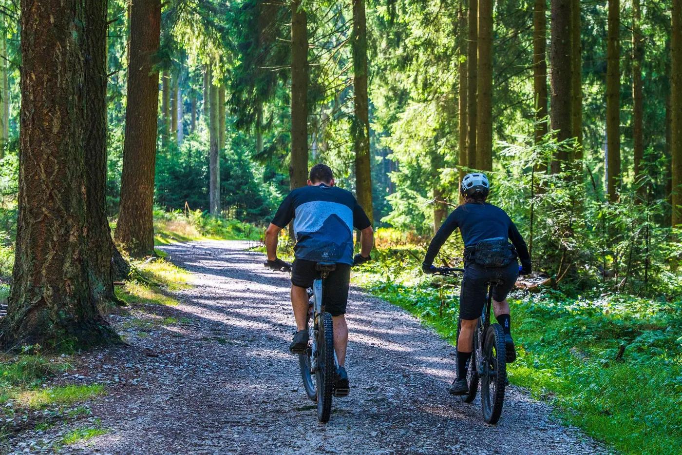
Who in your group rides what
Whether everyone in your group gets a day at Lysterfield Park - the grades on offer, the named zones, and how mixed abilities split up.
Green/blue XC through to the technical black State (Commonwealth Games) Course; broad range for all skill levels.
Beginners: gentler green/blue loops around the reservoir. Advanced: the 6.3 km State Mountain Bike Course (2006 Commonwealth Games XC track). No lift/shuttle; groups split by loop choice and difficulty.
Family and beginner friendly with progression to the race course; close to SE Melbourne, easy for groups.
The riding
Purpose-built XC singletrack, rock sections, bermed descents and boardwalks through dry eucalypt bushland around Lysterfield Lake.
Tight singletrack with technical rocky sections, high-speed bermed descents, timber boardwalks and steep climbs on the race course; low exposure.
Signposted Parks Victoria network with trailhead maps; Trailforks coverage. Supported by Lysterfield District Trail Riders.
Very popular SE Melbourne trails, busy on weekends; quieter midweek.
Season & conditions
Year-round (no snow); park day-use hours apply. Wet-weather closures possible.
Year-round; autumn and spring ideal, drier trails in summer.
Historic 2006 Melbourne Commonwealth Games XC venue; hosts club and state XC events.
Hot summer days and fire danger; muddy/slick trails and possible closures after heavy rain.
Getting there & gear
Free to ride; no permits or lottery. Parks Victoria managed, day-use hours apply.
Permits and operators change - confirm before booking.
Off Horswood Rd, Narre Warren North/Lysterfield, approx 45 minutes SE of Melbourne CBD; sealed access and car park.
No lift or shuttle; pedal-access loops. Nearest hire/services in surrounding suburbs.
Carry water and tools; standard trail gear. Mobile coverage generally good.
Car park, toilets and picnic areas; shared with walkers and the lake day-use precinct. No on-site bike shop.
SE Melbourne suburban bike shops; Lysterfield District Trail Riders (LDTR) club; Parks Victoria manages the park.
Hazards & rescue
Shared-use with many walkers and swimmers near the lake; watch kangaroos; day-use gate hours apply.
None required; self-guided.
Loop network close to roads and car park; emergency services from nearby suburbs. Dial 000.
This profile is desk research, compiled from public sources - not a first-hand mountain-bike network report. Coordinates are approximate.