

Kiwarrak MTB Park
Also known as: Kiwarrak State Forest
Manning Valley / Barrington Coast forest, ridgelines and gullies south of Taree.
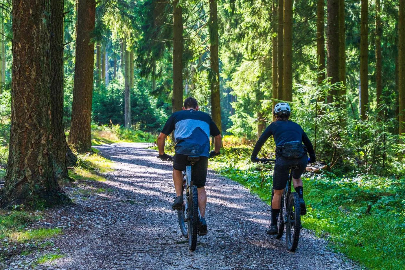
Who in your group rides what
Whether everyone in your group gets a day at Kiwarrak MTB Park - the grades on offer, the named zones, and how mixed abilities split up.
Beginner and adaptive through intermediate to advanced gravity-fed trails
Beginners and adaptive riders use the 2.7 km adaptive and beginner loops from the carpark; advanced riders climb then ride gravity descent trails.
Strong: one of Australia's longest single-track adaptive trails (2.7 km) for wheelchairs and adaptive cycles; family-friendly and mixed-ability friendly.
The riding
Hand-cut state-forest singletrack over clay and gravel through eucalypt forest.
Mostly flowing hand-cut singletrack with 100+ rebuilt structures; advanced gravity trails add technical descents. 2.7 km adaptive trail is very gentle.
New signage installed in 2024 redevelopment; dense intersecting web mapped on Trailforks. Non-directional design means constant junction choices.
Moderate; busier weekends, generally quiet given the large network.
Season & conditions
Open all year; no snow. May close after heavy rain.
Year-round; August is the most popular ride month per Trailforks logs.
Reopened 6 June 2024 after a AUD ~543,095 post-Black-Summer rebuild; hosts club and Tip Riders events.
Wet-season rain and past bushfire recovery; heat and humidity in summer.
Getting there & gear
Free to ride; managed by Manning-Great Lakes Tip Riders with NSW Government and Forestry Corporation of NSW.
Permits and operators change - confirm before booking.
Upgraded car park in Kiwarrak State Forest near Tinonee, just south of Taree off the Pacific/Manning River area.
No formal commercial shuttle; primarily pedal-access with climb and descent trails.
Carry water; wash station on site. Mobile coverage variable in forest.
Upgraded car park, toilets, change rooms, covered barbecue area and bike wash station.
Manning-Great Lakes Tip Riders club; Taree bike shops; Barrington Coast tourism hub.
Hazards & rescue
Non-directional trails mean watch for oncoming riders; loose surfaces and post-fire debris in places.
None; self-guided.
Forest and management roads provide exits; call 000, expect patchy signal.
This profile is desk research, compiled from public sources - not a first-hand mountain-bike network report. Coordinates are approximate.