

Glenrock
Also known as: Glenrock SCA
Ocean views, Burwood Beach, Leichhardt's lookout and waterfalls within Glenrock SCA, 5 km from Newcastle.
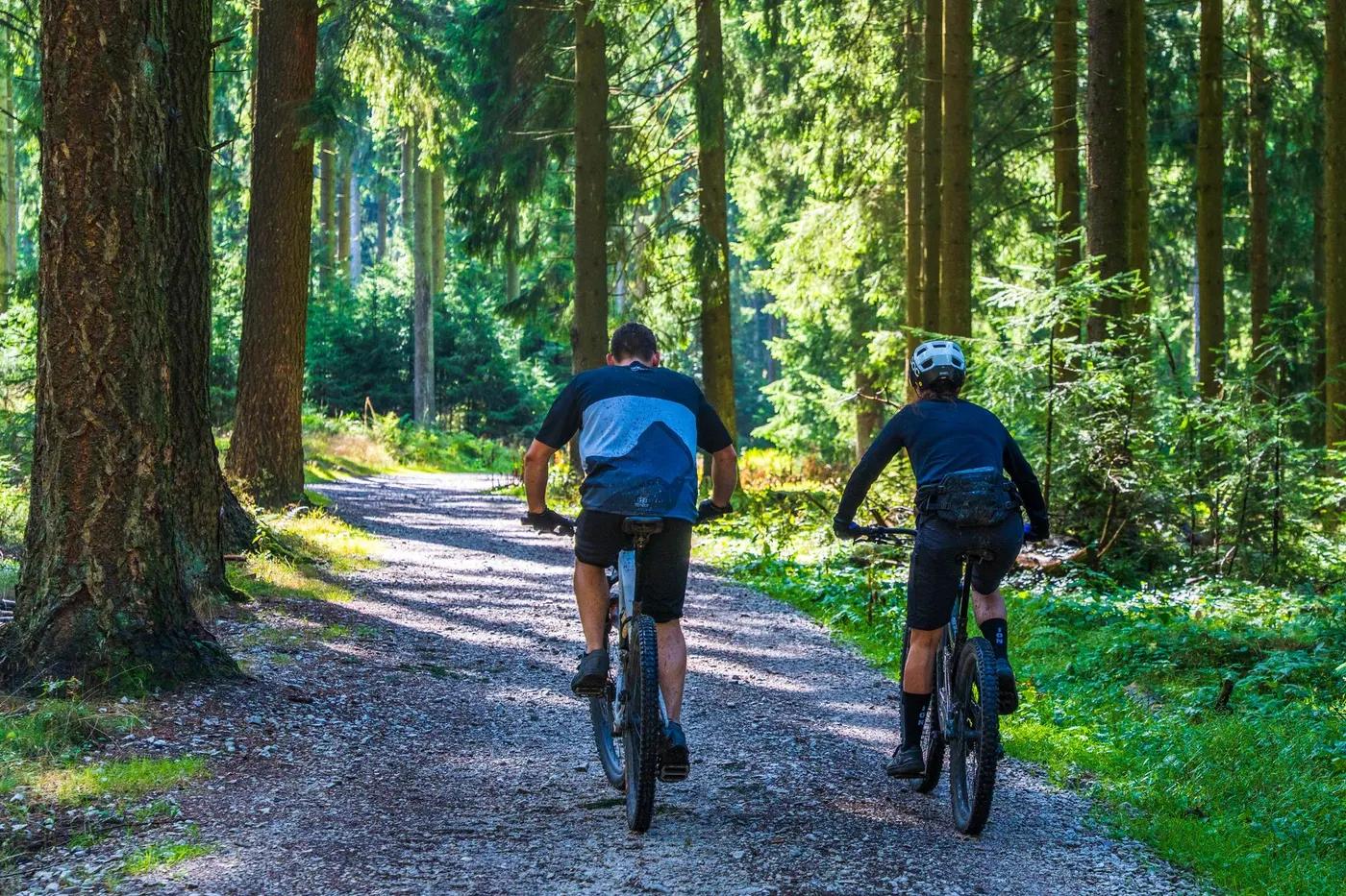
Who in your group rides what
Whether everyone in your group gets a day at Glenrock - the grades on offer, the named zones, and how mixed abilities split up.
Green (beginner), Blue (intermediate), Black (advanced)
Beginners stick to green management trails and the Yuelarbah descent; advanced riders link black singletrack for longer technical loops.
Broad grade range suits mixed groups and families; some accessible parking at Yuelarbah carpark.
The riding
Open forest and woodland singletrack over sandy and rocky soils, some fire trail.
Mostly flowing coastal singletrack with some rocky and rooty technical black sections; limited exposure.
Signposted and colour-graded; well documented on Trailforks and AllTrails. Some trails shared with walkers.
Popular with Newcastle locals, busy weekends; quieter midweek.
Season & conditions
Open all year; no snow. Trails may close after heavy rain.
Year-round coastal riding; autumn to spring most comfortable.
Occasional Rocky Trail Entertainment and club events; coastal lookouts and waterfalls.
Coastal rain makes clay and rock slippery; summer heat and exposed sections.
Getting there & gear
Free entry to Glenrock State Conservation Area; managed by NSW National Parks (NPWS).
Permits and operators change - confirm before booking.
Sealed Yuelarbah carpark off Burwood Road, Kahibah (search 'Yuelarbah Trail car park'); second access at Gun Club Road, Highfields.
No dedicated shuttle; pedal-access network. Close to Newcastle public transport.
Carry water; no facilities at Yuelarbah trailhead. Generally good mobile coverage near the coast.
Sealed carpark with accessible bays; no toilets at Yuelarbah entrance - toilet stop before arrival advised.
Hunter Mountain Bike Association; Newcastle bike shops and Rocky Trail Entertainment events.
Hazards & rescue
Shared-use trails with walkers; stick to signposted routes and watch for pedestrians.
None; self-guided.
Management trails link to Burwood Road and suburban edges; call 000, generally reasonable signal.
This profile is desk research, compiled from public sources - not a first-hand mountain-bike network report. Coordinates are approximate.