

Forrest MTB Trails
Tall Otway eucalypt forest, fern gullies and nearby Lake Elizabeth; classic XC destination.
Who in your group rides what
Whether everyone in your group gets a day at Forrest MTB Trails - the grades on offer, the named zones, and how mixed abilities split up.
Green through blue to black; strong beginner/intermediate XC and flow bias with some difficult and adaptive-friendly trails.
Beginners: easy green loops from Forrest/Yaugher trailheads (e.g. short Forrest Loop). Advanced: longer XC circuits and black flow in the southern network. No lift; groups split by loop length and difficulty rather than shuttle.
Family and marathon-XC friendly; includes trails suitable for adaptive mountain bikes; two trailheads accessible by bike from town.
The riding
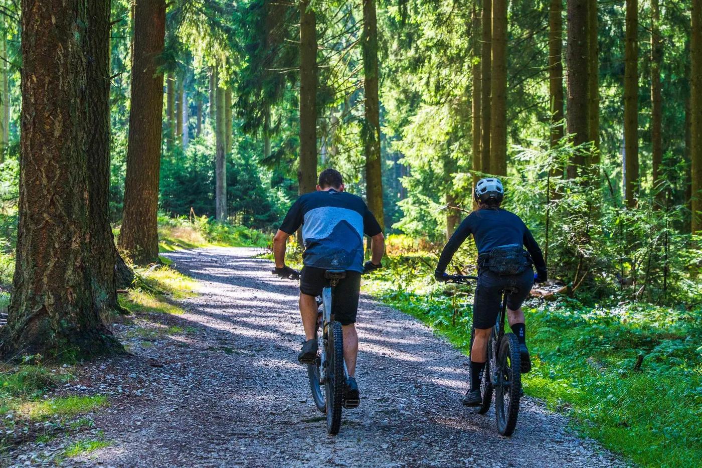
Purpose-built singletrack through tall eucalypt forest, wet gullies (south) and lowland forest/woodland (north).
Mostly flowy, forgiving XC and flow singletrack with some technical black options; low exposure, sheltered forest.
Waymarked signposted network from town trailheads with maps; Trailforks coverage and status updates.
Popular on weekends and events; generally easy to find quiet trails midweek.
Season & conditions
Year-round (no snow); best on dry days, some trails hold moisture in winter.
Autumn and spring ideal; ridable year-round though wetter/muddier in winter.
Major government-funded upgrade and expansion delivered in 2023; hosts XC and marathon events (e.g. Otway Odyssey historically).
Cool wet Otways climate; mud and slick roots after rain; summer fire-danger closures.
Getting there & gear
Free to ride; no permits or lottery.
Permits and operators change - confirm before booking.
Forrest is off the Princes Highway near Colac / Great Ocean Road hinterland, approx 2 hrs from Melbourne; sealed access and town parking.
No lift or dedicated shuttle; loop-based pedal network. Bike hire available in town.
Carry water and tools; standard trail gear. Mobile coverage patchy in gullies.
Forrest Brewing Company (food and beer in old station), guesthouse, cafe, toilets and bike hire in town.
Forrest township hub; Forrest Mountain Bike & Cycling Club; local bike hire and Forrest Brewing Company.
Hazards & rescue
Slippery when wet; watch for wildlife and shared trail users. Two separate networks north and south of town.
None required; self-guided.
Loop network close to town/roads; emergency services from Colac/Forrest. Dial 000.
This profile is desk research, compiled from public sources - not a first-hand mountain-bike network report. Coordinates are approximate.