

Kopru River (Koprulu Canyon)
Also known as: Kopru Cayi, Koprucay, Koprulu Canyon
100 m deep canyon, Roman Oluk Bridge, pine forest, national park (est 1973), endemic flora
Is there water?
Whether there is a river here on your dates, and what kind of water it is.
Spring-fed (Kembos springs) plus snowmelt; stable dam-free flow, cool and clear
Year-round runnable but commercial season April-October
April to October; peak May to September
Cold spring-fed water approx 10-16 C despite warm air; wetsuits provided (Confirm.)
Low flood risk; hot Mediterranean summers; occasional spring high water
Grade & who can come
A river changes grade with its level. These grades describe a normal flow - in flood the same run is harder, and often a different run entirely. Check the gauge before you commit.
Class I-III (International)
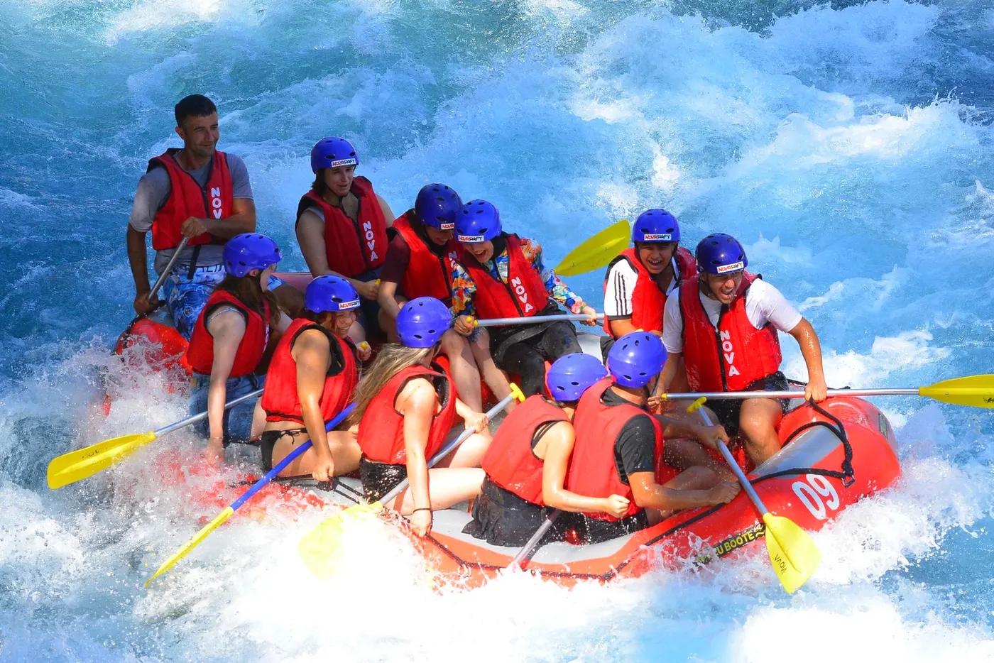
Rafting (commercial)
Rafts of 6-8; families and mixed-ability split across boats; kayak option available
Very accessible; suits beginners, children (min age approx 7), large groups and corporate parties
The run
Read-and-run wave trains and small ledges; no significant drops
None significant; cold-water shock, sun exposure, crowded boat traffic
Oluk Bridge to Karabuk Bridge
High; one of Turkey busiest rafting rivers, many operators, summer congestion
Access & shuttle
Governorship permit required; commercial rafting only on the licensed Oluk-Karabuk course; national park entry (Confirm.)
Permits and operators change - confirm before booking.
Oluk Bridge put-in near Beskonak; riverside camps; 1.5-2 hr drive from Antalya
Operator minibus transfers from Antalya, Belek, Side, Alanya, Manavgat; short shuttle along canyon road
Riverside restaurant-camps and pensions at Beskonak; day trip, no overnight required
Operator provides raft, PFD, helmet, wetsuit; mobile coverage patchy in canyon
Antalya, Belek, Side, Manavgat, Alanya hubs; dozens of operators
Hazards & exits
Cold water, sunburn, boat congestion; family-grade so low technical risk
Road parallels river; guides carry throw lines; hospitals in Manavgat/Antalya
Commercial licensed guides; no self-support needed
This profile is desk research, compiled from public sources - not a first-hand river run report. Coordinates are approximate.