

Mae Klong River (Umphang)
Also known as: Umphang rafting, Thi Lo Su approach
Thi Lo Su waterfall (~400 m wide, ~200 m multi-level), Umphang Wildlife Sanctuary, limestone jungle gorge, hot springs
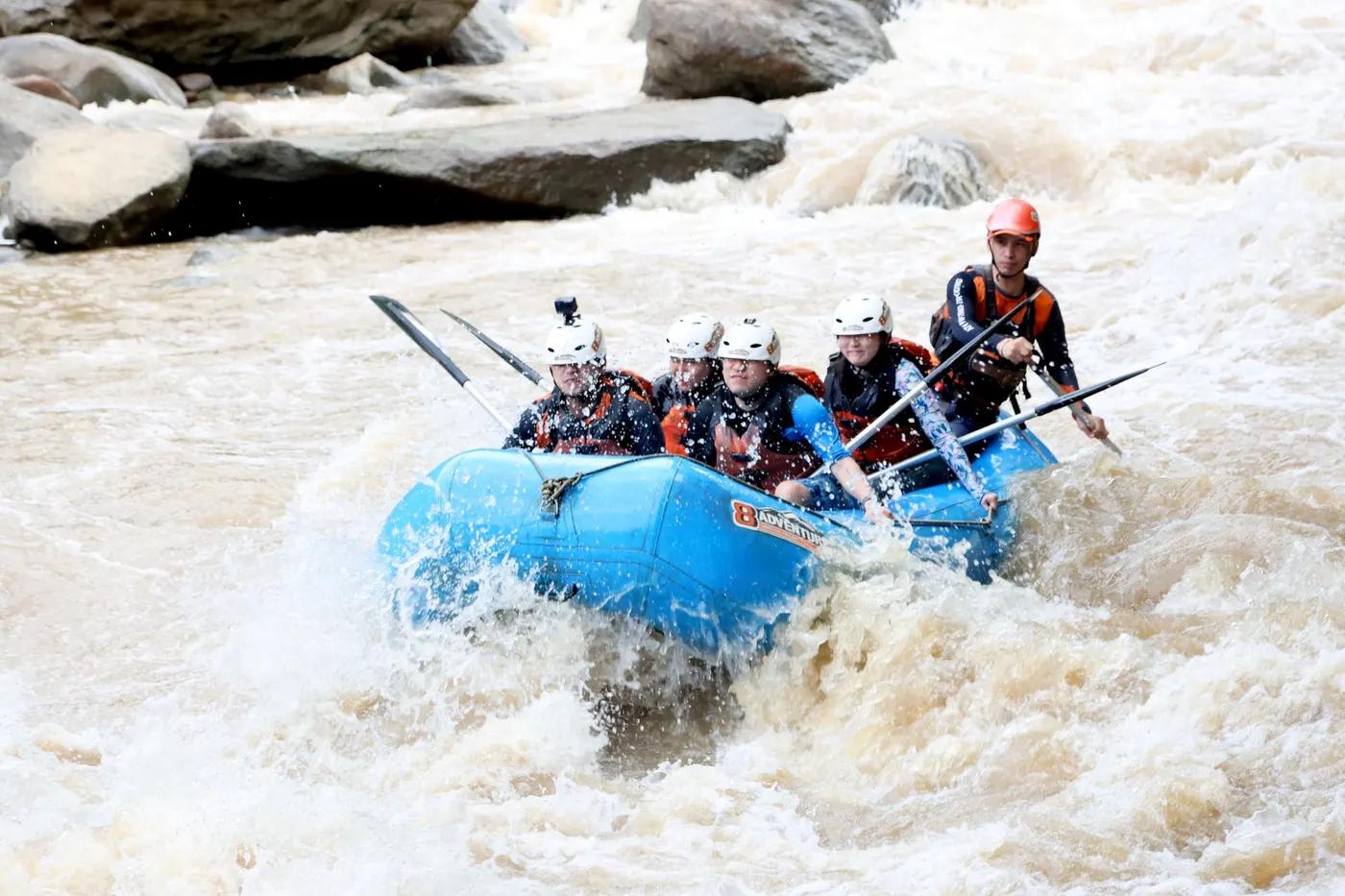
Is there water?
Whether there is a river here on your dates, and what kind of water it is.
Monsoon-fed; higher/faster after rains, lower in dry season
November-May dry season; rafting depends on water level
November-February (cool dry; waterfall best Nov-Dec)
Warm tropical; hot-spring bathing stop en route
Rainy season (roughly Jun-Oct) flooding and difficult road access; dry season ideal
Grade & who can come
A river changes grade with its level. These grades describe a normal flow - in flood the same run is harder, and often a different run entirely. Check the gauge before you commit.
Grade I-II (bamboo or inflatable depending on water level)
Rafting (inflatable/bamboo) plus jungle trekking
Raft groups plus trekking; 3-day or 5-day itineraries
Moderate fitness for jungle trekking; family/small-group friendly raft legs
The run
Gentle rapids; low water may limit bamboo rafting; jungle-trek heat is the main effort
Low-water bamboo-raft limits; jungle trek hazards
Tha Sai to Thi Lo Su approach; exit Mae La Moong junction
Remote, low crowds; sanctuary access controlled
Access & shuttle
Umphang Wildlife Sanctuary entry / park fees (usually included in tours); enquire TAT Tak office; Confirm current fees
Permits and operators change - confirm before booking.
Raft from Tha Sai (Umphang district); trek to Thi Lo Su; exit Mae La Moong by pickup
Songthaew Mae Sot-Umphang (~4 hr); pickup transfers to trailheads
Thi Lo Su camping ground; Kota Karen village homestay; Mae La Moong
Camping equipment provided by operator; limited or no connectivity in sanctuary
Umphang town; Mae Sot
Hazards & exits
Rainy-season flooding, jungle-trek heat and terrain, remoteness
Remote sanctuary; ranger stations (e.g. Huai Nong Luang); Confirm rescue
Licensed local guide required for sanctuary raft/trek; mahout for elephants
This profile is desk research, compiled from public sources - not a first-hand river run report. Coordinates are approximate.