

Khek River
Also known as: Kaeng Song, Nam Khek, Wang Thong River
Thung Salaeng Luang NP forest, Namtok Kaeng Sopha and Namtok Sri Dit waterfalls, Kaeng Song area
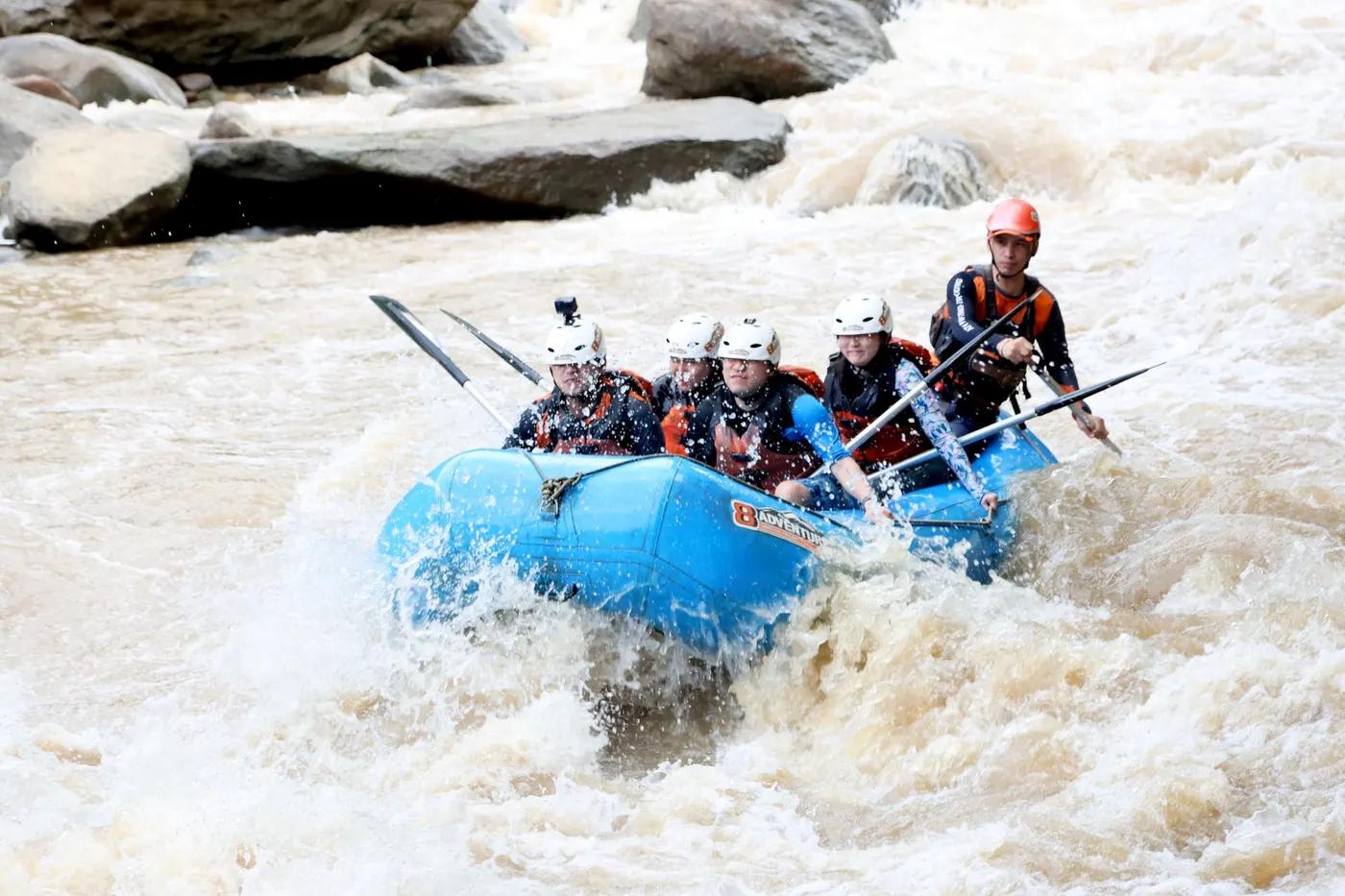
Is there water?
Whether there is a river here on your dates, and what kind of water it is.
Monsoon-only; brown high water in rains, clear-green and too low to raft in dry season
Jul to first/second week of Oct
Jul-early Oct (peak monsoon flow)
Warm tropical
Monsoon rain spikes; waves to ~1 m when level rising; water can drop suddenly over ledges
Grade & who can come
A river changes grade with its level. These grades describe a normal flow - in flood the same run is harder, and often a different run entirely. Check the gauge before you commit.
Thai/intl Level I-V; Kaeng Sang 4-5; Kaeng Sai L3; Kaeng Pak Yang L2-3
Whitewater rafting
Single continuous ~8 km run; lower rapids (Kaeng Dong Sak, Kaeng Wang Nam Yen, Levels 2-3) toward finish; not readily split
Popular guided day trip; rescue teams stationed at risky rapids; advanced skill needed at Kaeng Sang/Kaeng Yao
The run
Kaeng Sang (wide stepped rocky rapid Level 4-5); Kaeng Hin Lat strong torrents; Kaeng Suan Ratchamangkhala ~1 m waves; Kaeng Sopha Ram (S-shape); Kaeng Nang Khoi; Kaeng Yao submerged boulders
Submerged boulders and ledges (Kaeng Yao), strong torrents (Kaeng Hin Lat), flip risk at Kaeng Sang
Kaeng Song stretch, Kaeng Tha Kham to Kaeng Thap Khun Tai (~8 km, 18 rapids)
Popular local run; Khek River Rafting Festival since 2005; busier weekends in season
Access & shuttle
Thung Salaeng Luang NP / operator fees; day-trip rates via The Rain Forest Resort and Pop Tour. Confirm.
Permits and operators change - confirm before booking.
Phitsanulok town Highway 12 toward Lom Sak ~44 km to Kaeng Song rafting centres; GPS N16 52.01 E100 37.89
Operator vehicle shuttle along Highway 12; rafting centres cluster at Kaeng Song
Day run - no river camps; accommodation at Kaeng Song resorts
Operator raft, PFD, helmet provided; roadside access, generally reachable
The Rain Forest Resort (+66 5529 3085); Pop Tour (+66 5524 2060); hub Phitsanulok / Kaeng Song. Confirm.
Hazards & exits
Kaeng Sang Level 4-5 flip risk; run only with adequate monsoon flow
Roadside river near Highway 12; rescue teams on standby at hazardous rapids
Guided raft with guide/steersman; rescue teams at risky rapids
This profile is desk research, compiled from public sources - not a first-hand river run report. Coordinates are approximate.