

Xiuguluan River
Also known as: Hsiukuluan River, Xiuguluan Xi
East Rift Valley scenery, Coastal Mountain Range gorge, Qimei suspension bridge, river breaks through to the Pacific at Dagangkou
Is there water?
Whether there is a river here on your dates, and what kind of water it is.
Rain and typhoon fed; higher flows in summer wet season
Year-round operation, best flows May-October
April-October (peak); high-water season May-October
Warm subtropical water; wetsuit not typically required (est)
Typhoon season roughly Jun-Oct with flash-flood risk; trips suspended in high water. Confirm.
Grade & who can come
A river changes grade with its level. These grades describe a normal flow - in flood the same run is harder, and often a different run entirely. Check the gauge before you commit.
Class II-III (Grade II-III)
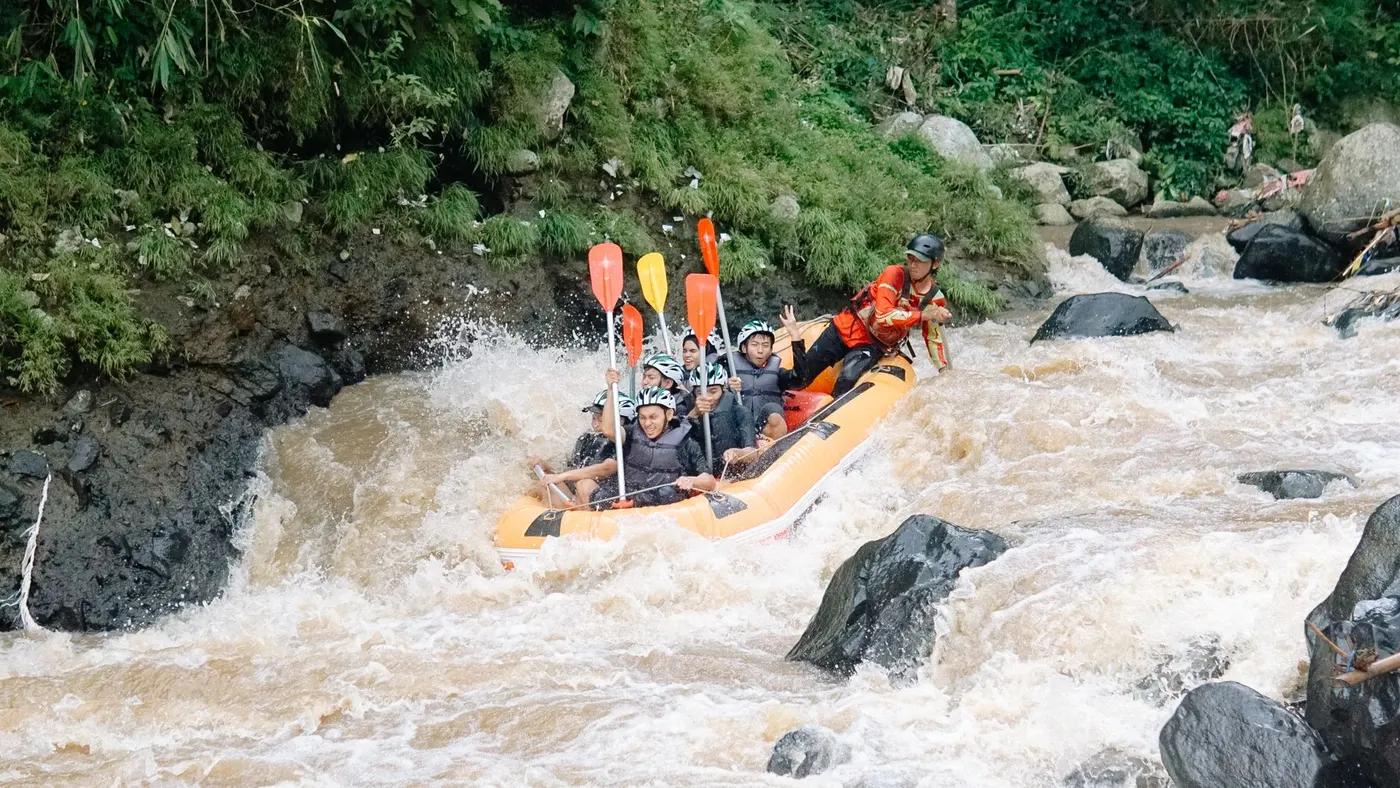
Rafting (paddle raft, 6-8 person)
Standard 6-8 person paddle rafts; large commercial fleets, scalable group sizes
Beginner-friendly guided commercial trip; families and groups; minimum age and health limits apply. Confirm.
The run
Qimei rapids; faster flows, standing waves and eddies in the lower half after the Qimei rest stop
Rock gardens, standing waves, eddies; no major portage on the commercial run
Ruisui Bridge to Changhong Bridge (via Qimei)
Busy - the island flagship commercial raft; crowded on summer weekends
Access & shuttle
Commercial fee about NT$750 per person incl gear, lunch, insurance; managed within the scenic area. Confirm.
Permits and operators change - confirm before booking.
Xiuguluan River Visitor Center at Ruisui Bridge (put-in); Changhong Bridge / Dagangkou (take-out)
Operator shuttle return from the estuary; ~90 min drive from Hualien City
Qimei mid-river rest stop (sandy beach); no camping on the run
Raft, paddle, helmet and PFD provided; limited mobile signal in the gorge (est)
Ruisui, Hualien City, Qimei
Hazards & exits
Typhoon flooding, sunburn and dehydration; avoid after heavy rain
Riverside road access near parts of the run; operator safety kayakers for rescue. Confirm.
Licensed operators with guides and safety kayakers; helmet and life jacket provided
This profile is desk research, compiled from public sources - not a first-hand river run report. Coordinates are approximate.