

Mahaweli River
Also known as: Mahaweli Ganga
Tea plantations, forested hills, cascades of the Central Highlands between Kandy and hill country; nearby Kandy (Temple of the Tooth), Peradeniya Botanical Gardens
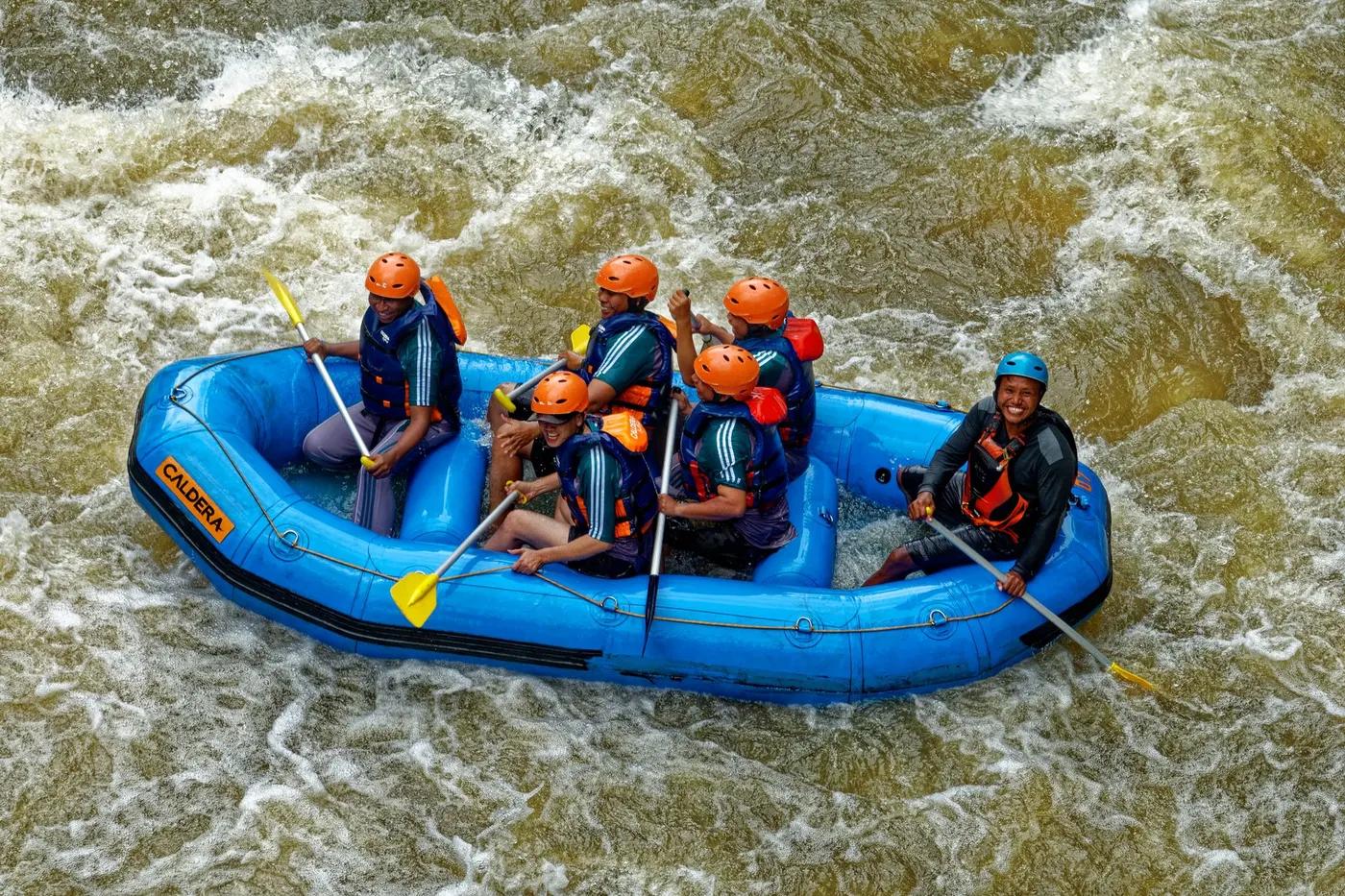
Is there water?
Whether there is a river here on your dates, and what kind of water it is.
Highland, monsoon-fed and dam-regulated - upper basin engineered with Kotmale Dam upstream and Polgolla Barrage below Gampola; flow rain- and release-dependent. Confirm.
Roughly May-Nov higher-water window; avoid heavy-rain days. Confirm.
Higher water gives better rapids, roughly May-Nov monsoon-influenced window; Central Highlands catch SW (May-Sep) and inter-monsoon rain; avoid peak flood days. Confirm.
Cooler highland water (elevation ~450-700 m) than lowland Kitulgala; no specific temp published (est)
Flash-flood/high-water risk during heavy highland rain; operators suspend trips on heavy-rain days; landslide-prone hill terrain
Grade & who can come
A river changes grade with its level. These grades describe a normal flow - in flood the same run is harder, and often a different run entirely. Check the gauge before you commit.
Stated Grade 2 to Grade 5 (operator, promotional); realistically Class II-III at normal flow, III-IV+ at high water; no named rapids published. Confirm.
Rafting; Kayaking
Marketed for groups of 10+ experienced rafters; smaller/private splits not documented
Positioned for experienced rafters, not the family-friendly product
The run
Steeper, faster highland gradient than Kitulgala; not runnable on heavy-rain days due to excessive speed/volume
Upper Mahaweli corridor has multiple barrages/dams (Kotmale, Polgolla) - run must take out above such structures; low weirs and irrigation diversions
Ulapane to Gampola (Upper Mahaweli near Nawalapitiya)
Far less commercialized than Kitulgala - low-traffic, more solitude but fewer operators/safety infrastructure
Access & shuttle
No specific permit/fee documented for the day rafting run; confirm with operator. Confirm.
Permits and operators change - confirm before booking.
Roadside access along the Gampola-Nawalapitiya road corridor (river parallels road/rail); Ulapane ~28 km from Kandy, ~130 km from Colombo
Kandy the logical hub (~28 km / ~1 hr); operators include hotel pick-up/drop; Kandy-Nawalapitiya rail serves the corridor
None for the day run; nearby boutique/eco lodges and tea-estate stays around Kandy/Gampola
Operators supply safety gear and bottled water; quick-dry clothing and secure footwear advised; coverage reasonable in this populated hill corridor (est)
Kandy (primary hub ~28 km); Gampola/Nawalapitiya local
Hazards & exits
Dam-controlled and rain-controlled flows can change quickly; do not run on heavy-rain days; grade rises sharply with volume; fewer commercial safety resources than Kitulgala
River runs alongside road/rail for much of the corridor giving frequent road egress; formal rescue infrastructure less developed than Kitulgala
Guided only - trained instructor, helmets, life jackets, paddles provided, safety briefing
This profile is desk research, compiled from public sources - not a first-hand river run report. Coordinates are approximate.