

Motu River
Also known as: The Motu, Motu Awa
One of NZ's last truly wild rivers - 100 km through Raukumara Range, deep gorges of virgin native forest, steep bedrock walls; last area of NZ to be mapped; spectacular waterfalls below Otipi
Is there water?
Whether there is a river here on your dates, and what kind of water it is.
Rain-fed, unregulated wild river; take-out gauge >15 needed; floods rise fast and make camping/portaging impossible
Flow-dependent; take-out bridge gauge should be above 15 for the whole trip, ~25 makes gorges boisterous; avoid rising rivers/floods
Summer (Dec-Mar) for lower Class III flows; winter brings Class IV
Cool bush-fed river; wetsuit/drysuit for immersion
Do not enter gorges in rain or on a rising river - long gorges with virtually no camping when in flood; afternoon sea-breeze headwinds on lower river; carry InReach and monitor forecasts
Grade & who can come
A river changes grade with its level. These grades describe a normal flow - in flood the same run is harder, and often a different run entirely. Check the gauge before you commit.
Grade III+/IV (Class III low summer flows, Class IV winter, Class V high flow)
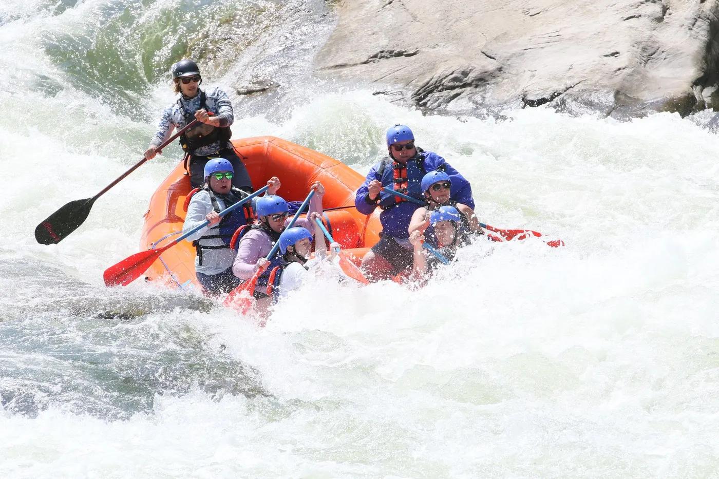
Rafting; kayak; packraft (expedition, raft-supported option)
Multiday camps between gorges - camp above upper gorge, at Otipi road end/Mangakirikiri, and above/below lower gorge; do not enter gorges without a full day and daylight
Experienced only - Class 3-4 competency compulsory (NZ Whitewater Academy); not for anything but summer flows unless very experienced; raft support can carry group gear
The run
Upper gorge: Bullivant's Cascade, New Slip (IV), the Motu Slot (~2 m wide bedrock channel, scout for logs). Lower gorge (5 km, hardest): Sonny's Revenge, Boulder Rapid, the Shute, Double Staircase, Helicopter rapid - all must be shore-scouted for sieves/undercuts/wood
New unstable slips create fresh sharp Class IV rapids at any time; sharp greywacke bedrock slices packrafts; wood/log hazards collect in tight rapids; the Motu Slot; lower-gorge sieves and undercuts; portage only where riverbank not flooded
Motu Falls (Ford put-in) to SH35 bridge take-out
Deep wilderness solitude - once on the river the only way out is to paddle out; occasional hunters/jet boats on lower river
Access & shuttle
Protected by National Water Conservation (Motu River) Order 1984; put-in crosses private/paper road - get permission at Waitangirua station; arrange shuttle via Motu Trails. Confirm access permissions
Permits and operators change - confirm before booking.
Put-in below Motu Falls at Waitangirua/'Ford' via Motu Road/Motu Falls Road from Matawai (permission needed at Waitangirua station); take-out river right under SH35 Motu Road bridge (~44 km east of Opotiki)
Long, difficult shuttle - do NOT leave cars at road ends; arrange with Motu Trails; jet-boat pickup possible below Whites Rapid to skip last ~20 km. Confirm shuttle contact
Riverside bush camps (tents/tarps) - opposite Blue Slip (above upper gorge), Otipi 4WD road end, Te Kahika confluence, below Whites Rapid; Mangakirikiri hut ~15 min up creek. No formal booking; camping impossible in flood
Carry InReach/PLB (mandatory - limited emergency exits); no cell coverage; expect sharp-rock boat repairs (carry repair kit); treat river water; contingency food for flood delays
Opotiki and Whakatane hubs; Motu Trails (shuttle); NZ Whitewater Academy; jet-boat operators
Hazards & exits
Unstable slips can form new sharp Class IV rapids without warning; sharp bedrock; log/sieve hazards; gorges dangerous in flood; scout all horizon lines; grade escalates fast with flow
Very limited - once committed the only way out is to paddle out; wilderness foot-exit routes limited; carry InReach and know exit options before entering gorges
Class 3-4 competency compulsory for self-guided; NZ Whitewater Academy offers guided kayak trips with raft support (waiting-list, flow-dependent); highly committing
This profile is desk research, compiled from public sources - not a first-hand river run report. Coordinates are approximate.