

Clarence River
Also known as: Waiau Toa
Between Inland and Seaward Kaikoura Ranges; dramatic rock canyons (Bullen, Second, Third/Sawcut, Fourth gorges), braided flats, living geology; finishes at Pacific with kahawai and dolphins
Is there water?
Whether there is a river here on your dates, and what kind of water it is.
Rain/snowmelt fed, unregulated; two gauges combined - Clarence at Jollies + Acheron; recommended packrafting 15-30 cumecs, floods >100 cumecs. Confirm current gauges
Roughly Sep-Apr; late summer risks too little water, winter often too cold
Spring to early summer (Oct-Dec) most popular; paddled all seasons
Cold alpine-fed water; can snow at Christmas; wetsuit/drysuit advised
Extreme wind is the main injury cause - violent N/NW gusts can capsize laden rafts; severe frosts, snow possible any month; flash floods; hunker down in gales
Grade & who can come
A river changes grade with its level. These grades describe a normal flow - in flood the same run is harder, and often a different run entirely. Check the gauge before you commit.
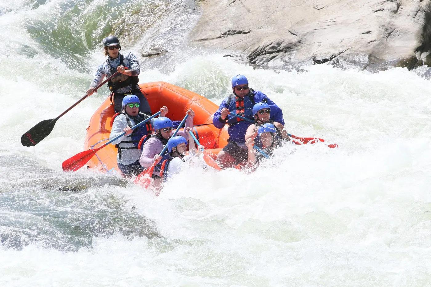
Grade 2-3 (II/III); isolated Grade III-IV hazards at high flow; commercial trips run gentle Grade 2
Rafting; kayak; packraft (multiday, self-support or catered)
Split by river days between DOC huts (Palmer, Seymour/Forbes, Snowgrass) or camp; commercial operators run fully catered 5-day; shorter 3-day possible in spring flows
Broad appeal - commercial trips suit children 7+ and multi-generational groups (Grade 2); self-guided requires intermediate+ paddlers and Grade III self-rescue at higher flows
The run
The Chute (needle/spike rock, 2024 fatality site, changing post-earthquake); Wrap Rock; Dambuster rapids; Lonely Dog sieve field; Papatea Fault wave trains near SH1
The Chute (pinning spike rock, fatality); Wrap Rock (flips/pins); Dambuster rapids (sharp mobile earthquake rock, constantly changing); Lonely Dog sieve/hole; willows; SH1 concrete sputniks/old bridge abutments. Rockfall in gorges elevated since 2016 Kaikoura earthquake
Acheron confluence to SH1 / Clarence Bridge (classic run)
Near-wilderness - no highways or bridges along the run; solitude the norm; a few commercial groups
Access & shuttle
Commercial operators are DOC concession holders (Clarence River Rafting) and hold transport licences; self-guided free but check land tenure (Molesworth Station, DOC). Confirm access keys/permissions
Permits and operators change - confirm before booking.
Put-in at Acheron confluence via Hanmer Springs over Jack's Pass (DoC shelter and loo); take-out just below SH1 bridge (river left) or continue to sea (river right)
Long/complex shuttle (self-support two-car ~938 km for a party); commercial shuttles via Clarence River Rafting and Raft Rentals NZ; Hanmer to put-in ~30 km (45 min)
DOC huts along river: Palmer Stream (12 bunks), Seymour/Forbes (10 bunks), Snowgrass Flat (10-12 bunks); NO Gibson or Goose Flat hut (fire 2021). Abundant camping. Confirm current hut status/bookings
Carry camping gear even if using huts (wind may prevent reaching hut); PLB/InReach essential; treat/filter silty water; no cellphone coverage; dry part of country
Hanmer Springs and Kaikoura hubs; Clarence River Rafting; rivers.co.nz; Hidden Valleys Rafting; Raft Rentals NZ
Hazards & exits
Post-2016 earthquake rock is sharp, mobile and hazards change each flood; scout everything; fire risk very high; wind; sieves
Limited - long committing valley; former exits at Glen Alton Bridge (destroyed) and SH1; road access only at ends; carry PLB/InReach; huts as shelter
Self-guided needs Grade III skills and excellent self/team rescue at high flow; guided catered trips available
This profile is desk research, compiled from public sources - not a first-hand river run report. Coordinates are approximate.