

Trisuli
Also known as: Trishuli / Trisuli Ganga
Prithvi Highway river valley, terraced hills, villages and roadside dhabas; gateway to Chitwan and Pokhara
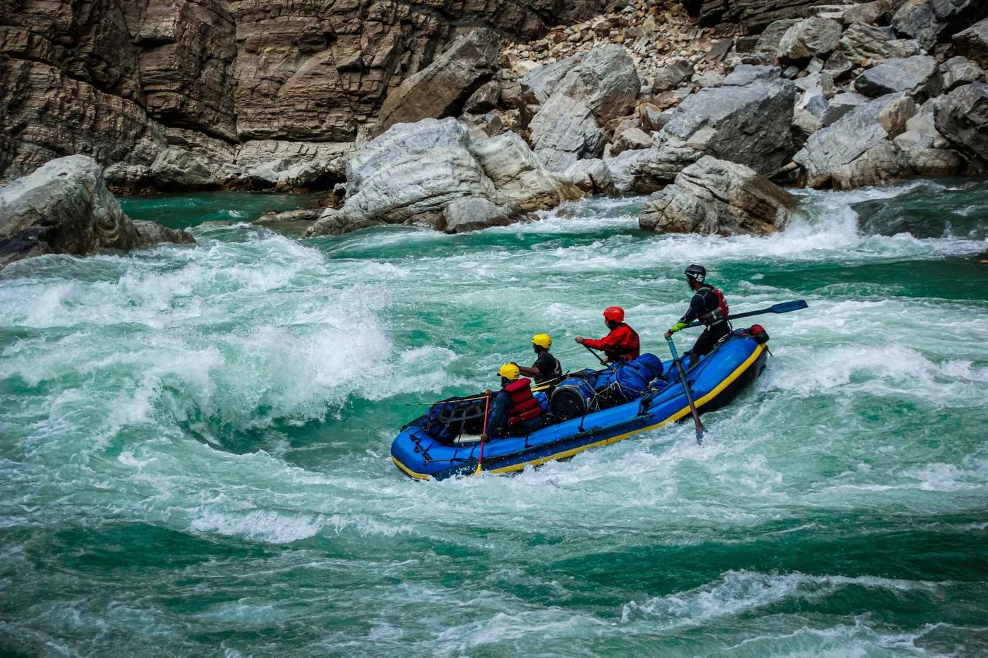
Is there water?
Whether there is a river here on your dates, and what kind of water it is.
Rain and snow fed; low to moderate in the dry season, high and pushy Grade 3+/4 during monsoon
All year (grade rises sharply in monsoon)
Year-round; most popular Sep-Nov and Mar-May, biggest water in monsoon (Jun-Aug)
Warm to mild; low elevation keeps the water comfortable most of the year
Monsoon flash floods, high muddy flows and highway landslides in the wet season. Confirm.
Grade & who can come
A river changes grade with its level. These grades describe a normal flow - in flood the same run is harder, and often a different run entirely. Check the gauge before you commit.
Grade 2-3 (3+ to 4 in monsoon high flow)
Raft, kayak
Half-day, full-day or 2-day options; put-ins at Charaudi, Fishling or Malekhu to vary length and grade
Excellent for first-timers, families and large commercial groups; very accessible. Confirm.
The run
Ladies Delight, Upset (1 and 2), Surprise, Monsoon, Landslide, Bijuli, S-Bend, Twin Rock
Few portages at normal flow; monsoon adds powerful waves, holes and floating debris
Charaudi to Kuringhat (extendable to Gaighat)
High; the busiest and most crowded commercial river in Nepal
Access & shuttle
NARA river permit via operator; no park fee. Confirm.
Permits and operators change - confirm before booking.
Roadside put-in Charaudi ~3 hr (81 km) from Kathmandu on the Prithvi Highway; frequent highway take-outs
Easy road access on the Kathmandu-Pokhara-Chitwan highway; minimal shuttle
Riverside camps and resorts near Kuringhat for overnight trips; day trips need no camping
Standard raft gear; good mobile signal along the highway and easy resupply
Kathmandu and Pokhara operators; Charaudi, Fishling and Kuringhat hubs
Hazards & exits
Crowds, highway traffic, monsoon flood and debris; otherwise low risk
Roadside access throughout makes evacuation easy; hospitals in Kathmandu and Bharatpur
Licensed raft guide required; safety kayak on higher flows
This profile is desk research, compiled from public sources - not a first-hand river run report. Coordinates are approximate.