

Modi Khola
Also known as: Modi Khola / Modi
Annapurna Sanctuary foothills; Machhapuchhre (Fishtail) views; deep valley, Birethanti/Ghandruk lodges
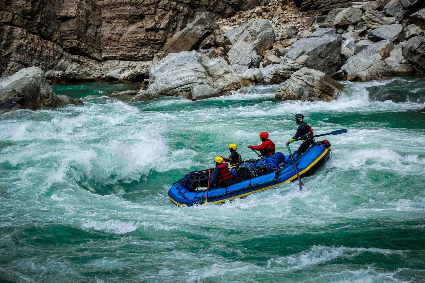
Is there water?
Whether there is a river here on your dates, and what kind of water it is.
Glacial snow/rain-fed; steep gradient; flow reduced by upstream hydropower diversions (Modi Khola HEP 14.8 MW, Lower Modi). Confirm.
Oct-Nov and Mar-May; monsoon May-Oct brings ~80 percent of rain (high). Confirm.
Autumn (Oct-Nov) and Spring (Mar-May); post-monsoon flows
Cold glacial-fed water
Monsoon flash floods; hydropower release/diversion changes; steep-terrain rockfall
Grade & who can come
A river changes grade with its level. These grades describe a normal flow - in flood the same run is harder, and often a different run entirely. Check the gauge before you commit.
Class IV-V (grade 4/5)
Kayaking (steep creek/race); safety-kayak
Race section (Modi Khola Express) as a shorter hit; walk to villages/lodges between laps
Expert kayakers only; not for rafts/beginners; committing steep whitewater
The run
Steep pool-drop boulder rapids; up to ~8 m mountain-back drops; continuous technical lines
Steep drops, must-scout horizon lines, hydropower intakes/diversion structures
Annapurna foothills run to Kali Gandaki confluence (Modi Beni, near Kusma)
Low crowds; busy during Modi Khola Express race; ABC trekkers nearby
Access & shuttle
Inside Annapurna Conservation Area - ACAP entry permit likely required; verify for paddling. Confirm.
Permits and operators change - confirm before booking.
Put-in reached from Pokhara via Nayapul/Birethanti (~1.5-2 hr drive) then short walk; take-out at Kali Gandaki confluence near Kusma/Modi Beni
Drive Pokhara to Nayapul/Birethanti (~70 km paved), road shuttle to take-out at Kusma. Confirm.
Trekkers lodges/tea houses in valley (Birethanti, New Bridge); no camping needed for day run
Steep-creek kayak gear, throwbags, scouting; patchy mobile coverage; lodges for food
Pokhara; Nayapul/Birethanti; Kusma
Hazards & exits
Hydropower dams/diversions altering flow; steep must-run drops; monsoon floods
ABC trekking trail and roads parallel parts of the valley for exits; Pokhara hospitals ~2 hr
Expert self-sufficient kayak team; local guiding (Paddle Nepal / GRG / Himalayan Outdoor Project) recommended
This profile is desk research, compiled from public sources - not a first-hand river run report. Coordinates are approximate.