

Marsyangdi
Also known as: Marsyangdi / Marshyangdi
Dramatic Himalayan valley below Annapurna and Manaslu; terraced hills, gorges
Is there water?
Whether there is a river here on your dates, and what kind of water it is.
Steep snow and monsoon fed; drops fast; flows vary sharply with rain
Best at moderate autumn levels; too high in monsoon, bony in deep winter. Confirm.
Oct to Nov (post-monsoon) and short spring window
Cold mountain water; wetsuit or drysuit recommended (est)
Monsoon and shoulder-season flash floods raise already hard rapids. Confirm.
Grade & who can come
A river changes grade with its level. These grades describe a normal flow - in flood the same run is harder, and often a different run entirely. Check the gauge before you commit.
Nepali grade 4-5 (35 plus big rapids)
Rafting and kayaking
Usually one 2-day trip; longer 3-4 day itineraries offered
Experienced advanced paddlers only; prior whitewater experience essential
The run
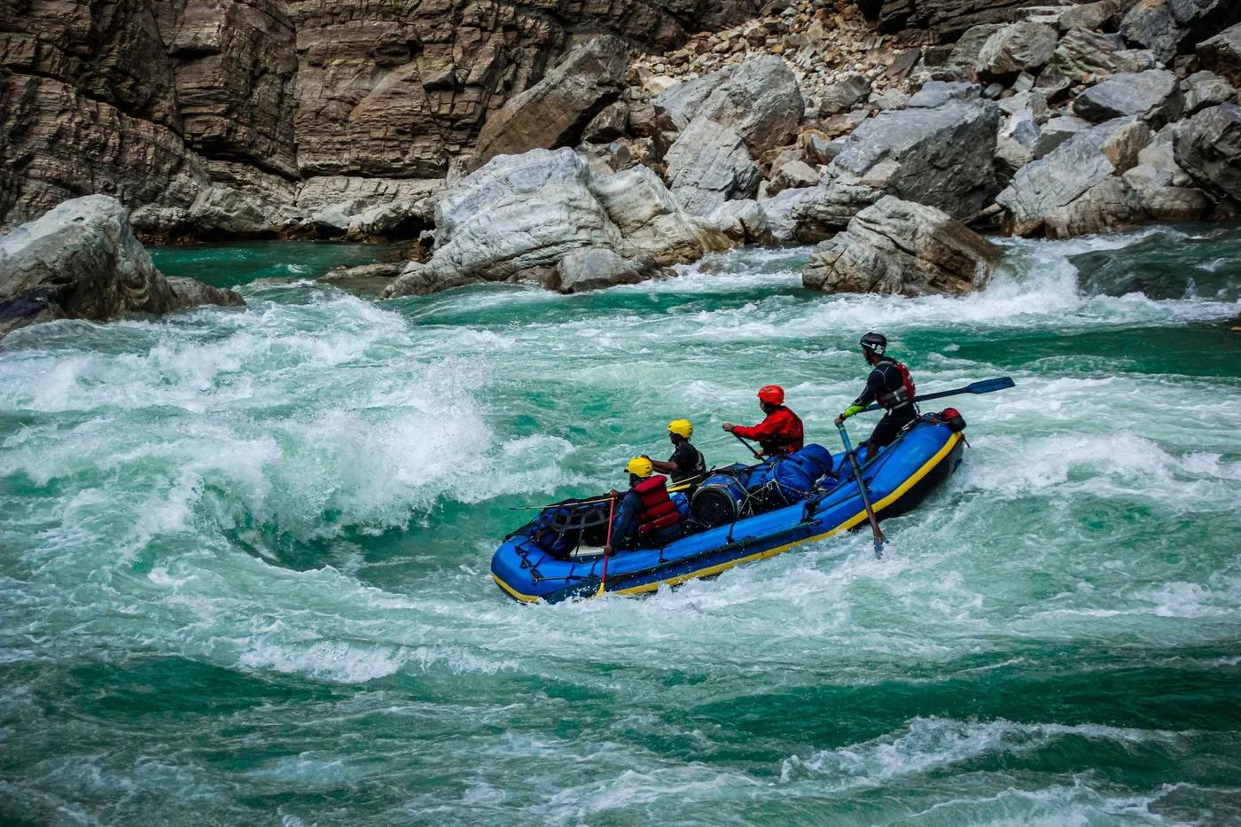
Steep continuous class 4-5 from day one; scouting required; little relent. Confirm.
Frequent scouting; portage some drops at high water; hydro dam affects lower river. Confirm.
Marsyangdi (Ngadi/Bhulbhule to Phalesangu)
Low crowds; specialist trip, few commercial groups
Access & shuttle
No government river permit since 1999; operator fees only. Confirm.
Permits and operators change - confirm before booking.
Put-in at Ngadi or Bhulbhule reached by drive and trek above Besisahar; take-out near Phalesangu/Bimalnagar
About 4-6 hr drive to Besisahar then trek to put-in; highway take-out. Confirm.
Wild riverside beach camps arranged by operator
Operator provides camping and gear; poor mobile coverage in gorge
Besisahar, Pokhara, Kathmandu hubs; Thin Air Adventure, Nepal River Runner (est)
Hazards & exits
One of Nepal hardest commercial runs; dam and diversion have altered lower sections. Confirm.
Road follows parts of upper valley; trails and Besisahar road for evac; remote gorge sections committing
Commercial guided raft with strong safety cover; expert guides and safety kayakers required
This profile is desk research, compiled from public sources - not a first-hand river run report. Coordinates are approximate.