

Bhote Koshi
Also known as: Bhote Kosi / Bhotekoshi / Upper Bhote Koshi
Steep forested gorge, Araniko Highway scenery, proximity to the Tibet border and an adventure-resort corridor
Is there water?
Whether there is a river here on your dates, and what kind of water it is.
Snow and monsoon fed; very steep and pushy at high flow, Lamosangu dam and releases affect lower flows. Confirm.
Sep to early Dec and Mar-May
Sep-Dec and Mar-May
Cold; high-altitude glacial source keeps the water cool year round
Flash floods, Araniko Highway landslides and GLOF risk from Tibet-side glacial lakes. Confirm.
Grade & who can come
A river changes grade with its level. These grades describe a normal flow - in flood the same run is harder, and often a different run entirely. Check the gauge before you commit.
Grade 4-5 at high flow, Grade 3 at low levels
Raft, kayak
One-day run common; shorter or lower-grade options at low water or a higher put-in for stronger groups
For fit adventurous paddlers; not a beginner river at high flow. Confirm.
The run
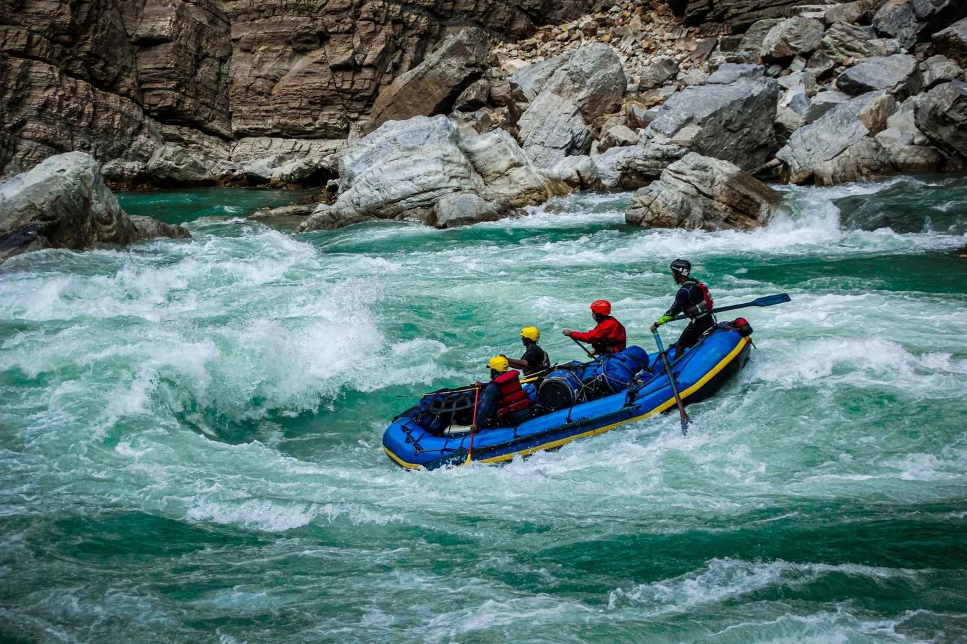
Steep continuous drops in the upper gorge; big holes and hydraulics at high water, technical boulder rapids
Some rapids portaged at high flow; hazards are undercuts, sieves and continuous gradient
Upper Bhote Koshi (Barabise area to Sukute)
Moderate; a popular adventure day trip with nearby bungee and canyon-swing resorts
Access & shuttle
NARA river permit via operator; no park fee. Confirm.
Permits and operators change - confirm before booking.
Put-in near Barabise/Khadichaur ~3-3.5 hr from Kathmandu on the Araniko Highway; roadside take-out at Sukute
Road shuttle along the Araniko Highway; short vehicle repositioning
Riverside resorts and camps at Sukute and The Last Resort area; day trips need no wild camping
Standard whitewater gear, helmets and throwbags; mobile signal along the highway corridor
Kathmandu operators; The Last Resort, Borderlands and Sukute resorts
Hazards & exits
Steep gradient, cold water, highway landslide and flood risk, dam-affected flows
Roadside river with highway access aids evacuation; hospitals in Kathmandu. Confirm.
Licensed guide and safety kayaker essential given the steep grade; full safety kit
This profile is desk research, compiled from public sources - not a first-hand river run report. Coordinates are approximate.