

Kokomeren River
Also known as: Kokomeren, Kekemeren (same river, alt transliteration)
Steep inner Tian Shan canyons, ochre badland formations (Kyrgyz Bryce Canyon), Kyzyl-Oi village.
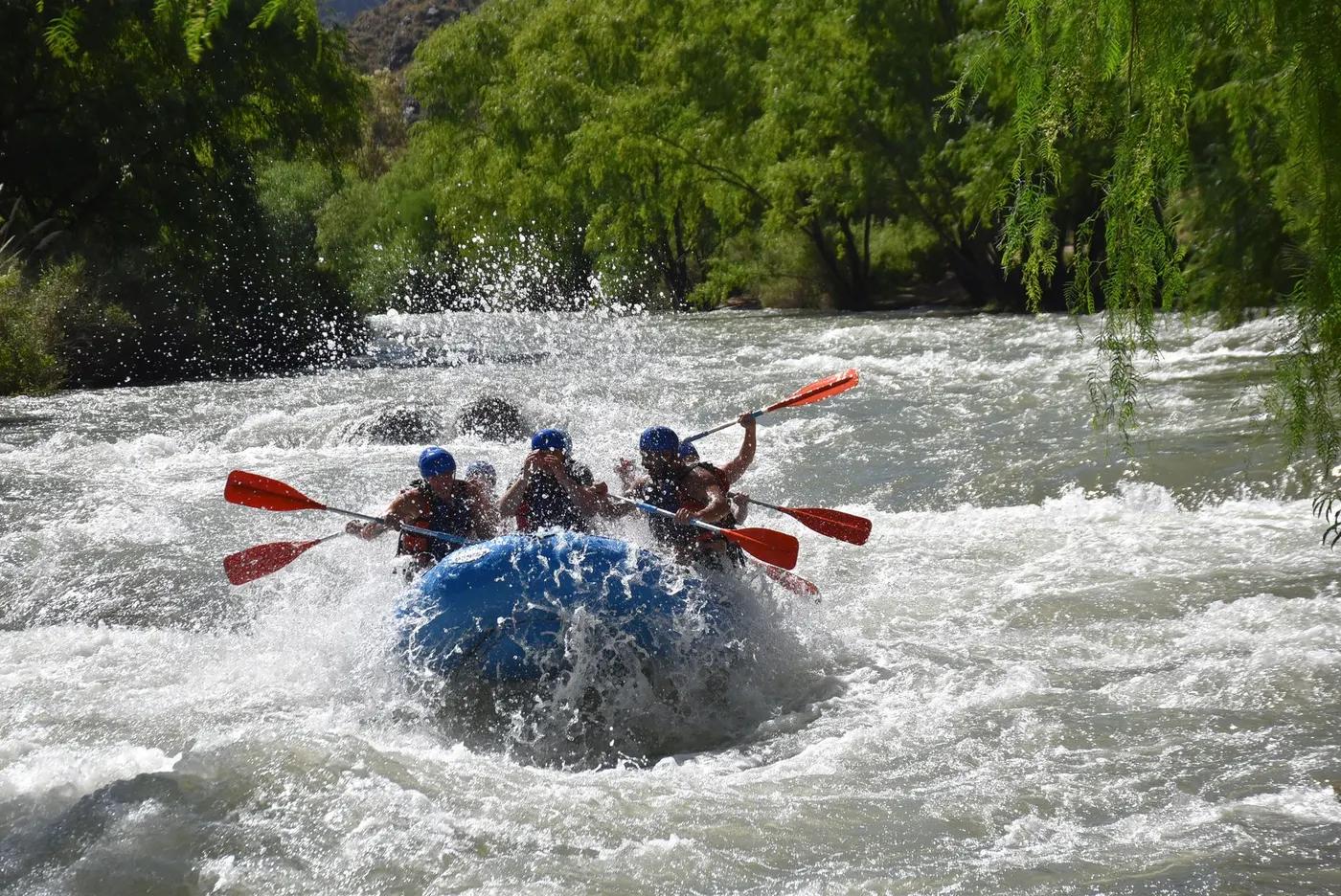
Is there water?
Whether there is a river here on your dates, and what kind of water it is.
Snowmelt-fed; turbid/high in summer, lower and clearer in spring and autumn; avg discharge ~80 m3/s.
May-September; hardest sections best at moderate spring/autumn levels
May-June and September (lower, clearer flows); high water midsummer
Cold snowmelt ~8-14 C (est)
Snowmelt surges on hot days; thunderstorms; rockfall in canyons. Confirm.
Grade & who can come
A river changes grade with its level. These grades describe a normal flow - in flood the same run is harder, and often a different run entirely. Check the gauge before you commit.
Class III-V (hardest rapids to V; occasional VI portage)
Rafting; kayaking
Split into upper 45 km Kojomkul/Susamyr-Aral (harder, 1-3 days) and lower 90 km Aral-Naryn (easier III, 2-5 days).
Advanced rafters/kayakers; upper canyons expert; lower reaches suit intermediate with guides.
The run
Sustained IV-V in the upper canyons (Proryv, Sliv, Most, Lestnitsa, Moby Dick), Canyon II back-to-back IV/IV+; easier III below toward Naryn.
Several grade V rapids portageable/scoutable from the road (river-left); Proryv and Sliv notable. Confirm.
Kojomkul to Naryn confluence (via Kyzyl-Oi and Aral)
Remote, low crowds; occasional expedition groups.
Access & shuttle
No general permit typically required. Confirm.
Permits and operators change - confirm before booking.
Road (A367 Bishkek-Osh corridor) follows much of the river; put-ins/take-outs at Kojomkul, Kyzyl-Oi, Aral, Naryn confluence.
Vehicle shuttle along the valley road; guesthouses en route.
Wild camps; guesthouses in Kyzyl-Oi and Aral; Kojomkul village.
Multiday self-support kit; cold-water gear; limited mobile signal in canyons.
Bishkek/Kyzyl-Oi hubs; Asian Water Adventures; Northwest Rafting Company; Trip to Kyrgyzstan.
Hazards & exits
Continuous whitewater, cold water, remote canyons; documented fatal accident history on the system. Confirm.
Road parallels river for much of run - good vehicle egress; no formal rescue.
Guided or expert self-support; upper canyons require strong IV-V skills.
This profile is desk research, compiled from public sources - not a first-hand river run report. Coordinates are approximate.