

Nagara River
Also known as: Nagaragawa, Nagara-gawa
Celebrated clear stream (one of Japan's three cleanest); visible fish, fresh green valley, autumn foliage, Enku heritage area
Is there water?
Whether there is a river here on your dates, and what kind of water it is.
Rain-fed clear river; largely undammed mainstem; water warms in sun, cools and rises after rain
Approx Apr-Oct (Confirm. operator dates)
Spring (fresh green) to autumn (foliage); summer river-play peak
Clear cool mountain water; warms in sun, drops after rain; wetsuits provided, warm layers advised
Rainy season and typhoon (Aug-Oct) rain raise and chill flows; can cancel tours at high water
Grade & who can come
A river changes grade with its level. These grades describe a normal flow - in flood the same run is harder, and often a different run entirely. Check the gauge before you commit.
Grade 3 (Japanese 1-6 scale)
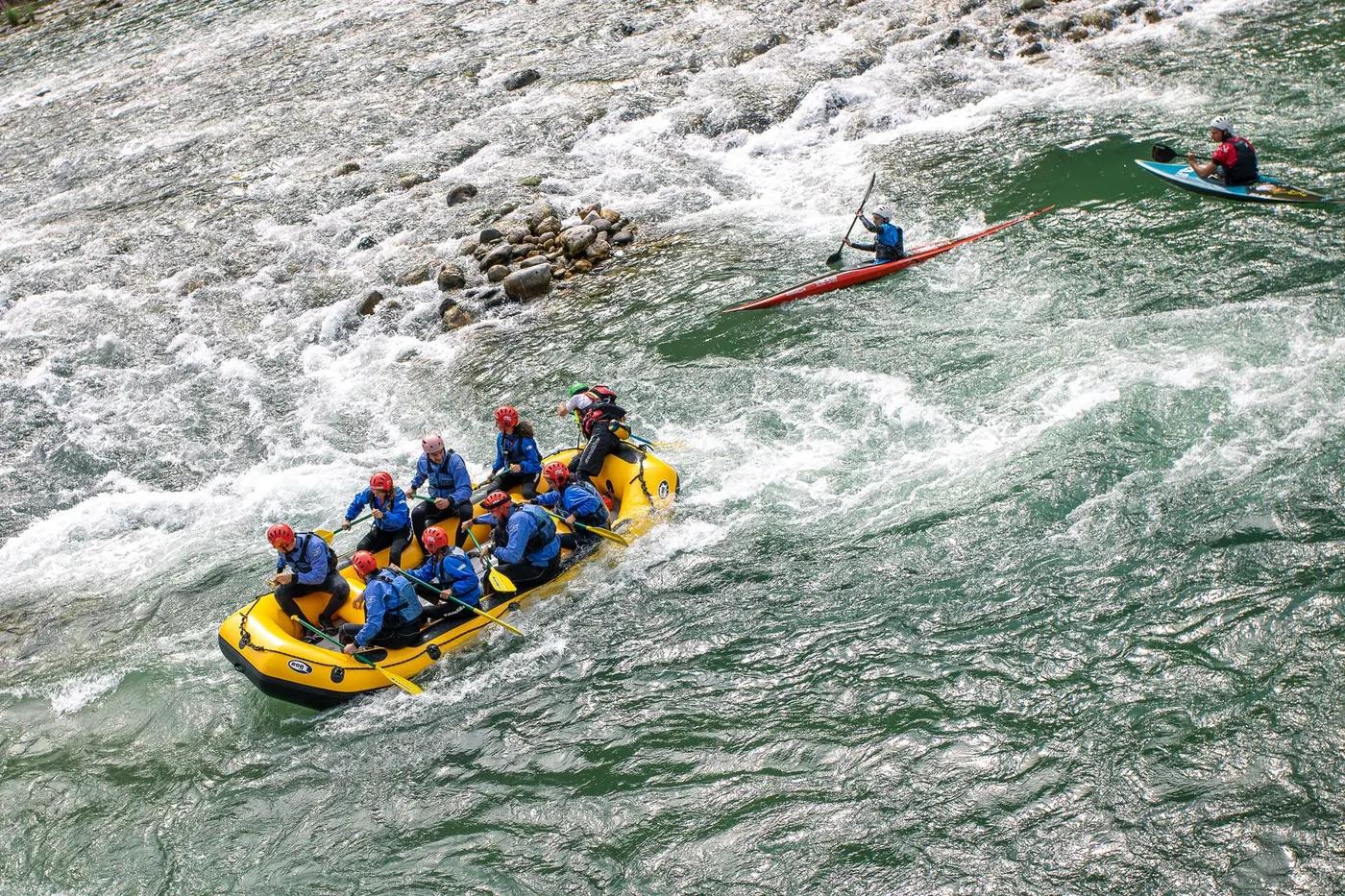
Rafting; kayak
Rafts ~6-8 pax; kids and family plans; private boat (5+) options; morning/afternoon splits
Beginner-friendly with guide; family and kids plans; near Gujo-Hachiman, access via Tokaido/Nagaragawa railway and car
The run
Continuous but manageable grade-3 rapids; no extreme drops; guides brief beginners; higher/colder after rain
Grade-3 rapids only, no major portage for guided rafts; cold-water shock after rain
Minami-cho section (Gujo)
Popular summer clear-water destination; family crowds in peak season
Access & shuttle
Operator tour fee (Confirm. current price); some plans include onsen ticket
Permits and operators change - confirm before booking.
Put-in/take-out around Minami-cho, Gujo; operator bases in Minami-cho
Operator shuttle; car access via Tokai-Hokuriku Expressway; Nagaragawa Railway to Gujo
No river camps on run; Gujo/Minami-cho lodging and campgrounds
Wetsuit/PFD/helmet by operator; mobile coverage moderate; day trip
Adventure Rafting (Minami-cho); River Adventure Tours; Gekiryu; TABITABI Gujo hub operators
Hazards & exits
High/cold water after rain; peak-season crowds; standard guided-rafting hazards
Road-accessible; operator safety cover; Gujo-area emergency services
Guided for commercial rafting; independent paddlers self-support
This profile is desk research, compiled from public sources - not a first-hand river run report. Coordinates are approximate.