

Dangme Chhu
Also known as: Drangme Chhu, Manas
Untouched forest gorges few have seen, no farms/roads/settlements along much of the route; ends in/near Royal Manas National Park at the India border, one of the planet's most biodiverse pristine areas
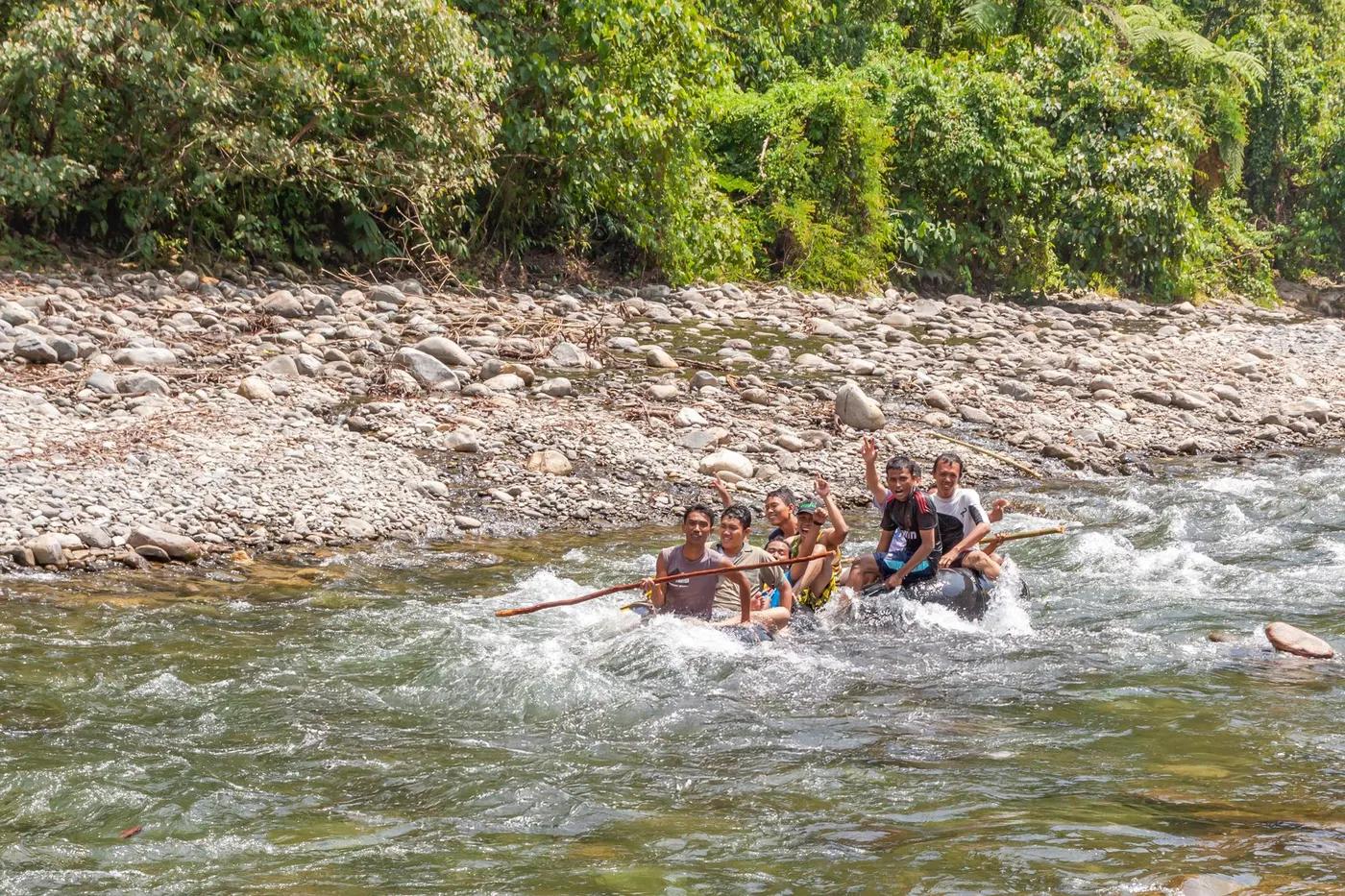
Is there water?
Whether there is a river here on your dates, and what kind of water it is.
Bhutan's largest river system; large-volume snow/glacier + monsoon-fed; flows drop and clarify Nov-Jan, huge and turbid in monsoon. Confirm.
Nov-Jan; monsoon ~Jun-Sep unrunnable/dangerous. Confirm.
November to January; commercial trips run in November (post-monsoon clear water, stable flows). Confirm.
Cool-to-cold upper gorge warming toward tropical lowlands near Panbang/Manas (est)
Monsoon floods reshape rapids year to year; flash-flood and rising-water risk; scheduled for the dry post-monsoon window
Grade & who can come
A river changes grade with its level. These grades describe a normal flow - in flood the same run is harder, and often a different run entirely. Check the gauge before you commit.
Class III+ with three Class IV (Whitewater Guidebook), gradient ~19 fpm; O.A.R.S. markets it as world-class Class IV-V; Class V sections exist upstream of the standard put-in
Rafting (supported expedition); Kayaking
On the local Panbang product guests can skip the higher-risk upper days and join milder lower days (Class II-III) or a gentle Panbang Day Float; the full expedition is not casually splittable
Expedition-only, remote, self-supported multi-day for experienced rafters with high risk tolerance; local lower-section floats are family-friendly
The run
Big-volume Himalayan river in a deep committing roadless gorge; drop-pool rapids; several Class V drops upstream of the normal start; remoteness itself is the crux; monsoon-altered features
Class V sections upstream of Kengkhar avoided/portaged; in-river ledges, rocks, complex drop-pool rapids; remoteness with no road access along the gorge
Upper Drangme Chhu (Kengkhar to Panbang); becomes the Manas below the Mangde Chhu confluence
Extreme solitude - only a handful of parties have run it since 2009
Access & shuttle
Sustainable Development Fee USD 100 pp per night (USD 50 ages 6-12; fixed Sep 2023-Aug 2027); eastern Bhutan restricted region needing route/special-area permits via licensed operator; Royal Manas NP entry permit. Confirm.
Permits and operators change - confirm before booking.
Put-in: drive to Kengkhar then down into the canyon, road ends with a ~45 min-1 hr walk to a footbridge; take-out at Panbang town (eco-lodge), Royal Manas reached by a short motorized boat crossing
Long overland logistics: Paro/Bumthang to Kengkhar (~5 hr) to start; from Panbang 6-7 hr drive back up the Mangde Chhu; Gelephu-Panbang road ~6-7 hr
Wilderness river camping on sandy banks (2 nights); Panbang has an eco-lodge and riverside bamboo cottages
Fully self-sufficient supported expedition (rafts, safety gear, food, camp by outfitter); connectivity effectively nil in the gorge (est)
Trashigang and Mongar (Kengkhar side); Panbang/Zhemgang and Gelephu (take-out side); Samdrup Jongkhar road hub
Hazards & exits
Monsoon-altered rapids and relatively-unknown-run status; committing roadless gorge; upstream Class V; minimal rescue; long remote drives; tiger/elephant country at the take-out
Very limited to none within the roadless gorge; no road access along much of the route; self-rescue/self-sufficiency mandatory
Foreigners must book via licensed Bhutanese operator; trips run with certified guides, full safety crew and provided equipment; self-guided private paddling not practical/permitted
This profile is desk research, compiled from public sources - not a first-hand river run report. Coordinates are approximate.