

Franklin River (Collingwood to Sir John Falls)
Also known as: The Franklin
Quartzite gorges - Irenabyss, the Great Ravine, Rock Island Bend
Is there water?
Whether there is a river here on your dates, and what kind of water it is.
Rain-fed, unregulated wild river (>1900 mm/yr); rises ~6 m overnight; ideal ~10-15 cumecs
Dec-Mar prime; Apr-Nov cold/high, not offered
Dec-Mar (austral summer)
Cold even in summer; drysuit and thermals essential; fuel-stove only; numeric temp not published (-)
Flash floods any time; can rise ~6 m overnight; cold, sunless days common
Grade & who can come
A river changes grade with its level. These grades describe a normal flow - in flood the same run is harder, and often a different run entirely. Check the gauge before you commit.
Grade 2-5, some grade 6 at high water (Parks Tas)
Guided raft; self-support kayak / packraft / private raft
No easy mid-river split once past Irenabyss. The commercial guided raft trip IS the split option for non-experts; shorter Upper Franklin (~6-7 day) trips exist; Mt McCall 4WD a theoretical mid-river access.
Fit, committed paddlers or guided clients only; not for casual or non-paddling members in-river
The run
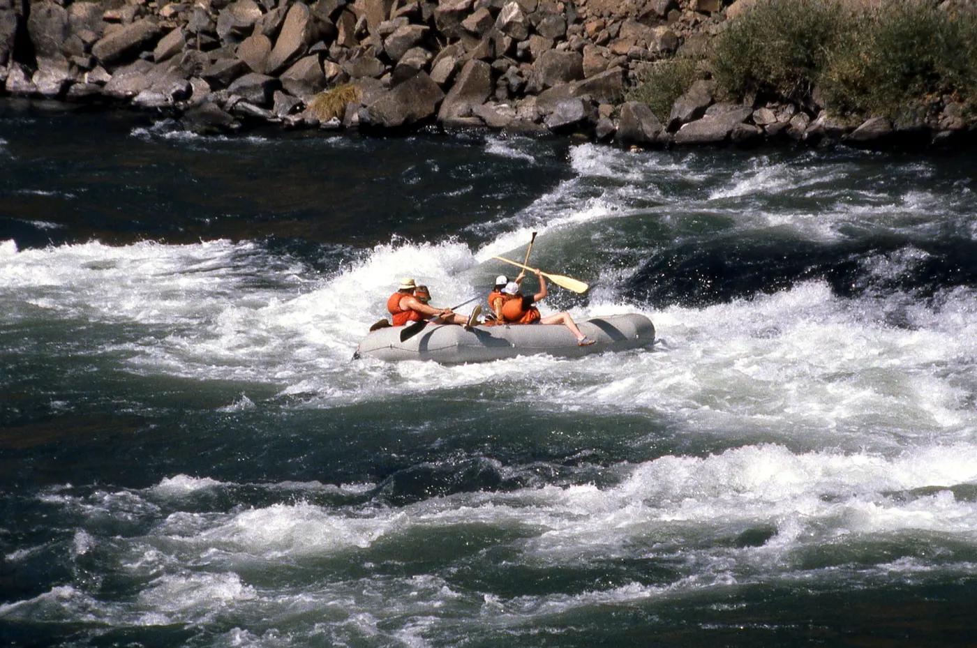
The Cauldron (IV-V, ~1 hr portage) and Thunderrush (IV-V+) in the Great Ravine; Pig Trough (V) at Rock Island Bend
Compulsory portages - Log Jam, The Cauldron (~1 hr), Pig Trough, Big Fall; flash floods, wood/strainers, siphons, cold water; venomous snakes, leeches at camp
Collingwood River to Gordon River (Sir John Falls)
Very few parties; a wilderness permit-register river
Access & shuttle
Tasmania Parks Pass required (passes.parks.tas.gov.au); self-register at the put-in; fuel-stove-only + LNT. Confirm pass fee.
Permits and operators change - confirm before booking.
Put-in at Lyell Hwy A10 bridge; take-out not road-accessible (boat/heli only)
Road shuttle to put-in ~1.5 hr; Stormbreaker yacht pickup at Sir John Falls to Strahan
Riverside bush camps: Collingwood confluence, Angle Rain Cavern, below Irenabyss, Coruscades, Rafters Basin, Newland Cascades, Flat Island, Sir John Falls
Self-support kit, drysuit, thermals, fuel stove, EPIRB/PLB + sat comms; no signal in gorges
Hobart/Strahan; Water by Nature (Franklin River Rafting), Tasmanian Expeditions
Hazards & exits
Point-of-no-return past Irenabyss; a recorded drowning led to stricter guidelines; Kutikina Aboriginal cave (culturally significant) near the lower river
Helicopter evac only; EPIRB/PLB + sat comms; Mt McCall 4WD the only mid-river vehicle exit; hospitals Queenstown/Hobart; Parks West Coast Field Centre 03 6409 1020
Experienced self-support parties or a licensed guided trip; not for novices unguided
This profile is desk research, compiled from public sources - not a first-hand river run report. Coordinates are approximate.