

Barrington River
Also known as: Barrington Tops
Scenic gorges and pools; old bottlebrush and casuarinas; rainforest and grass-tree areas; verdant farmland
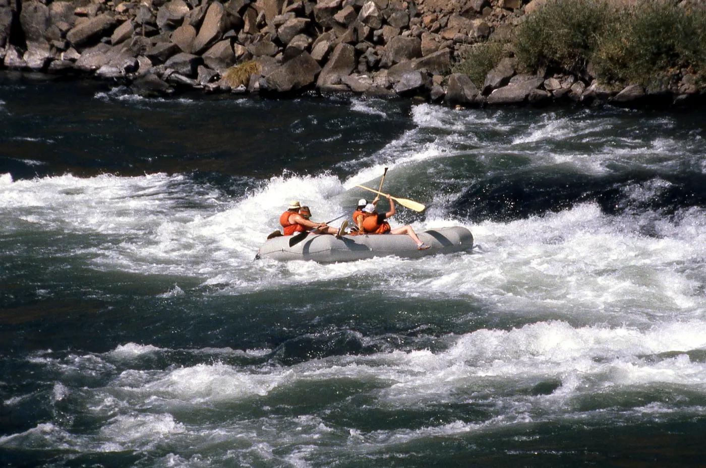
Is there water?
Whether there is a river here on your dates, and what kind of water it is.
Natural flow fed from Barrington Tops; rain-dependent
Natural flow; min ~0.45m at Rocky Crossing (rock-bottom), good ~0.8m, flood ~1.2m (Confirm.)
Spring to autumn; after rain for the upper grades
Cool mountain-fed water; temperate
Rises quickly after rain; trees/strainers worsen at higher levels; flows through trees at high water
Grade & who can come
A river changes grade with its level. These grades describe a normal flow - in flood the same run is harder, and often a different run entirely. Check the gauge before you commit.
Average Grade II, highest Grade IV; Grade I below Rocky Crossing, Grade III above Rawdon Vale (high water only); Class I-IV
Kayak; canoe; rafting
Split at The Cove (public access 500m below The Steps) into two shorter trips
Excellent for novices to experienced; lower (below Rocky Crossing) family-friendly, Canadian canoes suitable there; upper for experienced
The run
The Steps (series of drops); surprise Grade 2+ rapid below The Cove around a blind corner; tree strainers
WARNING: large fallen tree forming a dangerous sieve/strainer with no easy eddies; tree branches over water; portage advised
Bindera to Rocky Crossing (upper Barrington River)
Popular family/day-paddling river; can be busy near Rocky Crossing in season
Access & shuttle
Barrington Tops area; The Steps camping via Barrington Outdoor Adventure Centre arrangement
Permits and operators change - confirm before booking.
Put-in at Bindera (private property road via The Cove); take-out at Rocky Crossing; road follows river
Car shuttle approx 30 min; road closely follows river for easy access/exit
Camping ground at The Steps (access pre-arranged through Barrington Outdoor Adventure Centre); campgrounds in Barrington Tops
Standard kayak/canoe kit; helmet for upper section; patchy mobile coverage
Gloucester; Barrington Tops; Dungog
Hazards & exits
Dangerous fallen-tree sieve; strainers; grade rises sharply after rain
Road follows river - easy emergency pull-out; help from Gloucester
Self-guided suitable; self-guided kayak hire and guided options via local operators
This profile is desk research, compiled from public sources - not a first-hand river run report. Coordinates are approximate.