

Innerleithen
Also known as: Inners, The Golfie
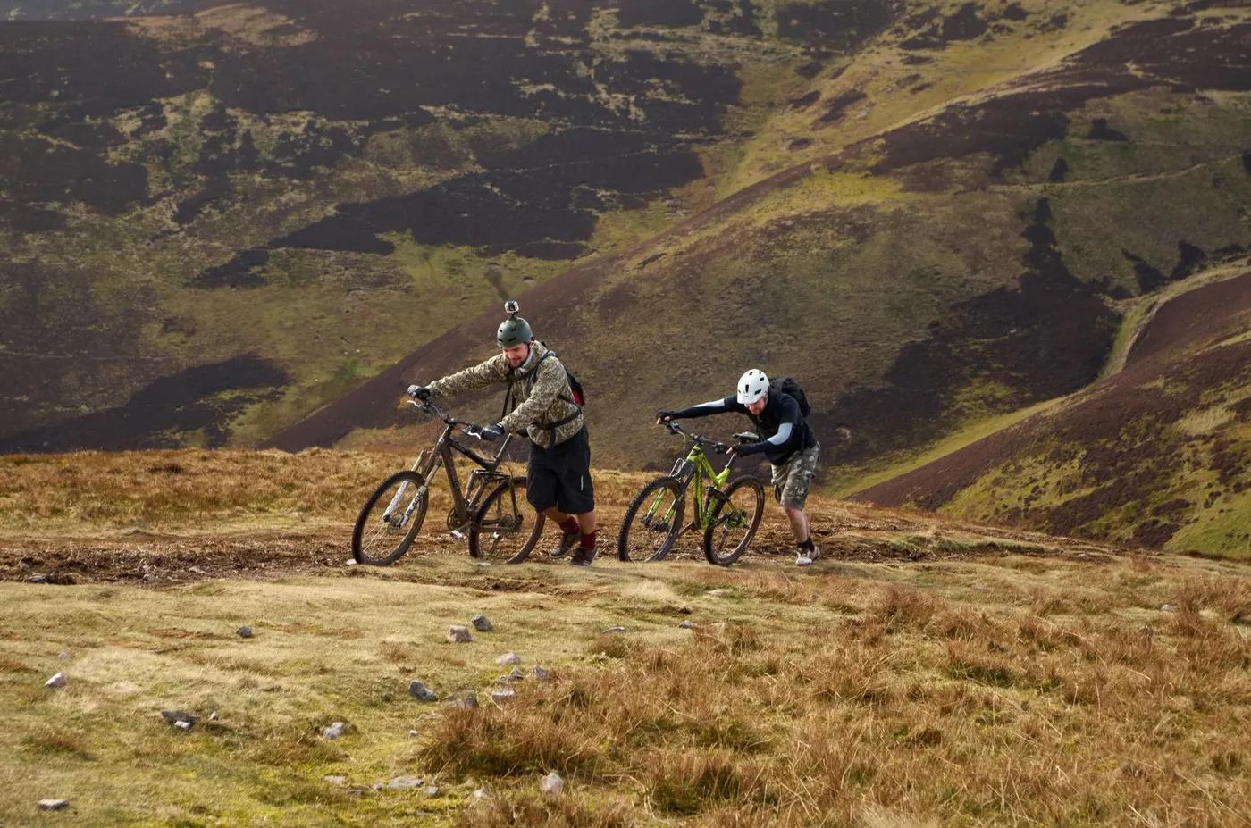
Tweed Valley views over Innerleithen and the Borders hills, conifer forest riding, and summit outlooks from Minch Moor and Lee Pen. Renowned as a heartland of UK downhill and Tweed Valley natural enduro.
Who in your group rides what
Whether everyone in your group gets a day at Innerleithen - the grades on offer, the named zones, and how mixed abilities split up.
Official FLS waymarking: one red-graded XC and four 'extreme' double-black downhill tracks (Matador, Cresta Run, Gold Run, Make or Brake, plus Double D optional line). The Golfie / Caberston Forest is overwhelmingly unofficial, community-built natural trails - unsanctioned and Trailforks-mapped (Trailforks catalogues roughly a couple of pro, ~49 black, a few red and a handful of blue/green lines there).
Beginner split: ride the lower/greener Golfie lines or, better, relocate to Glentress (green/blue network) - the Innerleithen DH and Golfie core are not beginner terrain. Advanced split: full extreme DH tracks off Plora Rig plus the Golfie natural enduro web. Descent-only riders use Adrenalin Uplift shuttles (weekends/events) to lap the DH side without climbing.
Best suited to confident intermediate-to-expert riders; genuine beginners and families are better served at nearby Glentress. Works well for small experienced groups doing shuttle laps.
The riding
Predominantly natural forest surface - loam, roots, rock and off-camber - on steep hillsides, supplemented by some machine-built berms, jumps and rollable features on the graded tracks.
Steep loamy chutes, exposed roots, rock slabs, off-camber and drop-offs at sustained gradient; full-face helmet, gloves and body armour are strongly recommended on the DH tracks. Exposure is technical rather than high-alpine (tree cover throughout).
Official XC and DH tracks are waymarked with 7stanes signage from the car park. The Golfie natural trails are unmarked and unsigned - riders rely on Trailforks GPS mapping and local knowledge.
Busy on uplift weekends and race days; The Golfie and midweek riding are noticeably quieter, though the natural trails have a strong local following.
Season & conditions
Effectively year-round given low elevation (under ~600 m); occasional winter snow/ice and hard frosts, and steep trails get very wet and muddy through winter.
Rideable year-round; spring through autumn generally best, with autumn offering prime tacky loam conditions.
Regular host of Scottish Downhill Association and British/Scottish Downhill Series race rounds; hosted the British National Downhill Championships (2009, 2014). Autumn loam is the local signature condition.
Rain turns the steep natural loam treacherous; wind on exposed tops; hard frost/ice in winter; wildfire risk in dry spells (FLS issues seasonal wildfire alerts); ticks present spring-autumn.
Getting there & gear
Free public-forest access to ride under the Scottish Outdoor Access Code; no permit or lottery. Uplift is a paid ticketed service; parking at the trails car park is generally free.
Permits and operators change - confirm before booking.
Innerleithen Trails car park on Traquair Road (B709), EH44 6PW, about 1.5 km from Innerleithen village; roughly 50-60 min drive from Edinburgh.
Adrenalin Uplift (Scotland's largest MTB shuttle) runs weekend and event uplifts on the Innerleithen DH tracks from The Uplift Cabin in the trails car park - 16-seat minibuses with bike trailers, roughly every 15 min ~9:00-15:30. Drive-in via Edinburgh (~1 hr); bus services reach Innerleithen town. https://www.adrenalinuplift.co.uk/innerleithen
Bring a downhill/enduro bike with full-face helmet, gloves and body armour for the DH/Golfie terrain; carry your own water. Mobile signal is patchy within the forest.
Adrenalin Uplift cabin with basic facilities in the car park; fuller amenities (cafes, bike shops, food) in Innerleithen town, with more at Peebles and the Glentress Peel hub nearby.
Adrenalin Uplift (shuttles); Go Tweed Valley (destination hub/info); Glentress Peel and its bike shops/cafe; local bike shops and hire in Innerleithen/Peebles.
Hazards & rescue
Steep 'extreme'-grade and unsanctioned natural trails carry high crash risk and are ridden at your own risk; hazards include roots/rock, other trail users, active forestry felling closures and diversions, ticks, and larch-disease biosecurity. Full protective kit strongly advised.
None required - self-guided riding. Coaching and guiding are optionally available from Tweed Valley operators.
Forest roads criss-cross the hillside and provide the main exits/rescue access. Nearest major hospital is Borders General Hospital, Melrose; use GPS/what3words to relay location to emergency services.
This profile is desk research, compiled from public sources - not a first-hand mountain-bike network report. Coordinates are approximate.