

Afan
Also known as: Afan Forest Park
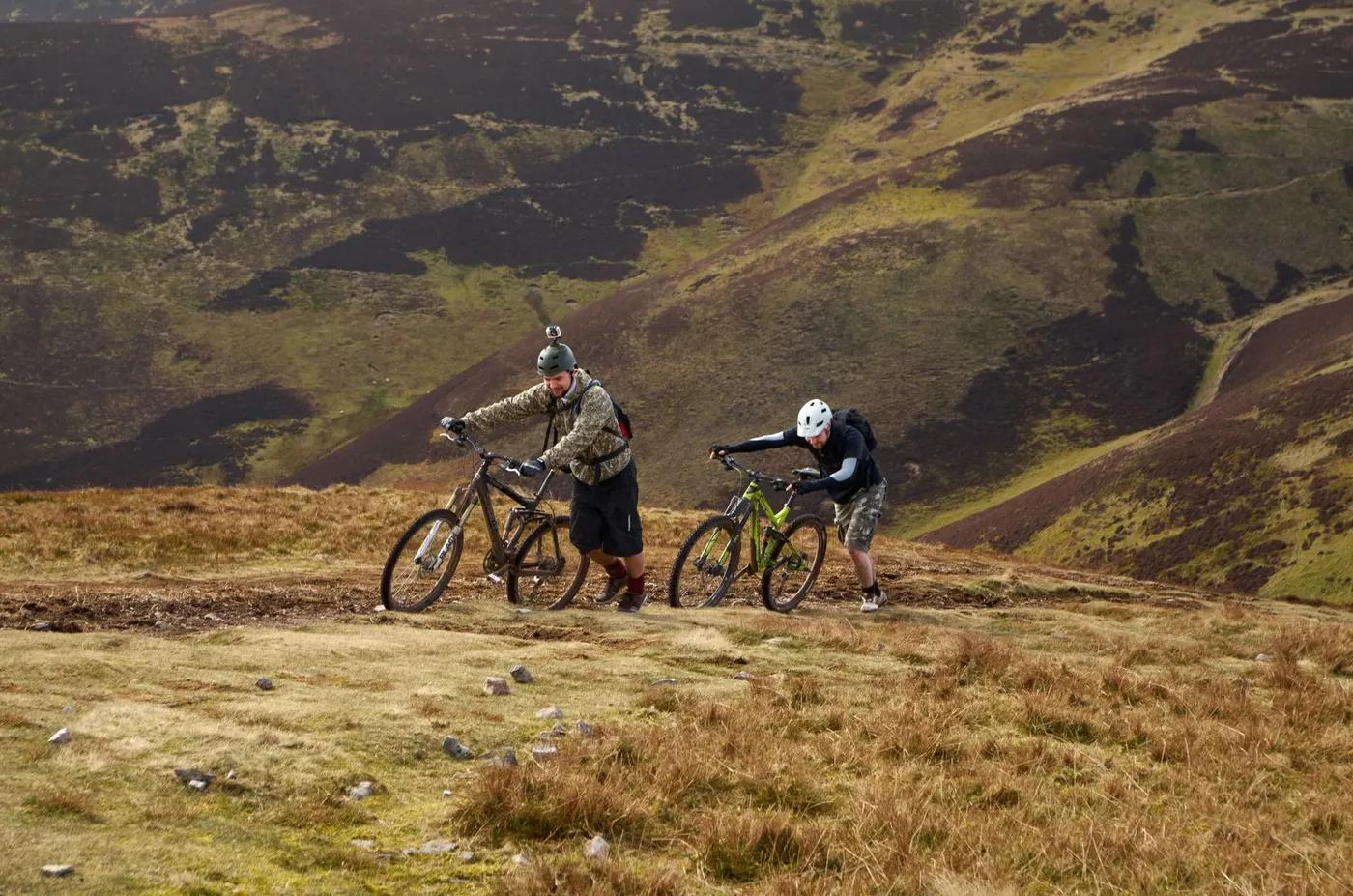
Sweeping views over the Afan Valley, the South Wales coast, and Bannau Brycheiniog (Brecon Beacons), the Preseli and Black Mountains from the tops; Pen y Cymoedd wind farm and coal-mining heritage features along the trails.
Who in your group rides what
Whether everyone in your group gets a day at Afan - the grades on offer, the named zones, and how mixed abilities split up.
Standard UK trail-centre colour system: Green (easy, Rookie/Rheilffordd), Blue (moderate, Blue Scar), Red (difficult - Penhydd, Y Wal/The Wall, White's Level, Blade, Skyline), Black (severe - W2 link-up and the Tyn y Pan alt descent), plus an Extreme-graded Afan Bike Park at Gyfylchi.
GROUP SPLIT - beginners take Rookie/Skills Park (green, 6 km) or Blue Scar (7.1 km) from the Visitor Centre; advanced riders take Penhydd/The Wall from the Visitor Centre or White's Level/Blade/Skyline from Glyncorrwg, linking Wall+White's via the 4 km W2 Link for a ~42 km black day. Descent-only/uplift: no formal XC uplift; the Afan Valley Bike Shed runs an off-piste uplift-served enduro/bike-park option (from approx GBP 80pp, group of six) at Gyfylchi.
Broad spread from adaptive-friendly green Rookie and blue Blue Scar (both suitable for adaptive cycles/wheelchairs/mobility scooters per NRW films) up to demanding reds/blacks, so mixed-ability groups can split by loop from a shared hub.
The riding
Forest-road and old-railway/sheep-track climbs feeding purpose-built, largely all-weather singletrack; rocky, rooty and technical in places with rock steps, on former coal-mining valley hillsides.
Reds mix flowing to tight, technical, rooty and rocky singletrack with rock steps; White's Level is the most technical (90% purpose-built singletrack) with 'extreme exposure on tight singletrack'. Skyline/Blade run exposed higher ground to ~600 m with changeable weather.
All trails are waymarked start to finish and colour-graded, with an information panel at each trailhead. Trailforks and NRW trail-guide PDFs supplement navigation; some long loops (Skyline) require self-sufficiency in remote sections.
One of Britain's iconic and 'fastest growing' MTB destinations, so the two hubs and popular reds (White's Level, The Wall) get busy on fair-weather weekends; the far loops of Skyline/Blade quickly feel remote and quiet.
Season & conditions
Effectively open all year with no seasonal closure of the waymarked network; the maritime South Wales climate means lasting snow is rare, though higher ground (to ~600 m) can see occasional winter snow, ice or storm closures.
Rideable year-round; Afan is marketed as having more all-weather singletrack than any other Welsh centre, so it drains and rides well even in wetter months. Spring-autumn best for the long exposed loops.
Autumn colour in the mixed conifer/broadleaf plantations and long-view days on Skyline over Bannau Brycheiniog; occasional MTB events/races and uplift days run by local operators. (est)
Exposure and rapid weather change on high ground (Skyline/Blade to ~600 m); wind, driving rain and low cloud/poor visibility are the main risks, plus summer wildfire risk in dry spells (NRW no-fire/BBQ warnings).
Getting there & gear
No permit or trail fee to ride the waymarked network; pay-and-display parking charges apply at both car parks (Visitor Centre managed by Neath Port Talbot Council, Glyncorrwg privately managed). Organised events need NRW permission.
Permits and operators change - confirm before booking.
Just off the M4 J40, then A4107 towards Cymer following brown-and-white Afan Forest Park signs; Visitor Centre is ~6 miles from the motorway, Glyncorrwg a further ~3 miles up-valley. Car parks at both hubs (charged).
Nearest mainline rail is Port Talbot Parkway (Visitor Centre) / Maesteg (Glyncorrwg); no direct trailhead train. Sustrans National Cycle Network route 887 reaches the park; local bus via Traveline Cymru. Uplift only via private operator (Afan Valley Bike Shed).
Carry full trail-centre kit, spares, food and water for long/exposed loops; refill and shops at both hubs. Mobile signal is patchy-to-absent on the high remote sections (Skyline/Blade), so ride prepared and self-reliant. (est)
Visitor Centre hub: Trailhead Cafe, Afan Valley Bike Shed shop/hire, toilets, blue-badge and charged parking, picnic areas. Glyncorrwg hub: Corrwg Cwtch/cafe-bar, Afan a Blast / Afan Valley bike hire and workshop, toilets, bike wash, camping.
Glyncorrwg Mountain Bike Centre & Campsite; Afan Valley Bike Shed (Visitor Centre); Afan a Blast and Afan Valley Bike Hire (Glyncorrwg); Skyline Cycles; Campbell Coaching; overseen by NRW with info via Mountain Bike Wales (mbwales.com).
Hazards & rescue
Long committing climbs, exposed high ground to ~600 m with fast weather change, rocky/rooty technical descents and rock steps; watch for trail diversions/closures (Blade, Skyline and White's Level noted as diverted per NRW) and shared multi-use/forestry traffic. Wildfire risk in dry spells.
None required - trails are waymarked and self-guided; local coaching/guiding (e.g. Campbell Coaching) and guided rides are available optionally. Self-sufficiency strongly advised on remote Skyline/Blade loops.
Forest roads criss-cross the loops and allow shortcut/bale-out back to a hub; in emergency dial 999 and ask for Mountain Rescue (Ogwen/South Wales teams cover the area). Report incidents/hazards to NRW. No on-site staff at the NRW trailheads.
This profile is desk research, compiled from public sources - not a first-hand mountain-bike network report. Coordinates are approximate.