

Chiang Mai Mountain Biking (Doi Suthep-Pui)
Also known as: Doi Suthep, Doi Suthep-Pui NP, Doi Pui downhill, Suthep DH
Doi Suthep temple, jungle, city panoramas, Huay Tueng Thao lake
Who in your group rides what
Whether everyone in your group gets a day at Chiang Mai Mountain Biking (Doi Suthep-Pui) - the grades on offer, the named zones, and how mixed abilities split up.
None on-trail (unmarked jungle; operator-internal grading only)
Group split - operators run steep jungle DH for experienced riders while offering mellow XC/valley/cultural and beginner shuttled downhills the same day
Guides split groups (1:1 to 1:4); beginner shuttled DH and XC alongside expert lines
The riding
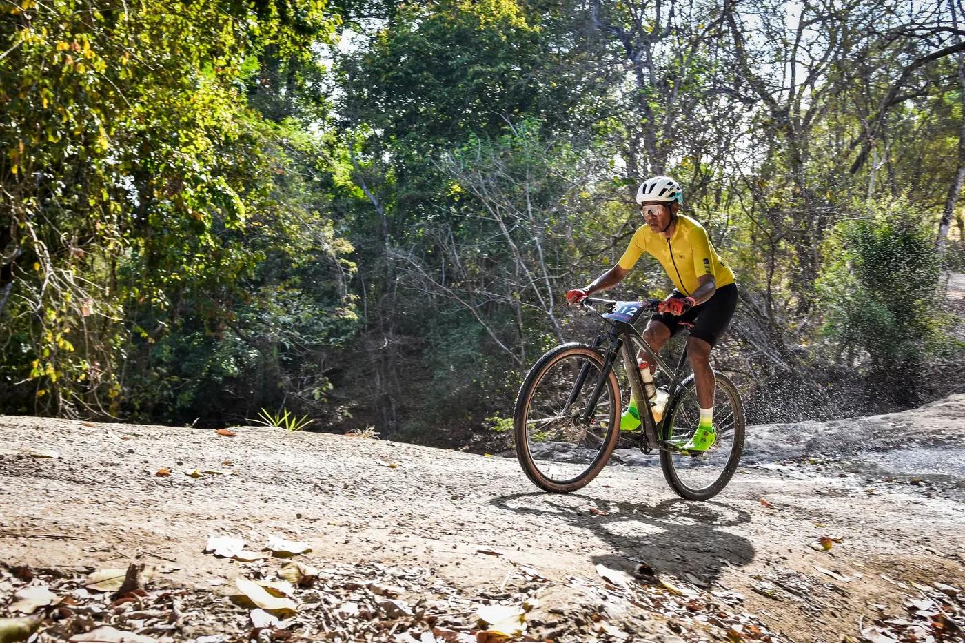
Natural jungle singletrack, roots, rocks, ruts; steep
Natural root-rock-rut singletrack; gnarly, overgrows quickly; signature tech (Trailhead 'Numb')
Hardly any signage - guide/operator effectively required
Low-key; operator-run, uncrowded trails
Season & conditions
Ridable year-round; monsoon ~May-Oct (wetter/slippery); NP 'Numb' trails close ~16 Feb-31 May (burning season)
Best (dry, cool) ~mid-Nov to mid-Feb
Burning/haze season ~16 Feb-late Apr/May (AQI often 150-200, worst March); monsoon mud
Getting there & gear
Doi Suthep-Pui NP entry fee ~100 THB (foreigners)
Permits and operators change - confirm before booking.
Van/4x4 shuttle from Chiang Mai to Doi Pui/Doi Suthep summit (no public lift)
All operator van/4x4 shuttle - Trailhead, X-Biking, Mountain Biking Chiang Mai
Rental via operators (quality varies - MED); signal decent city-facing, patchy deeper in park
Minimal at trailheads (no formal base/parking); operator van refreshments/lunch; city cafes/shops; NP checkpoint at Huai Kaeo
Chiang Mai hub; Trailhead Thailand; X-Biking Chiang Mai; Mountain Biking Chiang Mai
Hazards & rescue
Steep unmarked natural trails, overgrowth, jungle remoteness, wet-season mud, dry-season air quality
Guide effectively required (unmarked); operators provide
VERIFY - operator support-vehicle/4x4 evac; close to city so quick evac to Chiang Mai hospitals (Chiang Mai Ram, Maharaj Nakorn); Thai emergency 1669 (medical) / 191 (police)
This profile is desk research, compiled from public sources - not a first-hand mountain-bike network report. Coordinates are approximate.