

Crans-Montana
Also known as: Crans-Montana Bike
Panoramic views over the Rhone valley from the descents; Alpine peaks, forests, lakes and waterfalls; the Plaine Morte glacier accessible by lift, and vineyard/wine country in the valley below.
Who in your group rides what
Whether everyone in your group gets a day at Crans-Montana - the grades on offer, the named zones, and how mixed abilities split up.
UK/Euro colour system - green / blue / red / black; the bike park is blue/red/black with no true green, and blues here ride harder than typical Alps blues.
Group split by lift mid-station - ride the upper mountain only when higher trails are closed; the Montana-Arnouva mid-zone (~1700 m) allows shorter loops while strong riders continue all the way down to Sierre.
Very accessible by public transport and car-free once on the plateau; best for intermediate-to-expert groups. Families/beginners are served by a skills loop and 5-15 km marked loops near Crans, but the beginner-to-advanced bridge is weaker.
The riding
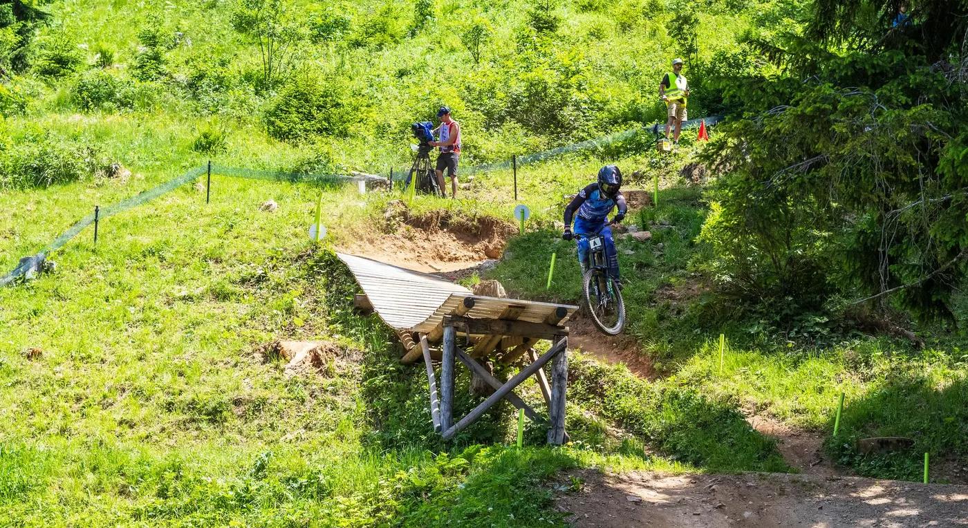
Rocky forested singletrack and open meadows up high; dustier, looser, drier soil lower toward the Rhone valley. The bike park mixes natural rock with built berms/jumps and a Northshore zone.
Mixed - bike-park black is steep, natural and technical (used for EWS stages); natural trails are rocky alpine singletrack up high and dusty/loose lower down. Moderate exposure on high traverses.
Signposted marked network; QR codes on e-bike charging stations link to an official interactive map (MTB, gravel, road, e-bike) with food stops and guiding. Natural/unmarked lines need map skills.
The compact bike park can feel busy on core trails, while the wider natural network is a rabbit warren offering easy solitude away from the lifts.
Season & conditions
Ride when snow-free, roughly late April to mid-October depending on snow; the Cry d'Er cable car runs year-round but higher lifts (Plaine Morte, Violettes, Arnouva) and upper trails typically open early July.
Summer to early autumn - roughly late June through September/early October.
Hosts a NEW UCI XCO/XCC World Cup that debuted 21-23 June 2024, and hosted the 2025 UCI MTB World Championships XCO (10-14 Sept 2025). The ~3.5 km circuit sits on the resort plateau between town and Lake Chermignon; prior events include EWS 2021/2022 and Swiss Bike Cup 2023.
Alpine afternoon thunderstorms, rapid temperature/visibility changes at altitude, and deep-valley heat lower down; upper trails close when snow-covered.
Getting there & gear
No lottery. Bike lift pass roughly CHF 25-55 per 24h (varies by web deal/season; multi-day cheaper); the Sierre-Crans-Montana funicular is NOT included in the lift pass.
Permits and operators change - confirm before booking.
Nearest valley town is Sierre (direct train from Geneva Airport); from Sierre the SMC funicular climbs to Crans-Montana, then a short walk/ride to the gondolas. The walk from Sierre station to the funicular is uphill.
Two gondolas do the uplift - Crans-Cry d'Er (year-round) reaches the main bike park and Montana-Arnouva serves the family/mid zone; the SMC funicular links Sierre and Crans-Montana, with free local shuttle buses in town.
Suitable bikes range from XC hardtails to 160mm+ enduro/DH depending on trail (half-face and knee pads reasonable for park/EWS lines). E-bike charging stations throughout town; carry water, with mountain restaurants en route. Connectivity generally good in-resort (est).
Bike park (3 DH runs plus Northshore zone), skill park/skills loop, bike hire/schools, mountain restaurants, spa/lake options and full resort-town amenities.
Crans-Montana Tourism / MyCMA (lift operator); local bike guides and shops in Crans and Montana; hub towns Sierre and Sion in the valley.
Hazards & rescue
Steep technical black/EWS terrain, rocky/loose surfaces, blues that ride harder than their grade, and upper-trail snow closures; do not assume year-round riding despite the year-round gondola.
None required; the marked network and QR-map are self-guided friendly, with guides available for locals-only lines and wine-tasting descents.
Lift mid-stations and access roads provide bail-out points; standard Swiss Alpine rescue (emergency 112, Valais heli rescue). Resort tourism contact +41 27 485 04 04 (rescue specifics est).
This profile is desk research, compiled from public sources - not a first-hand mountain-bike network report. Coordinates are approximate.