

Bukit Timah Mountain Bike Trail
Also known as: Bukit Timah MTB Trail, BT Trail, Centipede
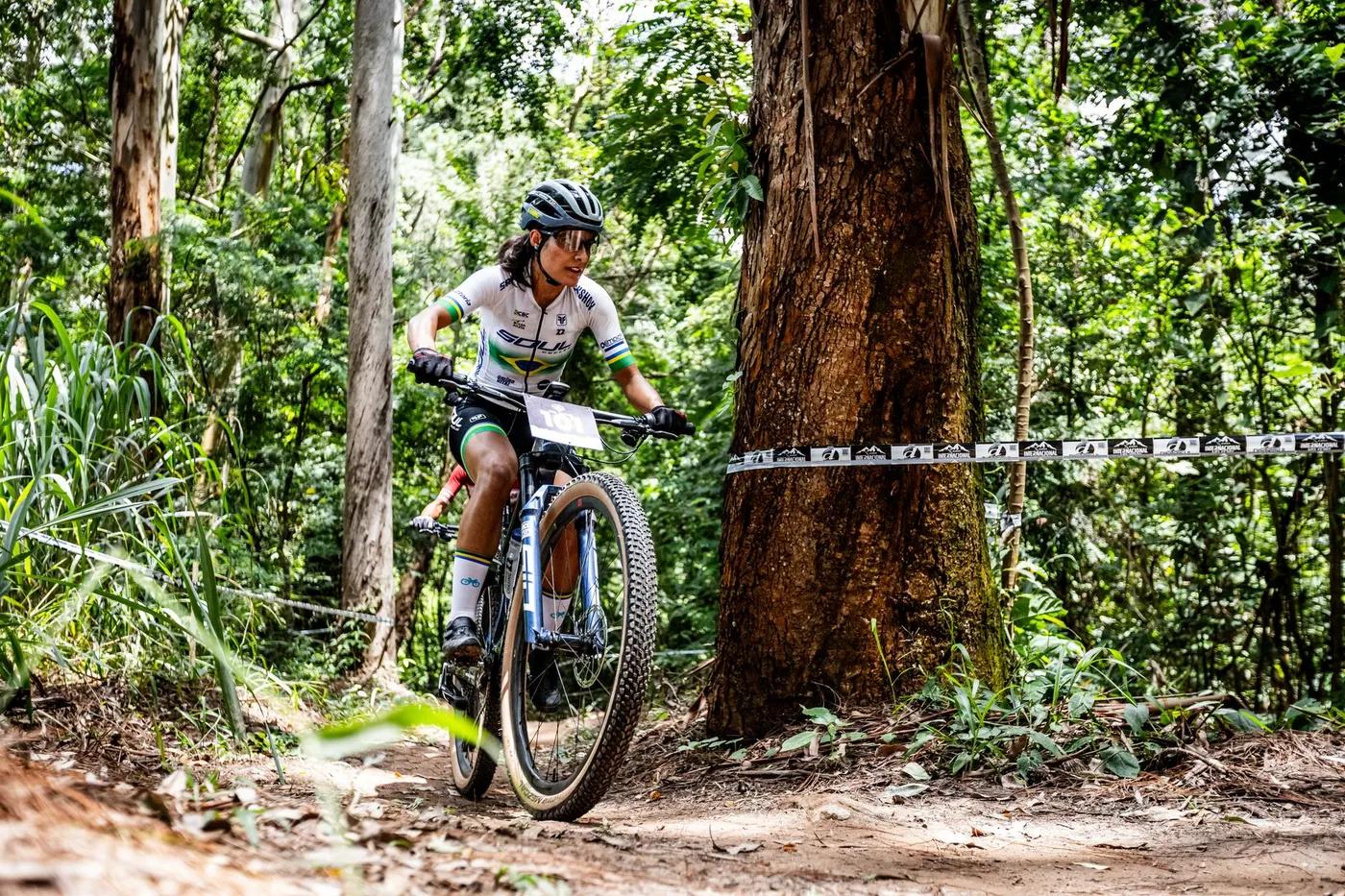
Dense secondary rainforest at the base of Bukit Timah Hill, Singapore's highest natural point.
Who in your group rides what
Whether everyone in your group gets a day at Bukit Timah Mountain Bike Trail - the grades on offer, the named zones, and how mixed abilities split up.
Intermediate to advanced (blue square to black diamond)
GROUP SPLIT: riders can exit at section junctions and rejoin the loop at a later section.
Multiple entry/exit points let riders skip sections. Own MTB required, not suitable for beginners.
The riding
Natural dirt singletrack, roots, rock gardens, hardpack
Rock gardens, rock drops, roots, blind corners and technical climbs. Low fall exposure on forest floor.
23 numbered sections, signposted single-direction clockwise route with multiple entry and exit points. NParks trail markers.
Popular with the local MTB community, busy on weekends
Season & conditions
Open year-round in daylight; closed by NParks when wet/muddy
Year-round (tropical), ride in dry conditions
Slippery roots and rocks after rain, trail closed when wet. Afternoon thunderstorms, heat and humidity.
Getting there & gear
Free, no permit required
Permits and operators change - confirm before booking.
Car parks at Hindhede Drive or Dairy Farm Road. Near Beauty World MRT on the Downtown Line.
MRT/bus to Beauty World; ride-in via Rail Corridor and park connectors
Carry own water, none on trail. Mobile coverage good.
Toilets and car parks at Hindhede Drive and Dairy Farm Road, visitor centre nearby
Local bike shops (Treknology3, Rodalink); Mountain Bike Association Singapore
Hazards & rescue
MTB-only trail, hikers fined 200 SGD. Very slippery when wet, technical rock features.
None, self-guided
Multiple exit points onto park roads. Emergency number 995.
This profile is desk research, compiled from public sources - not a first-hand mountain-bike network report. Coordinates are approximate.