

West Coast Wilderness Trail
Also known as: WCWT
Rainforest with ancient trees, Kapitea and Loopline Reservoirs, Kawhaka Pass gorge suspension bridge, Cowboy Paradise, Lake Kaniere, Kaniere Water Race, Hokitika (pounamu/glass, Sunset Point), Treetop Walkway, Ross goldfields
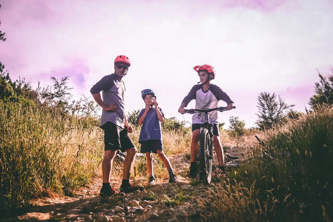
Who in your group rides what
Whether everyone in your group gets a day at West Coast Wilderness Trail - the grades on offer, the named zones, and how mixed abilities split up.
NZ Cycle Trail Grade 2 (easy) with Grade 3 (intermediate) on-road sections
Beginner: flat Hokitika-Ross or Lake Kaniere out-and-back day sections. Advanced/full: 4-day traverse including the Kawhaka Pass climb and Grade 3 on-road legs.
Beginner and family friendly, especially Hokitika-Ross; e-bikes permitted; road sections into Ross discouraged for children
The riding
Old packhorse tracks, tramlines, railways and water races linked by flowing singletrack; sweeping boardwalk, bush-lined gravel and sealed/rural road; wide and smooth (hybrid bike fine)
Mostly wide, smooth, gentle-gradient and family-friendly; Kumara-Kawhaka Pass has a reasonable climb; historic Totara Bridge near Ross is structurally closed and the road ride into Ross needs care
Well signposted with NZ Cycle Trail signage, never far from main roads; free offline Great Rides App and downloadable map; signed active detours
Popular Great Ride, busiest Dec to March; quieter rainforest stretches between towns
Season & conditions
Year-round (mild coastal climate); check trail alerts for floods/washouts
Rideable year-round; peak Dec to March; autumn and winter praised for snow-capped Alps and crisp clear air
Autumn/winter clear-air views of snow on the Southern Alps; Hokitika Wildfoods and pounamu/glass art scene
West Coast rain reputation (though mild with plenty of sun); floods and washouts occur; check forecast and trail-alert page
Getting there & gear
Free to ride (no trail-use fee); services booked separately
Permits and operators change - confirm before booking.
Main towns Greymouth and Hokitika (Hokitika airport); ~4 hr from Christchurch via Arthur's Pass; TranzAlpine train to Greymouth; InterCity buses
Trail Transport (Greymouth) shuttles, bike hire and bag transfers; Wilderness Trail Shuttles drop-off/pick-up, car relocation and luggage; Cycle Journeys hire/shuttles/self-guided packages
Carry snacks/water on stretches with no services; good coverage in towns but virtually none Kumara to Kaniere; pre-arrange transport
Toilets at convenient points; food/groceries in towns (pubs/cafes a highlight); Cowboy Paradise refreshments/toilets no longer for non-guests (picnic tables only)
Trail Transport (Greymouth), Wilderness Trail Shuttles, Wilderness Sports & Cycles, Cycle Journeys, Adventure South; hub towns Greymouth and Hokitika
Hazards & rescue
Totara Bridge structural closure near Ross; road sections into Ross need care (children discouraged); Hokitika stopbank-works detour; floods/washouts; patchy coverage south of Kumara; check trail-alert page
Rideable self-guided/independent; guided/supported tours available (e.g. Adventure South, packages via Trail Transport and Cycle Journeys)
Trail never far from main roads with town access at Greymouth, Kumara, Hokitika and Ross for exits; pre-arrange transport due to coverage gaps; 111 for emergencies
This profile is desk research, compiled from public sources - not a first-hand mountain-bike network report. Coordinates are approximate.