

Signal Hill / Three Peaks
Also known as: Signal Hill MTB, Dunedin trails
Panoramic views over Dunedin city, Otago Harbour and peninsula; Centennial monument with bronze figures
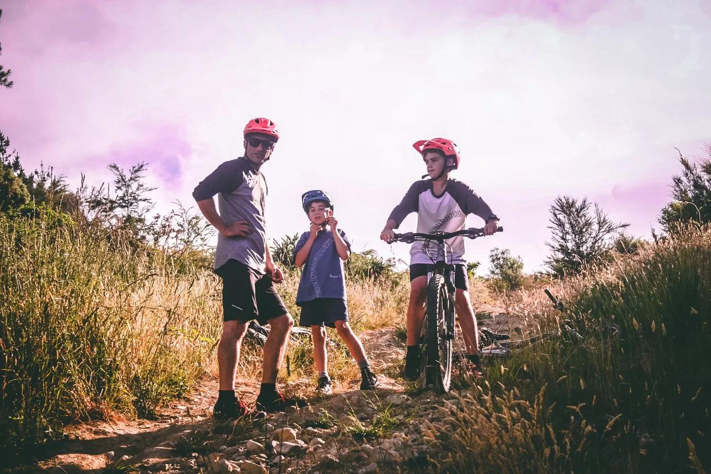
Who in your group rides what
Whether everyone in your group gets a day at Signal Hill / Three Peaks - the grades on offer, the named zones, and how mixed abilities split up.
NZ Grade 2 (Big Easy) through Advanced, Expert and Extreme DH (DCC tiers)
Beginner: Big Easy (Grade 2) climb and easier descents. Advanced: national/Oceania DH and expert/extreme chutes (shuttle-served).
Spans easy climb trails to extreme DH so suits mixed groups; shared with walkers
The riding
Forest loam and clay singletrack, pine plantation, gravel access roads
Rock gardens, jump lines, ruts and steep chutes; hosts NZ national and Oceania DH; among NZ's most demanding DH tracks
Signed with map locator boards at key points (e.g. The Plateau); full Trailforks coverage with GPX/KML
Busy popular network close to the city; walkers on shared trails; event days crowded
Season & conditions
Effectively year-round; can be muddy and greasy in wet Dunedin winters
Year-round (coastal Dunedin, largely snow-free)
Three Peaks Enduro event route (Signal Hill / Mt Cargill / Flagstaff)
Coastal maritime rain, mud and wind; periodic possum-control operations
Getting there & gear
Free public reserve; no entry fee
Permits and operators change - confirm before booking.
Free parking at Logan Park High School / Butts Rd car park; sealed road access to summit via Signal Hill Rd
Dunedin Bike Shuttle / Dunedin Bike Hire run uplift shuttles to trail tops
Carry water; good urban mobile coverage; DH-capable bike for expert lines
Toilets near trailheads; car park; full services in Dunedin city nearby
Mountain Biking Otago (club); iBike Hire, Dunedin Bike Hire, Bike House, Dunedin Ebike Hire
Hazards & rescue
Steep expert/extreme DH lines; periodic possum/1080-type control operations; shared with walkers
None required; self-guided; guides available via Dunedin bike shops
Multiple road access points (Signal Hill Rd, Rimu St/Ravensbourne, Logan Park) give quick egress; 111 for emergencies
This profile is desk research, compiled from public sources - not a first-hand mountain-bike network report. Coordinates are approximate.