

Alps 2 Ocean Cycle Trail
Also known as: A2O
Aoraki/Mt Cook, turquoise glacial lakes Pukaki/Tekapo/Ohau, Mackenzie tussock, hydro-dams (Benmore, Aviemore, Waitaki), Clay Cliffs, Elephant Rocks, Takiroa Maori rock art, Oamaru Victorian precinct
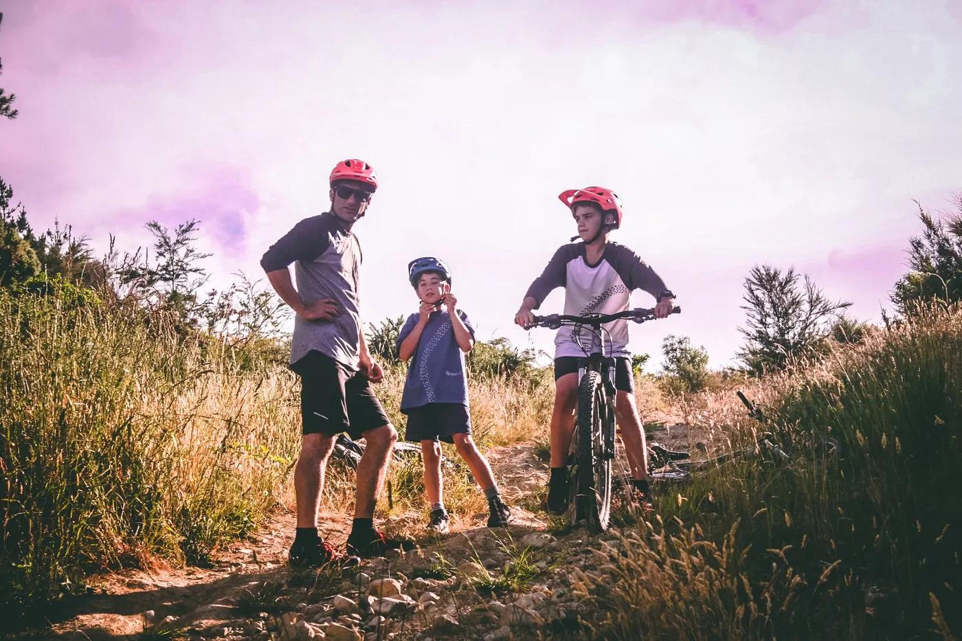
Who in your group rides what
Whether everyone in your group gets a day at Alps 2 Ocean Cycle Trail - the grades on offer, the named zones, and how mixed abilities split up.
NZ Cycle Trail Grade 2 (easy) to Grade 3 (intermediate)
Beginner: easy Grade 2 day sections e.g. Tekapo canals, Twizel-Ohau or Lake Aviemore. Advanced: full multi-day traverse including Grade 3 Ohau-Omarama, Ahuriri arm and Kurow-Oamaru.
Broadly accessible self-guided touring for mixed groups; long remote stretches favour prepared riders; e-bikes permitted
The riding
Mix of purpose-built cycle track, canal paths, quiet country roads, old railway line and gravel (~27% smooth shingle, ~26% gravel road, ~19% sealed, ~11% grass)
Mostly easy but includes significant hills and steep drop-offs; the Ahuriri arm is narrow with steep drop-offs (care in wind); creek crossings on Jollie-Braemar gravel; steep Tarnbrae descent
Well signposted with NZ Cycle Trail signage; major mountains/lakes aid navigation; free offline Great Rides App and official map
Popular Great Ride, busiest Dec to April; long remote sections offer solitude between towns
Season & conditions
Best Dec to May; spring (Sep to Nov) can be wet/windy; winter (Jun to Aug) may bring snow/frost making parts impassable
Summer to autumn (Dec to May) ideal; peak Dec to April
Oamaru dark-sky stargazing and little blue penguins; Mackenzie golden tussock and turquoise lakes in summer
Highly changeable alpine/high-country weather; Ohau Weir impassable in flood; flood detours on Kurow-Duntroon side rivers; strong exposed-lake winds; summer sun exposure
Getting there & gear
Free to ride (no trail-use fee); paid services (shuttles, heli, hire, luggage) booked separately
Permits and operators change - confirm before booking.
Three major airports within 2 to 4 hrs (Christchurch, Dunedin, Queenstown); InterCity buses to Tekapo, Mt Cook, Twizel, Omarama, Oamaru; hubs Twizel and Oamaru
Section 1 uses a short helicopter hop across the Tasman River from Mt Cook airport (pre-book, weather-dependent) replacing an unbridged crossing; skip via Tekapo/Jollie alt starts. Cycle Journeys and others run shuttles, bike hire and luggage transfers.
Long stretches with no food or water (carry ample); patchy cellphone coverage; Wi-Fi at cafes/accommodation; carry warm and wet-weather gear year-round
Public toilets at intervals; food/water in towns; larger towns (Tekapo, Twizel, Omarama, Oamaru) well serviced
Cycle Journeys (Christchurch/Twizel), A2O Cycle Tours, Trail Adventures, Adventure South, Cook Connection, Southern Lakes Helicopters
Hazards & rescue
Helicopter section weather-dependent (have a backup); remote sections; Ahuriri arm steep drop-offs; road sections with stock/vehicles; flood detours and Ohau Weir closure; check alps2ocean.com trail alerts
Fully rideable self-guided/independent; supported and guided tours also available
Trail near SH8/SH83 much of the way with regular town access as exit points; patchy coverage so pre-arrange transport; 111 for emergencies
This profile is desk research, compiled from public sources - not a first-hand mountain-bike network report. Coordinates are approximate.