

Ulu Klang / Kemensah MTB Trails (Bukit Belacan)
Also known as: Kemensah, Bukit Belacan, Bukit Pau, Taman Bukit Indah Ampang trails, Ulu Klang network
Kemensah river valley, forest reserve edge, ridge views toward Klang Gates and Ampang hills.
Who in your group rides what
Whether everyone in your group gets a day at Ulu Klang / Kemensah MTB Trails (Bukit Belacan) - the grades on offer, the named zones, and how mixed abilities split up.
Kemensah-Bukit Pau = blue, family-friendly; other links moderate
Group split: families ride Kemensah-Bukit Pau out-and-back; stronger riders push through to Bukit Belacan/Bukit Repin links.
Segments suit families (Bukit Pau) up to keener riders on the longer links; good mixed-group base.
The riding
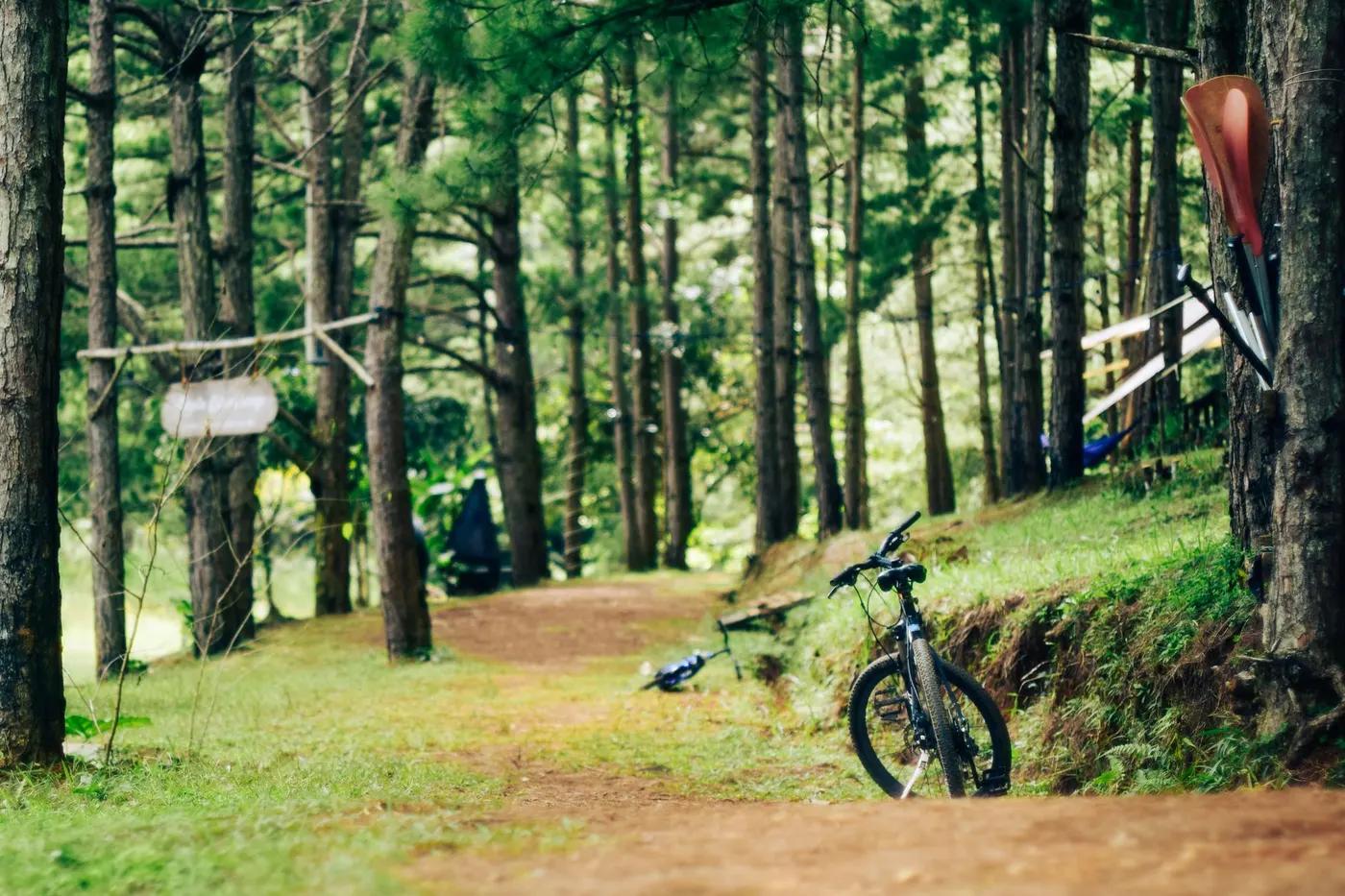
Dirt singletrack, roots, rock, some built features; riverside and hill forest.
Drops, jumps and roller-coaster features on some segments; roots and rock; generally moderate exposure.
Informal; Trailforks/Wikiloc mapping recommended as trailheads interconnect and can confuse first-timers.
Shared with hikers and ATV riders on some paths; moderate weekend use.
Season & conditions
Year-round, snow-free (tropical)
Year-round; drier Feb-Sep
Thunderstorms, flash stream rises near Kemensah/Sungai Kemensah, slick roots when wet, leeches.
Getting there & gear
Generally free; some access via private/residential land - ride respectfully.
Permits and operators change - confirm before booking.
Multiple entries: Kemensah Heights, Bukit Indah Ampang (Changkat Bukit Indah 2), and Ulu Klang residential edges.
Self-drive or e-hailing; no dedicated shuttle.
Bring water and tools; mobile coverage varies between good near residences and patchy in forest.
Food and shops in Ampang/Ulu Klang neighbourhoods; minimal on-trail facilities.
Ampang/KL bike shops and MTB community groups.
Hazards & rescue
Shared use with hikers/ATVs, river crossings, wet-root hazard, network can be confusing without a map.
Not required; local knowledge or Trailforks strongly recommended given interconnecting trailheads.
Multiple residential-edge exits; short distances to roads and help.
This profile is desk research, compiled from public sources - not a first-hand mountain-bike network report. Coordinates are approximate.