

Bukit Kokol
Also known as: Kokol Hill, Mesilau
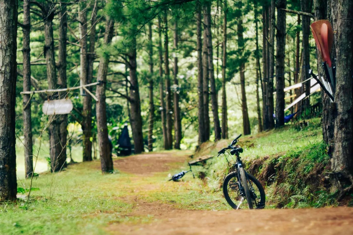
Highland rainforest with views over Kota Kinabalu, the South China Sea coast and toward Mount Kinabalu / Crocker Range.
Who in your group rides what
Whether everyone in your group gets a day at Bukit Kokol - the grades on offer, the named zones, and how mixed abilities split up.
Blue-to-black enduro/DH lines (e.g. Lawamandau downhill, Payau). VERIFY grading
GROUP SPLIT: descent-only groups take uplift/4x4 to the transmission-tower start and ride down the enduro/DH lines; less-experienced riders should stick to mellower fire-road descents. VERIFY logistics
Best for experienced riders / organised groups; remote hill location, limited beginner options.
The riding
Steep rainforest singletrack - clay, roots and rock on the Crocker Range ridge; muddy and technical when wet.
Steep, loose and rooty descents through rainforest; jungle DH exposure, drops and fast chutes typical of Sabah terrain. VERIFY features
Emerging/informal; local knowledge or guide strongly advised as mapping is sparse and trails are hand-built.
Quiet/remote - emerging destination with low traffic; solitude likely outside events.
Season & conditions
Rideable year-round (tropical, no snow) but heavy monsoon rain closes/erodes steep lines.
Drier months (roughly Feb-Apr and Aug-Oct) preferred; Sabah is wet much of the year. VERIFY
Historically a venue for local downhill series and targeted for the Asia Enduro Series (soft-launch plans ~2017-2018). VERIFY current events
Frequent tropical rain, leeches, very slick roots and washouts; heat and humidity at altitude moderated slightly by elevation.
Getting there & gear
- (no formal permit/fee documented; may require arrangement with trail builders/landowner). VERIFY
Permits and operators change - confirm before booking.
Reached via Kokol Hill road ~35 km / ~1 hr from Kota Kinabalu; upper start near Bukit Karatong transmission tower. 4x4/van access for uplift. VERIFY
Vehicle uplift/shuttle from Kota Kinabalu typically arranged with local builders/guides (Borneo Trail Builders and KK operators). VERIFY provider
Enduro/DH bike, full-face and pads; carry water and repair kit. Mobile coverage patchy on the hill. VERIFY
Limited on-trail; nearby Kokol Hill resorts and Kota Kinabalu (~35 km) for services. VERIFY
Borneo Trail Builders (trail developers); Kota Kinabalu MTB operators such as Bike Borneo and Downbelow Adventures. VERIFY current involvement
Hazards & rescue
Steep jungle DH, slick roots, leeches, remoteness, evolving/unmarked trails; confirm current build status and access before travel. VERIFY
Guide/local crew strongly recommended given remoteness, sparse signage and uplift logistics. VERIFY
Remote hill - self-evacuation to Kokol road then Kota Kinabalu hospitals; carry comms. Emergency 112/999.
This profile is desk research, compiled from public sources - not a first-hand mountain-bike network report. Coordinates are approximate.