

Bukit Kiara
Also known as: Kiara Trail
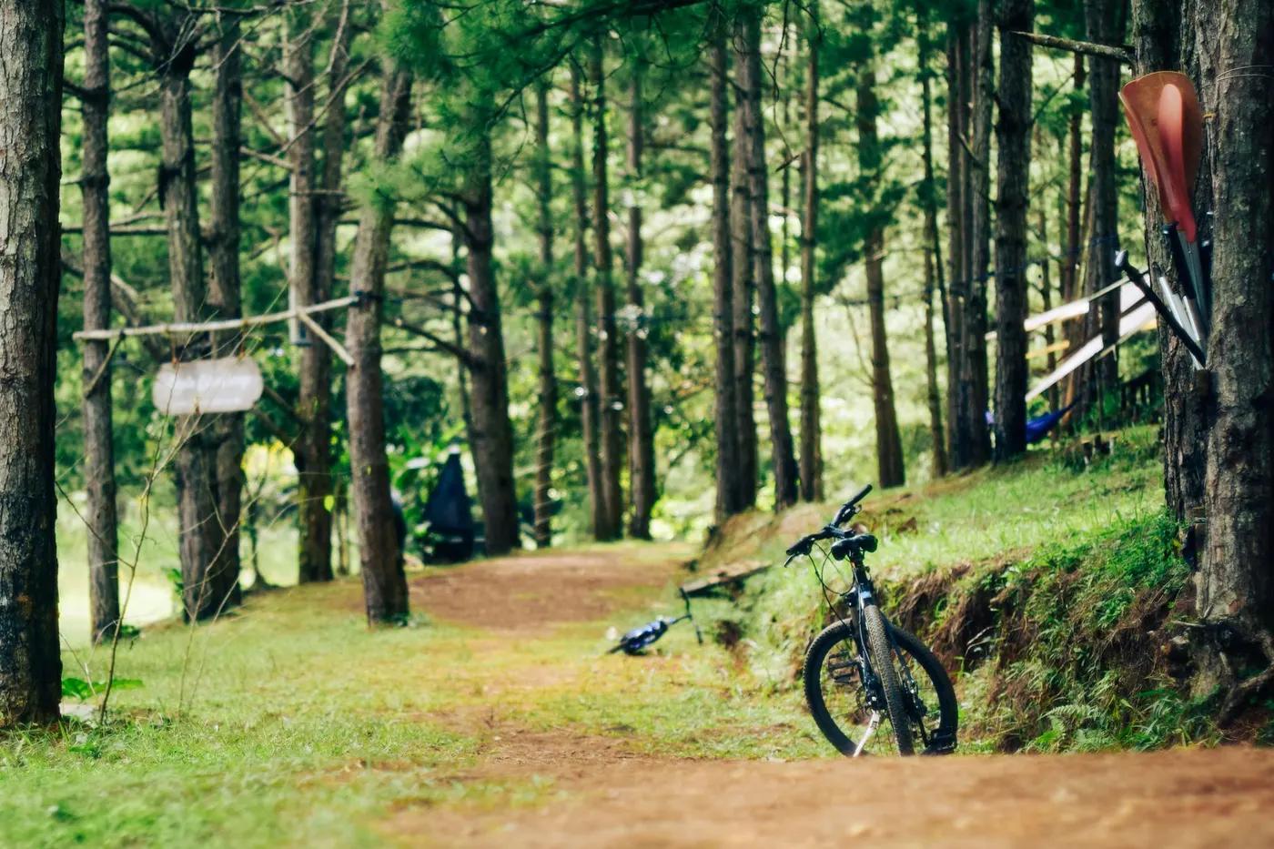
Mature secondary rainforest inside KL; canopy shade, occasional city/KL skyline glimpses; adjacent to TTDI Park gardens.
Who in your group rides what
Whether everyone in your group gets a day at Bukit Kiara - the grades on offer, the named zones, and how mixed abilities split up.
Green to blue predominant, some black-graded tech and the 'Enduro Asia' stage lines. VERIFY exact spread
GROUP SPLIT: beginners stay on green perimeter loops (2K, Bar-a-kuda area); advanced riders take Enduro Asia stages / steeper black lines. Central trailhead lets groups regroup between laps.
Very accessible urban park suited to after-work rides, beginners on green loops, and skilled riders on tech lines; good for mixed-ability groups.
The riding
Forested clay/laterite singletrack with roots and rock, some fire-road and paved connectors; muddy when wet.
Rooty, rocky forested singletrack with berms, small drops and climbs; low fall-exposure urban hill terrain. Some steeper 'downhill' lines exist.
Dense braided network with informal signage; Trailforks map strongly recommended as trails interconnect and are easy to confuse.
Busy - popular shared-use urban park with many hikers, runners and riders, especially weekends and evenings.
Season & conditions
Open all year (tropical, no snow). Trails can close informally after heavy rain.
Year-round rideable; drier spells generally Jun-Aug and Dec-Feb. Trailforks ride logs peak in December.
Hosted Enduro Asia / local enduro race stages (named 'Bukit Kiara Enduro Asia MTB - Stage 1-5' on Trailforks). VERIFY current event calendar
Afternoon tropical thunderstorms; heat and high humidity; trails become very slick and erosion-prone when wet.
Getting there & gear
None - free public federal park (Bukit Kiara Federal Park / Taman Persekutuan).
Permits and operators change - confirm before booking.
Main access at TTDI Park (Jalan Aminuddin Baki) beside the primary school; multiple other entrances (Kiara Hill guard house, Changkat Abang Haji Openg, Sri Hartamas, Mont Kiara). Free entry, street/park parking.
MRT Kajang Line to TTDI station, ~10 min walk to trailhead; ride-hail and self-drive easy. No formal uplift/shuttle.
Standard XC/trail bike; carry water (hot, humid). Good mobile coverage across the network given central KL location.
TTDI Park has toilets, parking, seating and food nearby in TTDI; bike shops within KL. VERIFY on-site details
KL bike shops and clubs; Enduro Asia event organisers historically active here. VERIFY specific operators
Hazards & rescue
Shared-use congestion (hikers/runners on narrow trails), slick roots/mud when wet, macaques, occasional trail-access disputes over development. VERIFY current status
Not required; self-guided. Local bike shops and clubs run social rides.
Many exits to surrounding urban roads; central KL location gives fast access to hospitals/emergency services (112/999).
This profile is desk research, compiled from public sources - not a first-hand mountain-bike network report. Coordinates are approximate.