

Broga MTB Trails
Also known as: Bukit Broga, Broga Hill trails, Mount Tok Wan area
Panoramic valley views from Broga's peaks, famous at sunrise; rolling green hills.
Who in your group rides what
Whether everyone in your group gets a day at Broga MTB Trails - the grades on offer, the named zones, and how mixed abilities split up.
Intermediate; strenuous climb
Group split: less-fit riders turn back at the first saddle/viewpoint while stronger riders complete the full loop and descent.
Best for fitter intermediate riders; casual/first-timers may find the climb hard.
The riding
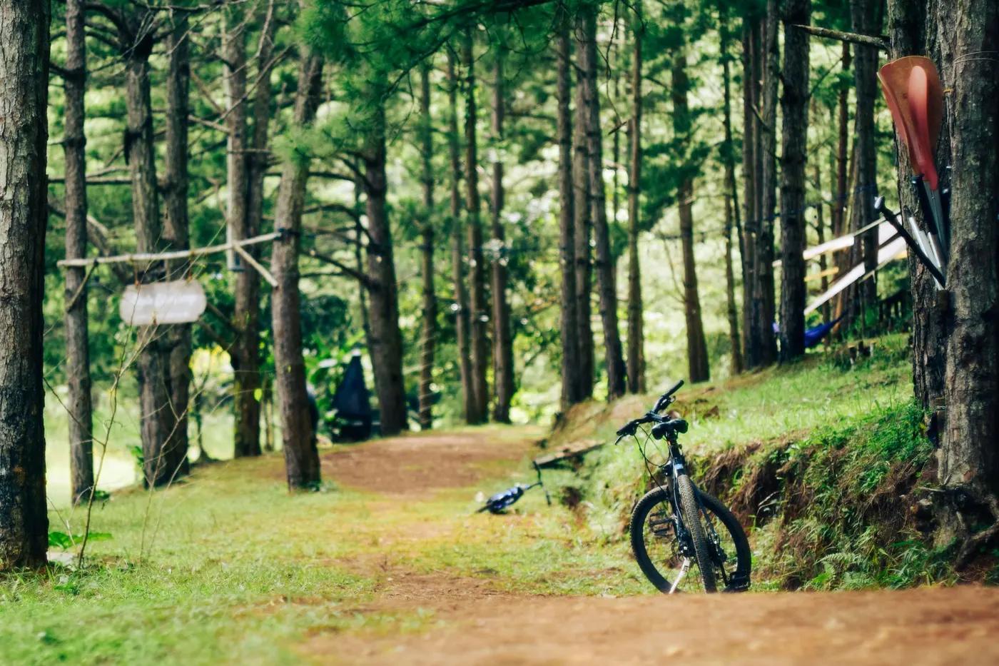
Grassland/lalang ridge, dirt singletrack, roots and rock; open hill plus forest.
Steep loose climbs and fast descents, roots and rock; moderate exposure on the downhill.
Informal; trails mapped on community platforms, physical waymarking limited.
Broga Hill is a very popular sunrise hike; ride early or on quieter forest singletrack to avoid crowds.
Season & conditions
Year-round, snow-free (tropical)
Year-round; drier Feb-Sep gives better grip
Exposed grassland heat, thunderstorms, slippery clay descents when wet.
Getting there & gear
Small parking fee typical; no permit generally required. Confirm locally.
Permits and operators change - confirm before booking.
Access via Broga/Semenyih roads; roadside parking near the base.
Self-drive; no dedicated shuttle.
Carry ample water (hot, exposed climb) and tools. Mobile coverage variable.
Warung/food stalls and parking near the base; minimal on-trail facilities.
Kajang/Semenyih and KL bike shops and clubs.
Hazards & rescue
Heat and sun on exposed climb, slippery descents when wet, heavy pedestrian traffic on the popular hill.
Not required; local knowledge helpful for trail links.
Loop returns to base roads; open terrain aids location, but plan self-evacuation.
This profile is desk research, compiled from public sources - not a first-hand mountain-bike network report. Coordinates are approximate.