

Narooma MTB Trails
Spotted-gum forest ridges near the coast; well-regarded Far South Coast destination with varied zones.
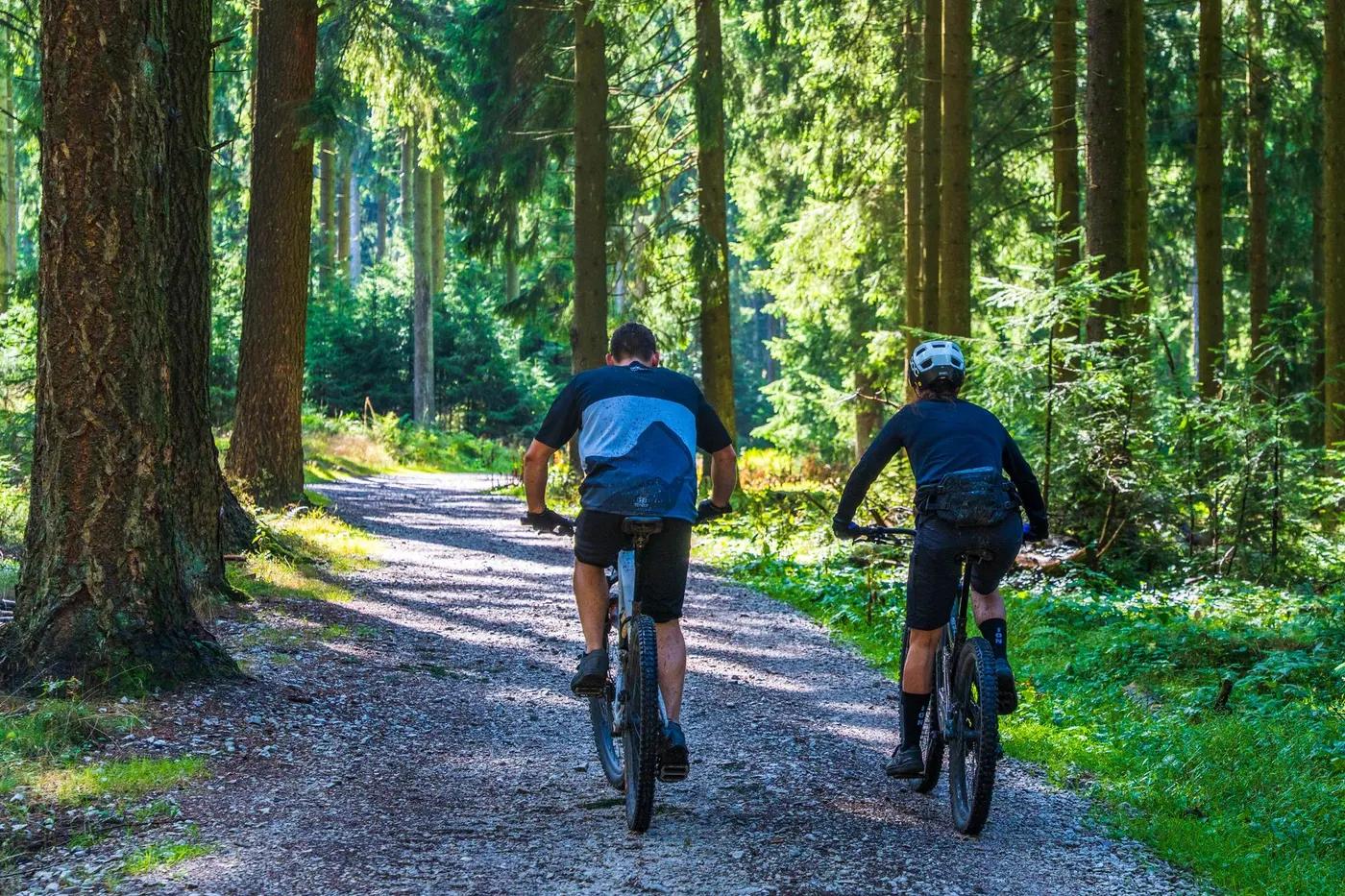
Who in your group rides what
Whether everyone in your group gets a day at Narooma MTB Trails - the grades on offer, the named zones, and how mixed abilities split up.
Green through black (AMBA grading) across zones.
Beginners self-shuttle the Playground Zone from Mitchels Ridge Trailhead; advanced riders climb to Northern/Gravity/Wilderness zones. Single trailhead means loop back to car park.
Zoned layout suits mixed groups - skills Playground for beginners, gravity/wilderness for advanced. 2WD-accessible trailhead.
The riding
Mix of machine and hand-built dirt singletrack; coastal loam, some rock and rootball tech.
Playground beginner-friendly; Gravity Zone has large manufactured jumps; Wilderness Zone unmanicured tech with roots/rock. Exposure moderate on gravity lines.
Signposted zone-based network; Trailforks recommended.
Moderate; busier on weekends/holidays and event days, quiet midweek.
Season & conditions
Open year-round; no snow (coastal NSW).
Year-round; spring and autumn best on the Far South Coast.
Fox Superflow Narooma and volunteer-run weekend/holiday kiosk (BBQ, snacks, merchandise).
Summer heat, thunderstorms and bushfire risk (funded via Bushfire Local Economic Recovery Fund after 2019-20 fires); greasy when wet.
Getting there & gear
Free public access (Forestry Corporation of NSW MTB hub); no entry fee.
Permits and operators change - confirm before booking.
Only parking/access point is corner of Princes Highway and Mitchels Ridge Road, just north of Dalmeny, ~10 min from Narooma; easily reached by 2WD.
No permanent shuttle; self-shuttle the Playground from the trailhead. Event shuttles at Superflow days.
Bubbler with drinking water at trailhead; carry water/tools; patchy mobile coverage, download Trailforks offline.
Drop toilets and drinking-water bubbler at Mitchels Ridge Trailhead; volunteer kiosk on weekends/holidays.
Mountain Bike Narooma club (builds/maintains trails); Forestry Corporation of NSW; Narooma bike services.
Hazards & rescue
Active state forest (possible logging); large jumps in Gravity Zone for experienced riders; single access point.
None required; self-guided.
Fire trails link zones back toward the single trailhead; note exit routes as coverage is patchy.
This profile is desk research, compiled from public sources - not a first-hand mountain-bike network report. Coordinates are approximate.