

Mt Coot-tha / Gap Creek
Also known as: Gap Creek Reserve
Forested Mt Coot-tha reserve close to Brisbane CBD; city and bushland views.
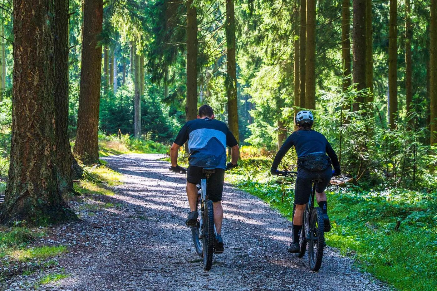
Who in your group rides what
Whether everyone in your group gets a day at Mt Coot-tha / Gap Creek - the grades on offer, the named zones, and how mixed abilities split up.
Green through blue and black; Pipeline is the network's hardest, technical one-way downhill.
Group split: beginners/intermediates ride green-blue loops from the Gap Creek open field hub; advanced riders session Pipeline (one-way DH) and Rocket Frog, regrouping at the field.
One of Brisbane's most popular networks with trails for beginner, intermediate and experienced riders; good for mixed groups from a central hub.
The riding
Forest singletrack over dirt, clay and rock with roots; some loose and technical rock sections.
Ranges from smooth flow to rocky, rooty technical singletrack; Pipeline features wall-ride berms, log rollovers and drops. Moderate exposure on gravity lines.
Signed trails and junctions; council and Trailforks maps available. App recommended for first-time visitors given the trail density.
Very popular; busy after work and on weekends given proximity to the city.
Season & conditions
Open year-round; no snow.
Autumn to spring (Apr-Oct) for cooler, drier conditions; ridable year-round.
Summer heat, humidity and thunderstorms; trails slick and may be closed when wet to prevent damage.
Getting there & gear
Free; council-managed reserve, no permit required.
Permits and operators change - confirm before booking.
Gap Creek Reserve off Gap Creek Rd, Brookfield/Kenmore Hills, ~20-30 min from Brisbane CBD; open field trailhead with parking.
No formal uplift; pedal-access network with fire-road climbs. Self-drive to trailhead.
Water available at the Gap Creek open field; good mobile coverage near the city. Carry standard trail spares.
Gap Creek open field with toilets, water and shaded seating; car parking. Cafes and bike shops in nearby suburbs.
Multiple Brisbane bike shops; Gap Creek/Mt Coot-tha precinct hub.
Hazards & rescue
Shared-use trails (hikers, runners, horses in places), snakes in warm months, and slick surfaces when wet; one-way descent trails (e.g. Pipeline) must be ridden in the correct direction.
None required; self-guided.
Fire roads and multiple exits to the Gap Creek hub and surrounding suburban roads; close to Brisbane emergency services. Call 000.
This profile is desk research, compiled from public sources - not a first-hand mountain-bike network report. Coordinates are approximate.