

Margaret River (The Pines)
Also known as: The Pines, Compartment 10
Pine plantation and Wooditjup National Park native forest; edge-of-town convenience; Wadandi cultural significance.
Who in your group rides what
Whether everyone in your group gets a day at Margaret River (The Pines) - the grades on offer, the named zones, and how mixed abilities split up.
IMBA colours: Green, Blue, with Black features; predominantly beginner-to-intermediate flow.
Group split: beginners/families ride the smooth Pines green/blue flow loops; advanced riders session berms, jump lines and the technical climb, regrouping at Rotary Park/Carters Rd.
Town-edge trails, very accessible and family-friendly; smooth flow suits beginners while berms/jumps entertain stronger riders, so groups can ride together easily.
The riding
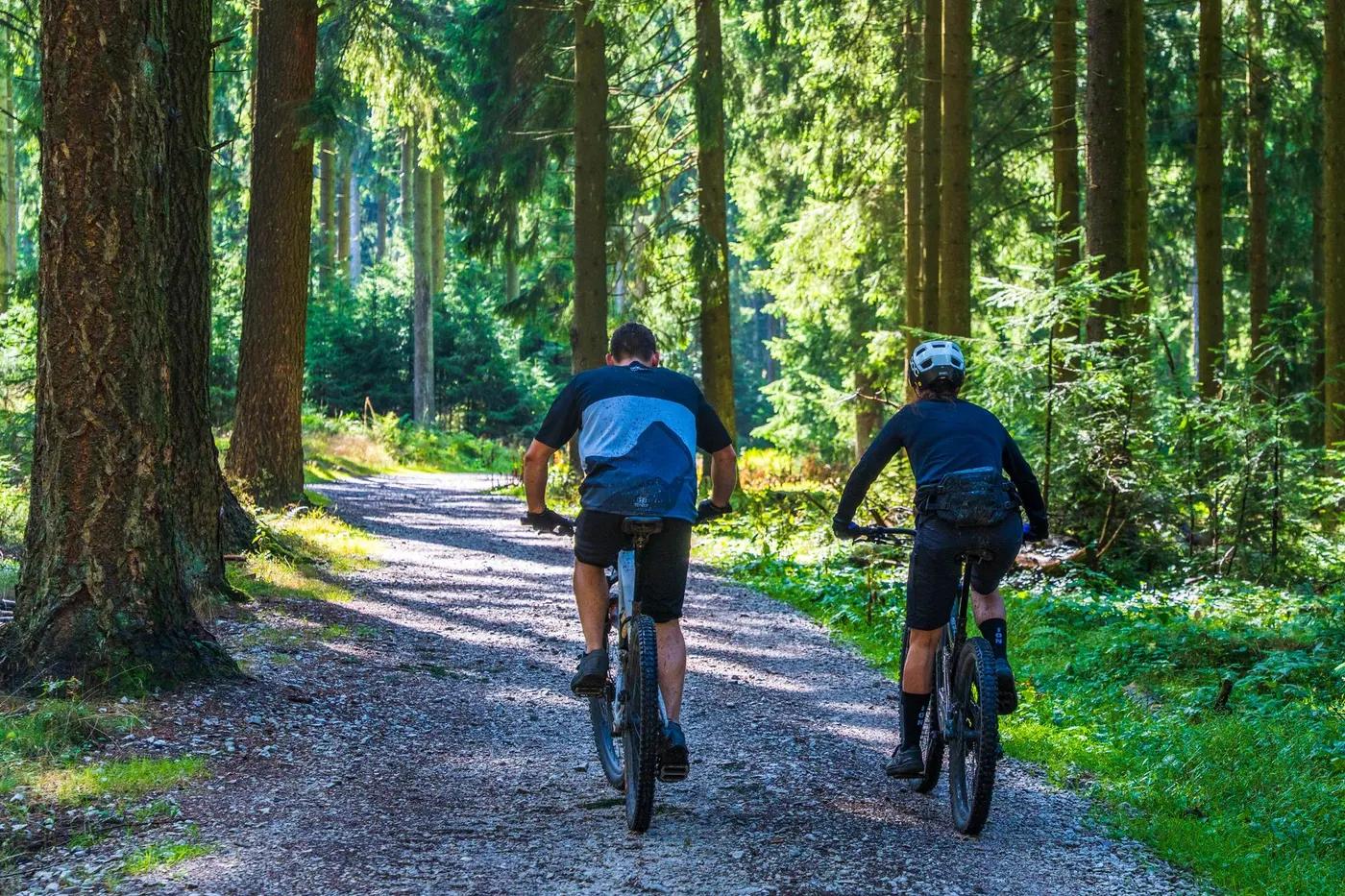
Loamy singletrack through pine plantation and native forest, with shade and limited loose gravel.
Machine- and hand-built flow trails, mostly non-technical with easy climbs, smooth rollable singletrack, berms and tabletop jumps; one notable technical climb. Low exposure.
Signposted and colour-graded, well maintained; Trailforks/MRORCA maps recommended. Networked to the Wadandi Track.
Popular with locals and tourists (Margaret River is a major visitor region); busy weekends/holidays, quieter midweek.
Season & conditions
Open 365 days; no snow. Sections can be muddy after heavy winter rain but drain quickly.
Open all year; loamy soil rides best in drier/warmer months (spring-autumn). Avoid very wet days.
WA Gravity Enduro/MTB events; summer riding aided by forest shade.
Winter mud after heavy rain; summer heat and regional bushfire risk. Generally mild coastal climate.
Getting there & gear
Free entry, open 7 days (public access on DBCA-managed Wooditjup National Park land).
Permits and operators change - confirm before booking.
Sealed access; turn west off Bussell Hwy ~1km north of the northern Margaret River roundabout, or park at Rotary Park adjacent to Carters Rd.
Pedal/XC-flow network; no lift. Self-drive; bike hire in Margaret River town.
Drinking water at trailhead; mobile reception (Telstra and Optus) present. Trail/hardtail bike suits most trails.
Trailhead has toilets, drinking water, parking, shelter, BBQ and signposting; full town amenities nearby.
Margaret River town hub; Margaret River Off-Road Cycling Association (MRORCA); local bike shops/hire.
Hazards & rescue
Snakes in warm months, winter mud, shared-use with walkers; standard forest hazards.
None required; self-guided. Local hire/coaching available.
Town-edge location with quick road access and Margaret River services close by.
This profile is desk research, compiled from public sources - not a first-hand mountain-bike network report. Coordinates are approximate.