

Kowen Forest
Also known as: Sparrow Hill, Kowen
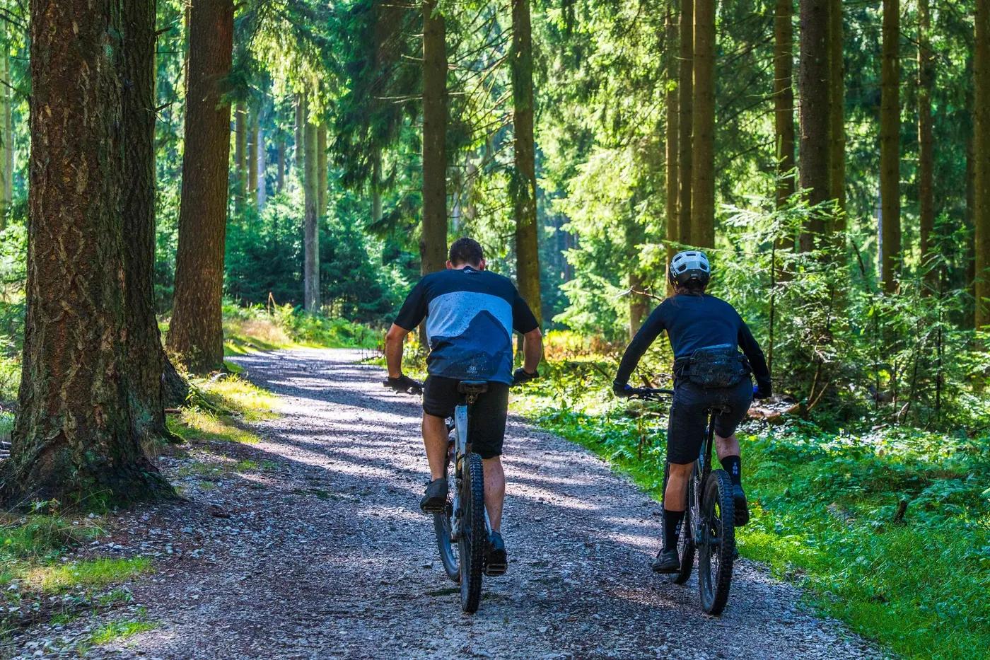
Pine plantation setting; open, fast groomed trails valued for flow rather than views.
Who in your group rides what
Whether everyone in your group gets a day at Kowen Forest - the grades on offer, the named zones, and how mixed abilities split up.
Green to blue, with a few black-graded features; AMBA-style green/blue/black signage.
Beginners ride Kid Stuff (5km) or Short Loop (~16km); advanced riders extend to Long Loop (~40km) or link East Kowen. Loop format allows early bail-out to car park.
Good for mixed groups; family-friendly 5km Kid Stuff loop plus longer loops for fitter riders. Pine plantation, generally accessible.
The riding
Hardpacked dirt and pine-needle singletrack through plantation; fast and grippy, some loose corners.
Generally smooth, fast, flowy singletrack; low exposure. East Kowen (Orchard Road side) rougher with more climbing.
Well signposted numbered/colour-marked loops (Short, Long, Archery, Kid Stuff); Trailforks strongly recommended as no mobile coverage.
Popular with Canberra riders, busy on weekends; quieter midweek and on longer loops.
Season & conditions
Open year-round; occasional frost/cold in winter but no persistent snow.
Autumn to spring; can be ridden year-round but summer is hot and dry.
CORC club races and endurance events (e.g. Scott 24hr historically) held in the forest.
Summer heat and fire-risk closures; trails hold up well but can be dusty when dry.
Getting there & gear
No fee for MTB use of the forest; forestry operations may close areas temporarily.
Permits and operators change - confirm before booking.
Sealed access off Kings Highway between Queanbeyan and Bungendore; turn at Kowen Forest sign, ~1km to car park, ~12km from Queanbeyan.
No formal shuttle; self-shuttle loops. Private vehicle recommended.
No mobile coverage in the forest; carry map/Trailforks offline, ample water, and repair kit.
Basic car park; limited or no on-site facilities. Services in Queanbeyan.
Canberra Off Road Cyclists (CORC) manages/maintains trails; Canberra bike shops nearby.
Hazards & rescue
Active pine plantation - watch for logging trucks/operations; no phone coverage; getting lost is the main risk without a map.
None required; self-guided.
Fire roads bisect loops allowing exit to car park; no mobile signal so plan self-rescue and note nearest exit points.
This profile is desk research, compiled from public sources - not a first-hand mountain-bike network report. Coordinates are approximate.