

Alice Springs Trail Network
Also known as: Alice, Telegraph Station / Araluen
Red Centre outback, West/East MacDonnell Ranges, historic Telegraph Station, dramatic ridgelines and desert vistas.
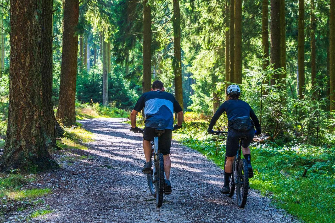
Who in your group rides what
Whether everyone in your group gets a day at Alice Springs Trail Network - the grades on offer, the named zones, and how mixed abilities split up.
IMBA colours; Telegraph Station mostly green/blue fast-flow, Araluen/west side rough black rocky/technical.
Group split: beginners/intermediates ride Telegraph Station green/blue flow east of town; advanced riders take Araluen rocky/technical trails to the west, regrouping at Telegraph Station or town.
Telegraph Station is ~3km from town centre and very accessible; green/blue flow suits beginners/families while west-side tech suits advanced riders, so groups split by zone.
The riding
Desert singletrack - flowy contouring trails, red dirt, sand and rough rockslab/quartzite in the MacDonnell Ranges.
East (Telegraph Station) fast, flowy, smoother; west (Araluen) rough, rocky, technical with janky rockslab descents. Remote desert exposure and heat are the main risks.
Colour-coded/signposted with 4 parking areas at Telegraph Station; extensive network - Trailforks/local maps strongly recommended (maps at Trail Station cafe).
One of Australia's premier riding destinations yet often quiet trails; busiest in winter peak and events.
Season & conditions
Open year-round; no snow. Summer (Dec-Feb) dangerously hot - avoid midday riding.
Southern winter, May-September (peak Jun-Aug); ~25-28C days, cool crisp evenings, dry cloudless skies ideal for day and night riding.
The Redback stage race legacy, now evolved into the Shimano Gravel Muster (winter); CARR social/night rides.
Extreme summer heat (dehydration risk); flash creek crossings after rare rain; strong sun exposure. Winter is dry and stable.
Getting there & gear
Free public trail access (reserve/Crown land); events may charge entry. Confirm any reserve-specific rules locally.
Permits and operators change - confirm before booking.
Sealed access; Telegraph Station Reserve ~3km from Alice Springs CBD with 4 parking areas; Araluen trails on the west side of town.
Predominantly pedal/XC network; no lift. Self-drive/fly into Alice Springs; bike hire and guided rides from Outback Cycling (Ghan Rd).
Carry plenty of water (desert heat), sun protection and repair kit; mobile coverage good near town, patchy on outer trails. Capable trail/hardtail suits east, more travel helps west-side rock.
Trail Station cafe/hub at Telegraph Station (maps, food); Outback Cycling hire; full Alice Springs town services.
Outback Cycling (hire/guiding, Ghan Rd); Trail Station cafe hub; Central Australian Rough Riders (CARR) club.
Hazards & rescue
Heat and dehydration (chief risk), snakes, remote rocky terrain, sun exposure; ride within limits and carry water. Avoid midday summer riding.
None required; self-guided. Guided rides and desert-condition advice via Outback Cycling and CARR club.
Network close to town with multiple access points; Alice Springs hospital and services nearby, but outer/west trails are remote - tell someone your plan.
This profile is desk research, compiled from public sources - not a first-hand mountain-bike network report. Coordinates are approximate.