

Port Hills
Also known as: Lyttelton, Rapaki, Cattlestop
Lyttelton Harbour and Canterbury Plains vistas; volcanic crater rim
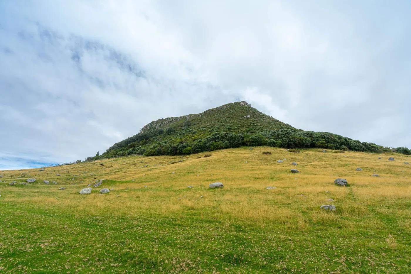
The climbing
What there is to climb at Port Hills, and whether a mixed-ability group can split up here.
1100-1200+ routes across many crags; plus boulders
Cattlestop beginner sport; Rapaki Rock classic trad; Britten steep sport (trachyte)
Many roadside crags across grades; Cattlestop and Pop Up ideal beginner group splits
Roadside Summit Rd crags; short approaches; excellent city-close group fit
Rock & setting
Volcanic basalt (some trachyte); columns and faces; watch loose rock/rockfall zones
Sport, trad, boulder; short single-pitch basalt/trachyte columns and faces; 6-25m
Varied harbour and city aspects; sun/shade selectable across crags
Popular city crags; busy after-work/weekends; many crags spread load
Season & conditions
Dries quickly; climbable most of year
Year-round; spring-autumn best; sunny winter days good
Sunny winter crags above Lyttelton Harbour; harbour views
Hot nor'west wind; sun-baked walls in summer; chase shade/sun by aspect
Approach & gear
Mostly Christchurch City Council reserves, some joint DOC; free access; heed rockfall/closure signage post-quake/fire. Confirm.
Permits and operators change - confirm before booking.
Few min-20 min; mostly short roadside tracks
Christchurch Port Hills; 15-30 min drive from city; some bus access to trailheads; car easiest
Sport draws plus trad rack for Rapaki/Castle Rock; 60m rope; good cell coverage
Christchurch city and Lyttelton lodging; no crag camping
City amenities minutes away; some Summit Rd toilets/carparks
Bolting & safety
Mix bolted sport (rebolted/retro at Cattlestop) and trad; double-bolt anchors on beginner crags. Confirm.
Increased rockfall/cliff-collapse risk post earthquake/fire; loose basalt; check current access/closures. Confirm.
None; instruction courses common at Cattlestop
111; Christchurch hospital close; NZ LandSAR
This profile is desk research, compiled from public sources - not a first-hand crag report. Coordinates are approximate.