

Taghia
Also known as: Taghia Gorge, Taghia n'Ait Bougmez
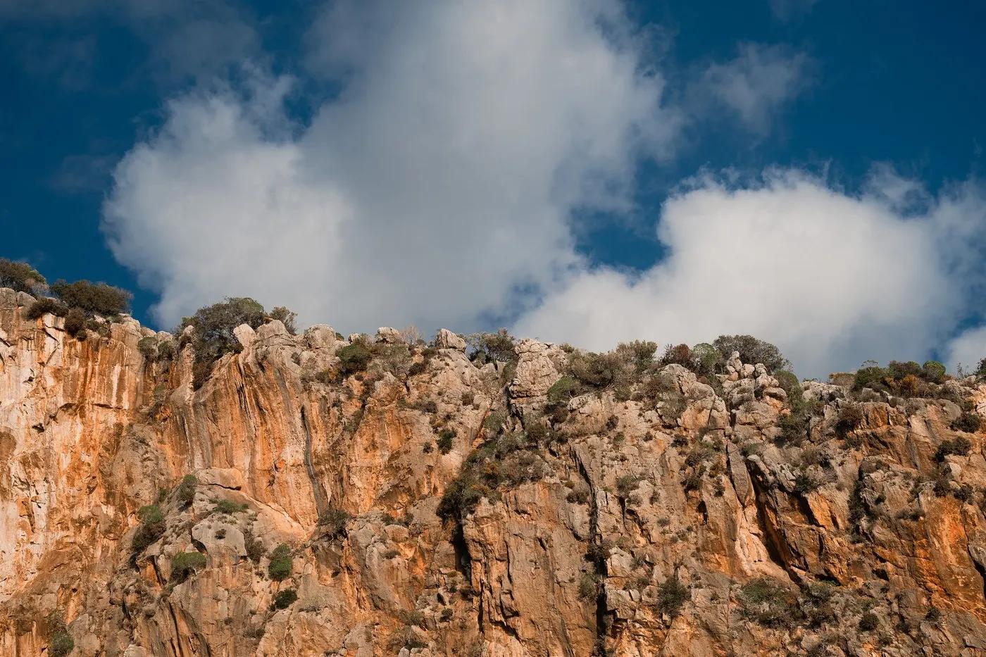
cathedral-like 800-900m walls (Oujdad tooth), remote Berber village, converging gorges
The climbing
What there is to climb at Taghia, and whether a mixed-ability group can split up here.
150+ routes
Rivieres Pourpres 7b+ 600m; Babel; big 6a-7a multi-pitch on Oujdad, Tagoujimt n'Tsouiant, Aksoual
limited beginner terrain; suited to experienced teams; strong parties can spread across walls
remote alpine-style venue; best for fit, self-sufficient multi-pitch climbers
Rock & setting
compact limestone, generally excellent; loose sections on some lines
sustained vertical-to-overhanging limestone big walls to 900m; committing multi-pitch, high exposure
three converging gorges give varied aspects; sun/shade selectable by wall. Confirm.
low crowds, remote; peak-week teams on classics. Confirm.
Season & conditions
spring-autumn; summer hot but walls offer shade; snow/cold shoulders. Confirm.
Apr-Oct
spring greenery and autumn cool; river-carved gorges converge at village
afternoon storms, cold at altitude ~1900m, heat on sunny walls, flash-flood gorges. Confirm.
Approach & gear
no formal permit; pay mule handlers and gite; support local economy. Confirm.
Permits and operators change - confirm before booking.
~2hr mule/foot trail from Zaouiat Ahansal on Berber paths; base approaches 20-60min from village
Marrakech ~6hr drive to Zaouiat Ahansal, then 2hr hike (mules ~10 EUR to carry gear); some road now near village
double ropes, full rack cams/nuts + draws, some routes bolted belays; minimal/no mobile signal. Confirm.
two established gites in Taghia village (basic, hot water, electricity); half-board common
gite meals only; nearest shops Zaouiat Ahansal; bring supplies
Bolting & safety
mixed - bolted belays on many, trad between; verify aging fixed gear. Confirm.
remoteness, rockfall, route-finding on big walls, altitude, storms; French-only topos (Ravier guidebook)
not mandatory but IFMGA/local guides recommended for the terrain; self-sufficiency essential
no local rescue, helicopter evac uncertain/slow; self-rescue capability required. Confirm.
This profile is desk research, compiled from public sources - not a first-hand crag report. Coordinates are approximate.